How to Create Points from CSV using ArcGIS
How to Create Points from CSV using ArcGIS
Creating a set of points in shapefile format using ESRI's ArcGIS software is as simple as running two tools from ArcToolbox.
ZZ - Jun 2016
Creating a set of points in shapefile format using ESRI's ArcGIS software is as simple as running two tools from ArcToolbox.
1st: Check your CSV.
• Spaces, dashes, and periods are not allowed for field names in the header row.
• Make sure there are separate columns for latitude and longitude values.
• Check that longitude values for the western hemisphere are negative (if in decimal degrees).
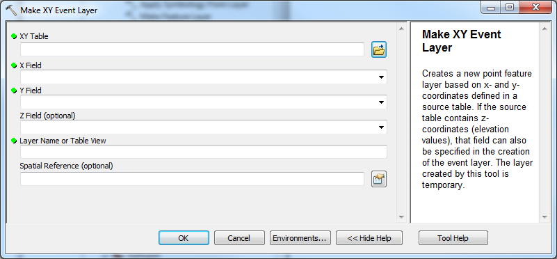
2nd: Run the Make XY Event Layer tool.
• Input your CSV as the XY Table parameter.
• X Field = Longitude, Y Field = Latitude.
• The Layer Name parameter will be used as the shapefile name.
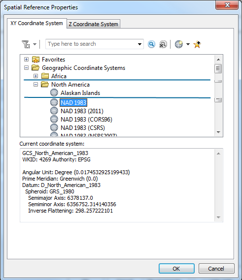
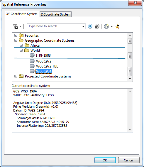
• For Spatial Reference:
Commonly used Geographic Coordinate Systems are NAD 1983 (North America) and WGS 1984 (World).
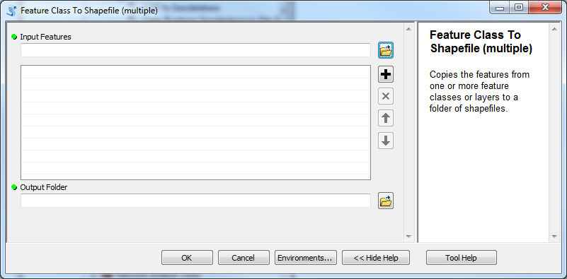
3rd: Run the Feature Class to Shapefile tool.
• Use the XY Event Layer created in the step above as the input for the tool.
ZZ - Jun 2016