January 22-31, 2020
Midwest Weekly Highlights - January 22-31, 2020
Warm Weather Returns
Temperatures returned above normal across most of the Midwest during the period
(Figure 1). Most of the Upper Midwest was 7-12°F above normal, while Iowa, Illinois, Indiana and Ohio were mostly 2-6°F above normal. Missouri was the only state mainly near normal. Minimum temperatures had the most influence on the average (Figure 2), with some areas more than 15°F above normal in northern Minnesota and Wisconsin. More than 50 daily high minimum records were broken or tied throughout the region
(Figure 3).
Limited Precipitation
Precipitation amounts across the Midwest were low during the period (Figure 4). Most of Iowa, Minnesota and western Wisconsin had less than half an inch, with most of Minnesota receiving less than a quarter of an inch. However, most of Wisconsin had above-normal precipitation for the period, with areas of northeastern Wisconsin and the U.P. of Michigan receiving more than twice the normal amount
(Figure 5). More than 200 percent also fell in northwestern Missouri. Most of this precipitation fell as snow in these areas (Figure 6).
Heavy Snowfall
A storm system from January 22-25 impacted the Midwest with heavy snowfall from Missouri to the U.P. of Michigan. Through the morning of January 23
(Figure 7), amounts of 2-3 inches fell in south-central Iowa and north central Missouri, while 3-6 inches fell across portions of northern Wisconsin and the eastern U.P. of Michigan. As the storm matured, heavy snow fell across the U.P. of Michigan, southeastern Iowa and northern Missouri through the morning of January 24 (Figure 8). Snowfall continued through the morning of January 25 in eastern Wisconsin and the U.P. of Michigan
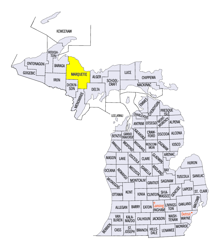
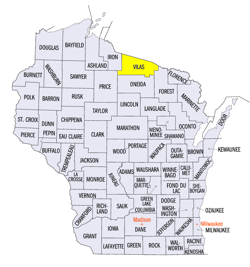
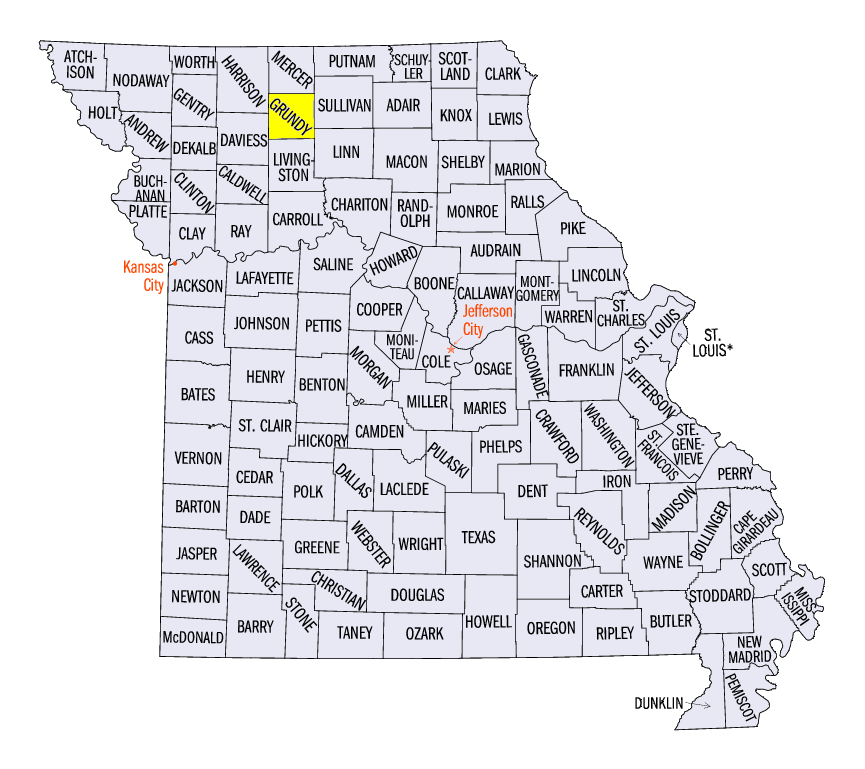
(Figure 9), where an additional 3-5 inches fell. In northern Missouri, total snowfall was 3-5 times the normal amount, while areas in northeastern Wisconsin also had more than twice the normal amount (Figure 10). Some of the heaviest values for the full period included 15.5 inches near Big Bay, MI (Marquette County), 13.7 inches near Land O’Lakes, WI (Vilas County), and 10.8 inches in Trenton, MO (Grundy County). More than 60 daily snowfall records were also broken
(Figure 11).
-BJP-