January 8-14, 2020
Midwest Weekly Highlights - January 8-14, 2020
Extreme Warmth
Temperatures were well above normal across the Ohio River Valley during the week
(Figure 1). Values 10-15°F above normal were common in these areas. Most of Missouri, northern Illinois, eastern Iowa, southern Wisconsin and Michigan were also 3-6°F above normal. More than 400 daily high maximum and minimum temperature records were observed across the region, mostly across the southern Midwest (Figure 2). Minnesota was the only state with below-normal temperatures. Some areas of northwestern Minnesota were 3-5°F below normal.
Heavy Rain in Ohio River Valley
A slow-moving storm during the week led to heavy rain across the Ohio River Valley
(Figure 3). Amounts ranged from 3-5 inches, with locally heavier amounts. In many cases, this was 3-5 times the normal amount, with some areas in central Missouri and Illinois receiving more than 750 percent of normal (Figure 4). Most of this rainfall occurred through the mornings of January 10
(Figure 5), January 11 (Figure 6) and January 12
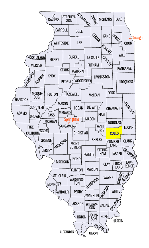
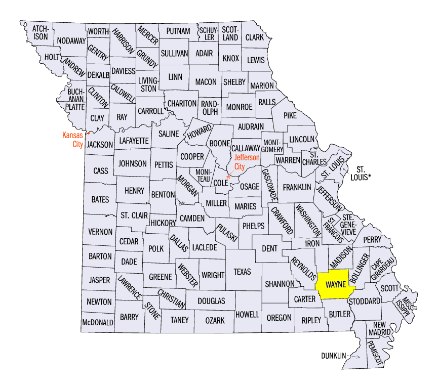
(Figure 7). Some of the heaviest totals for the week included 5.95 inches in Charleston, IL (Coles County) and 5.83 inches near Clearwater, MO (Wayne County). More than 400 daily precipitation records were broken across the region (Figure 8).
Flooding
Heavy rain in the Ohio River Valley led to flooding from January 11 through the end of the period
(Figure 9). Rainfall amounts that were more than five times the normal amount led to moderate and major flooding on smaller rivers across Missouri, and moderate and minor flooding in southern Illinois and Indiana.
-BJP-