April 10-16, 2021
Midwest Weekly Highlights - April 10-16, 2021
Cooler Temperatures Begin Moving In
Warm temperatures finally receded in the western half of the Midwest during the week
(Figure 1). Most of Minnesota, Iowa and Missouri were 1-4°F below normal with slightly warmer temperatures to the east. Most of Michigan was 1-3°F above normal, with areas in northeastern Ohio as much as 5°F above normal. The cooler than normal temperatures in the western half of the region were a vast change from an otherwise month-and-a-half stretch of warmer than normal weeks in the region (Figure 2).
Mississippi River Rain
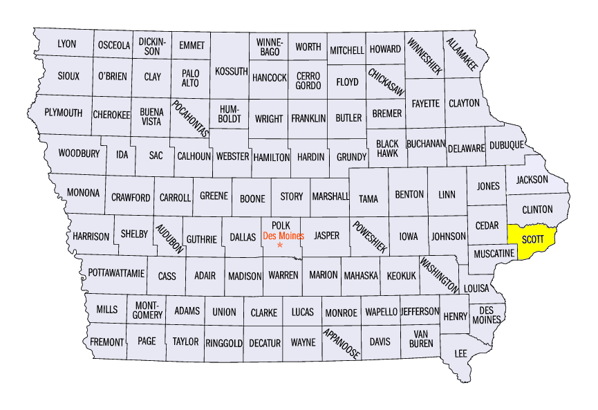
A large area of heavy rain impacted the central Mississippi River Valley during the period
(Figure 3). This area of rain stretched from northern Missouri through northwestern Illinois and eastern Iowa, with most of these areas receiving more than 1.50 inches. Locally heavier amounts over 3 inches were also recorded, including 4.41 inches near LeClaire, IA (Scott County). Most of this rain fell through the morning of April 11 as a large storm system gained strength (Figure 4). Most of the daily precipitation records during the week were in this localized area from rainfall on April 11
(Figure 5). This system also impacted northern Minnesota and the U.P. of Michigan, leading to some light snow (Figure 6) along with rain. Meanwhile, dry conditions were widespread across western Iowa, southern Minnesota and southern Kentucky, with most of these areas receiving less than half the normal amount of precipitation
(Figure 7). Amounts in the Ohio River Valley were largely near to slightly below normal.
-BJP-