March 22-31, 2021
Midwest Weekly Highlights - March 22-31, 2021
Warm End to March
Temperatures were warm to end March across the entire Midwest
(Figure 1). Only a few isolated areas in western Iowa and Missouri as well as northern Minnesota and the U.P. of Michigan were within a degree of normal for the period. Some of the warmest areas were along Lake Erie, where temperatures were more than 10°F above normal. Most of the warmth from the period came during the first five days of the period, as temperatures decreased from several cold fronts in the final days of March. More than 100 daily high maximum and minimum temperatures were broken during the period (Figure 2).
Widespread Rain
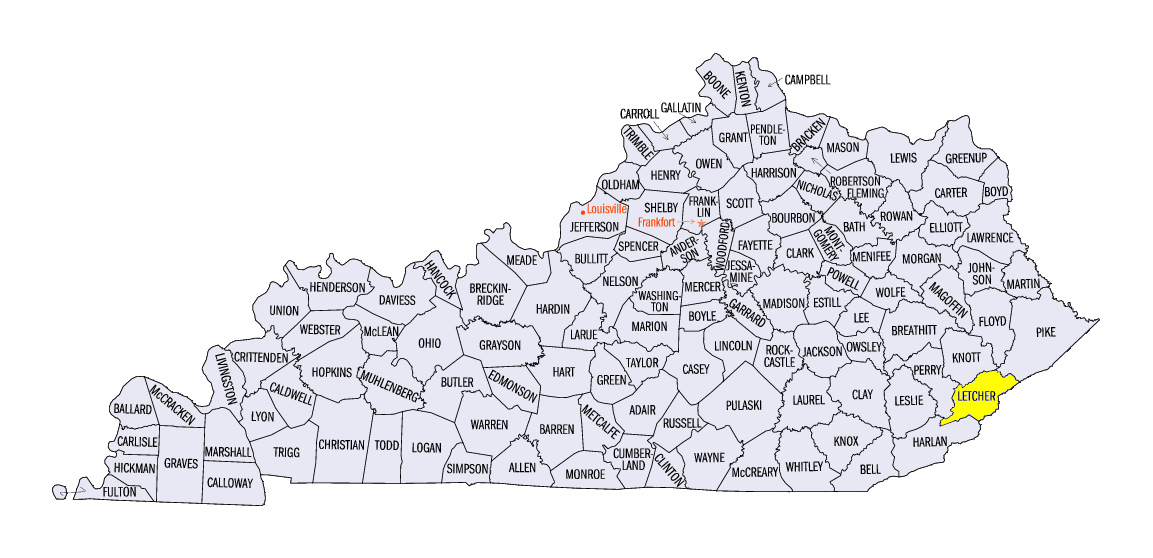
Wet weather was widespread across the Midwest as several storm systems brought precipitation
(Figure 3). Most of the region received more than half an inch of precipitation, with many areas receiving more than an inch. Southern Kentucky had more than three inches for the period. One of the heaviest amounts reported was a total of 4.18 inches near Skyline, KY (Letcher County). Moderate to heavy rain fell throughout the period, with the heaviest amounts falling through the mornings of March 24 (Figure 4), March 26
(Figure 5) and March 31 (Figure 6). Most of southern Kentucky, northeastern Minnesota and northwestern Wisconsin recorded more than twice the normal amount for the period
(Figure 7), with most of Iowa reporting 150 percent or more of normal. More than 100 daily precipitation records were broken across the Midwest during the period (Figure 8).
Southern Severe Weather
While a major tornado outbreak was impacting the Deep South, strong storms brought severe weather to Kentucky, southern Illinois and Indiana
(Figure 9). Most of these storms occurred on March 25 and March 27. Several EF-0 and EF-1 tornadoes were reported in central Kentucky on March 25. Strong winds and hail were also reported. More storms were reported in Illinois and Indiana on March 27, with mostly strong winds and hail. An EF-1 tornado was also reported in southern Illinois.
Dryness Throughout the Upper Midwest
Drought and abnormal dryness covered more than 45 percent of the Midwest as of the March 30 U.S. Drought Monitor (Figure 10). Most of Minnesota, Wisconsin and Michigan were either abnormally dry or in drought. Areas of moderate drought were observed across southern Lower Michigan, northern Ohio, northwestern Minnesota and northwestern Minnesota. While some improvement had been reported during the period, long-term drought indices kept areas in northwestern Iowa deep in severe and extreme drought.
-BJP-