February 8-14, 2021
Midwest Weekly Highlights - February 8-14, 2021
Exceptional Cold Sets In
Winter chill quickly set in during the period as exceptionally cold temperatures invaded the region (Figure 1). A very cold air mass that impacted most of the U.S. brought temperatures as much as 25°F below normal to Iowa, northern Missouri and Minnesota. Most of Illinois, Wisconsin and southern Missouri were also 17-20°F below normal. While some areas of the Ohio River Valley were within a few degrees of normal, most of Indiana, Michigan and western Ohio were 8-12°F below normal.
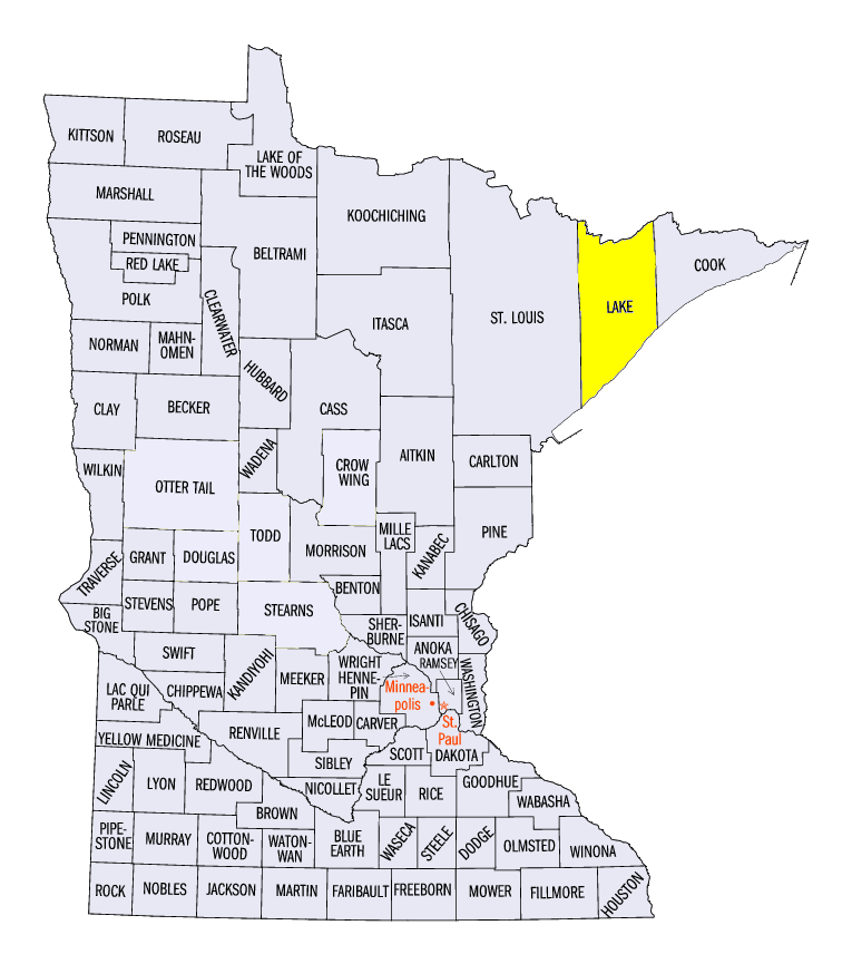
Minimum temperatures in northern Minnesota and northern Wisconsin averaged colder than -20°F (Figure 2). Some areas in extreme northern Minnesota averaged below -30°F. A total of 21 stations in Minnesota recorded a temperature of -40°F or below, with the coldest temperature recorded near Ely (Lake County) at -50°F. This was 10°F warmer than the record of -60°F for the state. Eleven stations in Wisconsin recorded a temperature of -30°F or colder. The harshest of the cold occurred on the mornings of February 12 (Figure 3), February 13 (Figure 4) and February 14 (Figure 5) in these areas. More than 150 of the 200 minimum temperature records broken during the period (Figure 6) occurred from February 13-14.
Most of the record-breaking cold during the period came from exceptionally suppressed maximum temperatures
(Figure 7). Almost all of Iowa, Minnesota and Missouri were 25°F or more below normal for the week. More than 100 daily low maximum temperatures were broken during four of the seven days in the period, with more than 200 broken on February 13 (Figure 8) and February 14
(Figure 9). Maximum temperatures on these two days were mostly in the single digits above or below zero in Iowa, western Wisconsin and Minnesota (Figure 10)
(Figure 11). Most of Minnesota averaged below-zero maximum temperatures for the full week (Figure 12). Compared to maximum temperatures during the same period in January
(Figure 13), temperatures were more than 30°F colder in most of Minnesota. Wind chills were also dangerously cold throughout the region. Most of Minnesota, Iowa and Wisconsin had wind chills in the -30s and -20s on February 12 (Figure 14), February 13
(Figure 15) and February 14 (Figure 16).
Limited Precipitation
Precipitation amounts were very low across most of the Midwest during the week
(Figure 17). Snowfall in the central Midwest led to most of this precipitation, with some mixed rainfall in Kentucky. Amounts up to an inch were recorded in eastern Kentucky. Amounts in extreme west-central Iowa and theeastern U.P. of Michigan were also wetter than normal, with amounts up to twice the normal amount (Figure 18). However, a large portion of the region received less than half the normal amount.
Moderate Snowfall
Snowfall amounts of 4-6 inches were common from southern Iowa through northern Illinois, western Lower Michigan and the northern Ohio River Valley
(Figure 19). The heaviest snow in the central Midwest fell through the mornings of February 8 (Figure 20) and February 9 (Figure 21). A narrow band from southern Indiana through southern Ohio brought amounts of 4-6 inches, with isolated amounts over 8 inches in southwestern Ohio on February 9. Light snowfall continued throughout the period in these areas. Lake-effect snowfall impacted Michigan through the morning of February 14 (Figure 22). The heaviest snow fell in the eastern U.P. of Michigan, where amounts over 12 inches were recorded. Areas where moderate snow fell received more than twice the normal amount (Figure 23), with areas in the Ohio River Valley receiving upwards of five times the normal amount in some cases.
-BJP-