February 15-21, 2021
Midwest Weekly Highlights - February 15-21, 2021
Exceptional Cold Continues
Temperatures remained well below normal across the Midwest for the second straight week
(Figure 1). Temperatures departures were 10-15°F below normal in the eastern third of the region, while temperatures 17-24°F below normal were common across Illinois, Missouri Iowa and southern Minnesota. Some areas of southwestern Missouri averaged more than 25°F below normal for the period. While maximum temperatures were very cold (Figure 2), minimum temperatures were the coldest during this week
(Figure 3). Most of Missouri, southern Illinois, Iowa and isolated areas in Minnesota and Wisconsin were more than 25°F below normal. Some of the coldest temperatures during the week occurred on the morning of February 15 in northern Minnesota, with some areas below -40°F (Figure 4). However, the widest extent of extreme cold came on the morning of February 17
(Figure 5), where most of Minnesota, Wisconsin, Iowa and western Missouri were in the -10s. An exceptional number of more than 1160 daily records were broken during the period (Figure 6), with more than 600 low maximum records. Most of these records occurred in Missouri, Iowa, Wisconsin, Minnesota and Illinois through the mornings of February 15
(Figure 7), February 16 (Figure 8) and February 17
(Figure 9).
Precipitation Limited
Snowstorms in the southern Midwest brought most of the precipitation for the region during the week (Figure 10). Amounts over a half inch were recorded in the Ohio River Valley, with most of Kentucky receiving an inch of liquid precipitation. However, most of these areas received around the normal amount of precipitation for the week
(Figure 11). In the Upper Midwest, conditions were much drier, with most of Iowa, Wisconsin and Minnesota receiving less than half the normal amount for the week.
Major Snowstorms February 15-18
Two quick-moving snowstorms in the southern Midwest dumped moderate to heavy snow from February 15-18 (Figure 12). Extremely cold temperatures, lower water content in the snow, and high winds led to blowing and drifting of snow throughout the southern half of the region, leading to whiteout conditions. The first storm began through the morning of February 15 (Figure 13). Moderate snow fell throughout portions of Missouri, Illinois, southern Lower Michigan and the Ohio River Valley. Some areas in southwestern Missouri received more than four inches. The main event was during the day on February 15 through the morning of February 16 (Figure 14). More than six inches of snow fell from southern Illinois through southern Lower Michigan. Heavier amounts over eight inches were widespread in most of these areas as well. Lake-enhanced snowfall in the Chicagoland area led to amounts that were over a foot. Snow drifts from strong winds were reported to reach heights of over 4 feet. While a brief reprieve from heavy snow occurred through the morning of February 17 (Figure 15), a second system moved through the Ohio River Valley through the morning of February 18 (Figure 16). The heaviest amounts from this storm were in Kentucky, with some higher elevation areas receiving more than six inches.
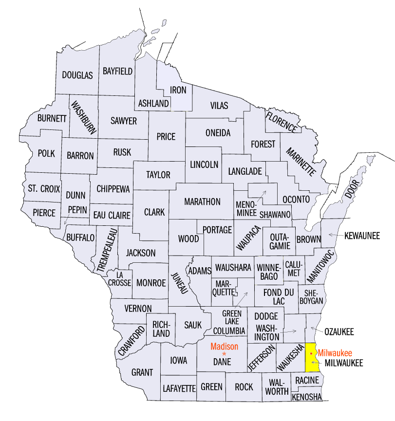
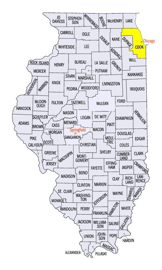
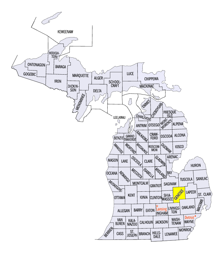
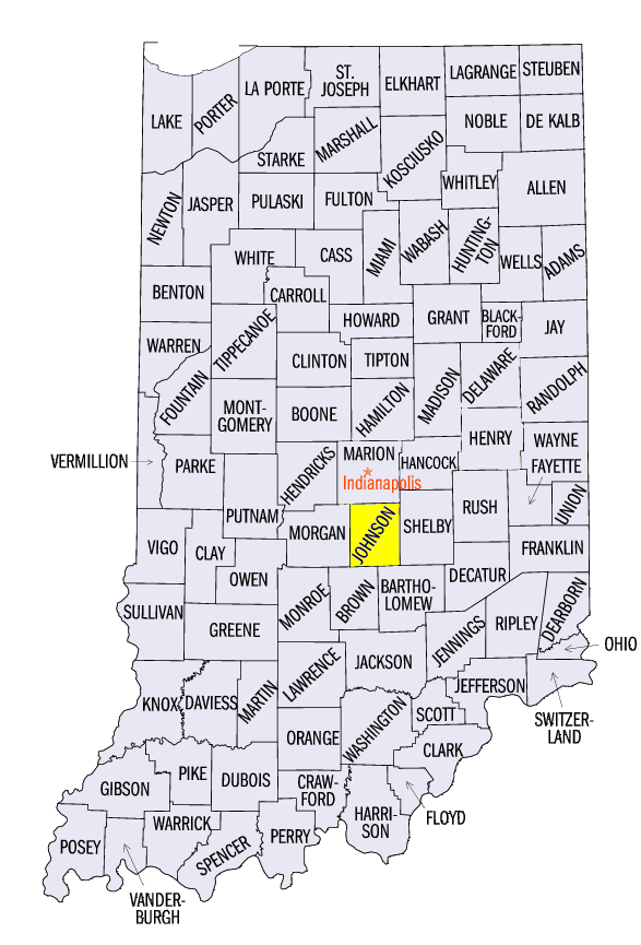
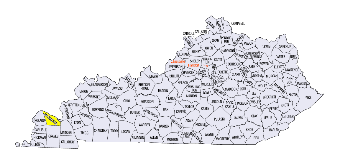
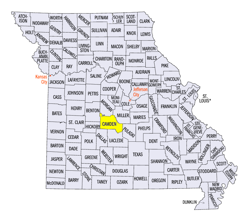
Overall, snowfall amounts of 6-12 inches were common from southern Missouri through the northern Ohio River Valley and southern Lower Michigan. Some of the heaviest amounts for states around the region included 17.0 inches near South Milwaukee, WI (Milwaukee County), 18.4 inches at the Chicago-Midway Airport (Cook County), 16.7 inches near Burton, MI (Genesee County), 22.8 inches near Franklin, IN (Johnson County), 16.1 inches at the Toledo, OH Express Airport (Lucas County), 11.0 inches at the Paducah, KY Airport (McCracken County), and 12.7 inches at Ozark Beach, MO (Camden County). A total of more than 200 daily snowfall records were broken during the full week
(Figure 17), with most from February 15-18.
-BJP-