August 1-7, 2015
Midwest Weekly Highlights - August 1-7, 2015
Cool Start to August
Below normal temperatures were common across the Midwest for the first week of August. Average temperatures were coolest in the far northern tier of the region, where temperatures averaged between 60-65°F
(Figure 1). This was 4-7°F below normal for the period (Figure 2). Temperatures were only slightly below normal in Iowa, southern Wisconsin and northern Illinois, while most of Missouri remained near normal. Southern Michigan, Indiana and Ohio all experienced temperatures up to 3°F below normal.
Still Wet for Most
Above normal precipitation fell across a majority of the Midwest to start the month of August. Rainfall amounts of 1-2 inches were common across Missouri, southern Illinois, Indiana and Kentucky
(Figure 3). Storms in Minnesota and Lower Michigan also dumped over an inch of rain over these locations. Many of these areas had more than twice the normal amount of precipitation for the period (Figure 4). Drier pockets of little to no precipitation were found in eastern and northern Iowa as well as southwest Wisconsin and northwest Illinois. These areas were as much as an inch below normal for the period
(Figure 5).
August 2-3 Severe Storms
A significant line of thunderstorms moved through Wisconsin, northwest Illinois and southwest Michigan on August 2-3, causing heavy storm damage along the Lake Michigan corridor (Figure 6). Two rounds of storms occurred, with the first forming over northern Wisconsin during the morning hours on August 2. Two to three inch hail fell in the northwestern part of the state before the storms moved into the Green Bay area. While the line of storms in the Green Bay area was intensifying, a single cell thunderstorm moved through the Chicagoland area where the Lollapalooza music festival was briefly evacuated due to severe storms moving into downtown Chicago. A festival in Wood Dale, IL turned tragic as a tent was uprooted from this single storm, injuring many and leading to the loss of a life. The line of storms to the north gained steam as it crossed Lake Michigan in the mid-afternoon, and the Sleeping Bear Dunes National Lakeshore was hit hard as storms moved through that area. Hundreds of trees were toppled as people were forced to evacuate the area. The line of storms continued to march across northern Lower Michigan during the rest of the afternoon while storms continued to fire in eastern Wisconsin. The line of storms began to reach the Wisconsin-Illinois border and southern Michigan by sunset. An EF-1 tornado was surveyed in Grayslake in Lake County, IL just after sunset. These storms marched into Indiana and Ohio after midnight before losing steam on the morning of August 3. The evolution of this line of storms was captured on satellite, and was well illuminated by full moon on the Suomi NPP satellite.
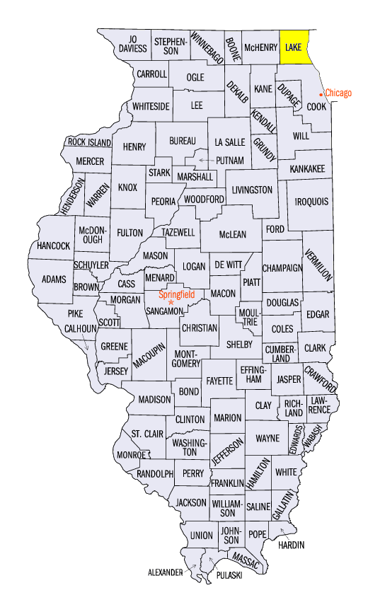
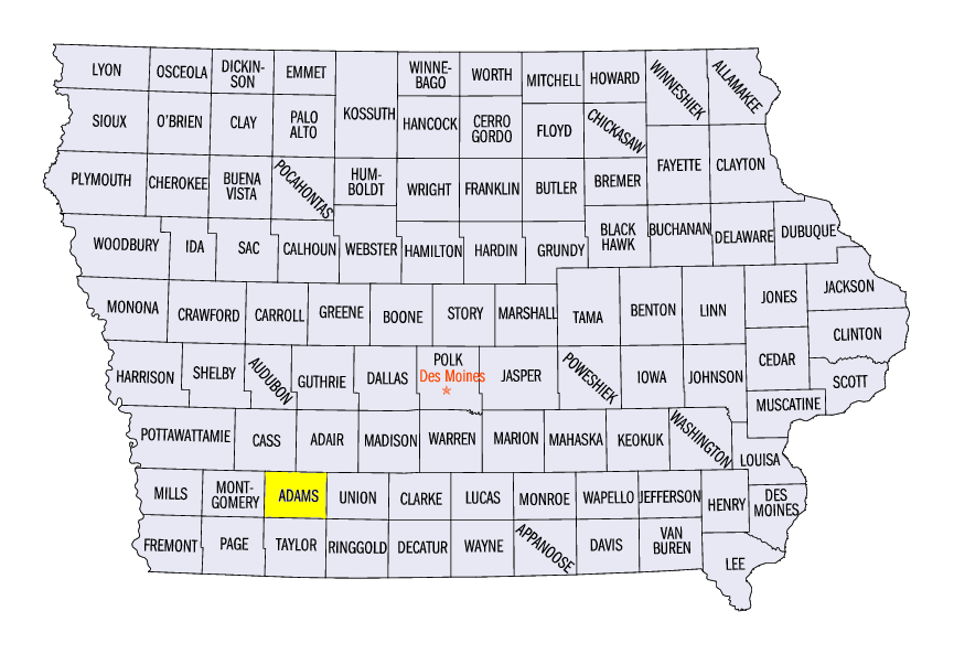
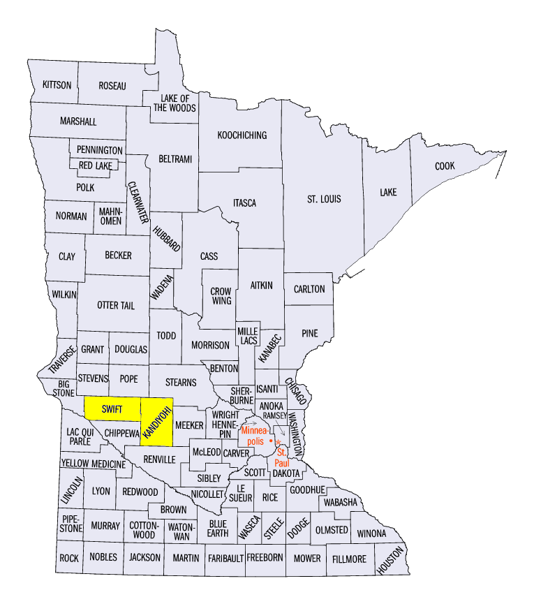
A few other storm reports were seen in Iowa and northern Missouri on August 2, where torandoes were reported in Adams County, IA. A single cell storm in Minnesota also dropped 2 inch and larger hail that day. A storm moved through the Cincinnati area in the afternoon and evening of August 3, leaving more hail and wind damage. Only a few other storm reports were seen in the region during the rest of the week, but a few tornado reports were found in Swift and Kandiyohi Counties in Minnesota on August 6.
Flooding Finally Nearing End
After a two month long flood event along the Illinois River, river gauges have almost completely receded back to normal. Only two gauges were still in flood stage along the river on August 7 at Havana and Beardstown (Figure 7). All other gauges along the river are either in normal or action stage along the river.
In all, flooding along the Illinois River over the summer brought top five crests to 6 of the 13 gauges that report crests along the river. Five of these crests were top two events, all occurring south of Peoria on either July 1 or 2. The 34.66 feet crest at LaGrange Lock and Dam and the 28.83 feet crest at Meredosia broke crest records, with the old Meredosia record dating back to May 1943. The summer of 2015 will long be remembered as one of the most significant flood events in the recorded history of the Illinois River.
Abnormally Dry Conditions Added in Wisconsin
While the story of the summer so far has been very wet conditions, dry conditions have been in place over a good chunk of Wisconsin (Figure 8). In the latest drought monitor from the National Drought Mitigation Center, abnormally dry conditions were added into central and southwest portions of the state due to these dry conditions
(Figure 9). Departures of over an inch below normal have been seen in these areas, leading to the abnormally dry classification. Drought conditions continue to evade the Midwest however, as the last week where drought conditions were depicted in the region was the week of June 23 (Figure 10).
Crop Conditions Update
Crop conditions continue to be poor to very poor across 15-25 percent of Missouri through Ohio as wet conditions caused crop damage and losses in both soybeans (Figure 11) and corn (Figure 12). Less than 50 percent of the corn crop (Figure 13) and the soybean crop (Figure 14) was rated good to excellent in Indiana and Ohio. Illinois and Missouri were not faring much better. However, growing season conditions were great in the upper Midwest, where around 80% of the soybean crop is rated good to excellent. Minnesota corn was faring even better, with 87% of the crop rated good to excellent. Kentucky has also had a very good growing season to this point, with 82 percent of the corn crop rated good to excellent.
-BJP-