May 8-14, 2015
Midwest Weekly Highlights - May 8-14, 2015
Warm East, Cool West
A stark contrast in temperatures was seen this week across the Midwest. Average temperatures in Minnesota, Iowa and Wisconsin were below normal this week while the rest of the region was mainly above normal
(Figure 1). Minnesota was the coldest state, with the northwest corner seeing temperatures more than 10°F below normal. Most of Wisconsin stayed slightly below normal while Iowa was mostly 2-6°F below normal. Ohio was the hottest state where 5-10°F above normal temperatures were common. Eastern parts of Kentucky and Indiana were also quite warm at 4-8°F above normal.
Much Needed Rain for Minnesota
After severe drought was added to the drought monitor for Minnesota two weeks ago (Figure 2), much-needed precipitation fell on the state this week (Figure 3). Western Minnesota received up to two inches of rain, which is more than an inch above normal for the period (Figure 4). Most of the state saw more than one inch of precipitation with only southern and far northwestern parts of the state receiving less than an inch this week.
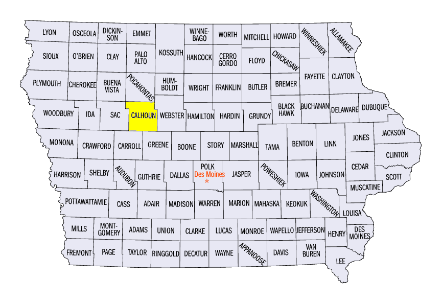
Just to the south in Iowa, drier conditions were in place. Most of the state received below normal precipitation for the period with the central and eastern parts of the state receiving precipitation around a half inch below normal (Figure 5). Kentucky was also quite dry this week, with departures of over a half inch of precipitation common across the commonwealth (Figure 6).
As for the rest of the Midwest, wet conditions prevailed across Missouri, Illinois and Michigan
(Figure 7), while slightly below normal precipitation fell across Ohio and Indiana (Figure 8). Most of Wisconsin was near normal for the week, with the far northwestern part of the state receiving precipitation amounts of more than a half inch above normal.
Severe Winds Blow
A potent storm affected much of the US this week as snow fell in the Rocky Mountains and northwestern Plains, and severe storms impacted the southern Plains for an agonizing three-day period. On Mother’s Day, May 10, this storm moved into the Midwest resulting in damage across the region (Figure 9). Wind damage to southern Illinois and southeastern Missouri occurred along the cold front on May 10. Near the center of the low, the environment was much more conducive for tornadoes. A confirmed EF-1 tornado moved through Lake City and Rockwell City, IA in Calhoun County around 7 p.m. CDT Sunday night. Fortunately, no injuries were reported.
The next day, May 11, the system shifted east, bringing high winds across eastern parts of Indiana and Kentucky as well as most of Ohio. A majority of the 274 wind reports on May 11 were in these three states (Figure 10). Trees were uprooted and power lines were downed as winds from 50-70 mph moved along the storm’s cold front. Northeastern Ohio and far northwest Pennsylvania were hit particularly hard as mobile homes sustained major damage.
Drought Only Slightly Improves
While above normal precipitation was common in Minnesota this week, few areas classified as in drought improved across the state. The latest drought monitor from the National Drought Mitigation Center has decreased a small portion of severe drought and moderate drought in parts of western Minnesota (Figure 11). Drought was also alleviated in far southwestern Minnesota and extreme northwestern Iowa. Moderate drought held the status quo in northern Wisconsin. While only a tiny sliver of the far northwest part of the U.P. of Michigan is under moderate drought, more than 80% of the state is now abnormally dry compared to just over 60% last week.
-BJP-