August 1-7, 2016
Midwest Weekly Highlights - August 1-7, 2016
Hot Start to August
Above-normal temperatures were common across the Midwest to start August
(Figure 1). Most of Minnesota, Wisconsin, Illinois, Indiana, Kentucky and southern Missouri were 1-3°F above normal. Average temperatures were slightly warmer across Michigan and Ohio at 3-5°F above normal. Most of Iowa and northern Missouri were near normal, with a few areas slightly below normal. Very warm minimum temperatures played a major role in the above-normal average temperatures. Over 30 daily high-minimum temperature records were broken during the period, with many of those occurring through the mornings of August 4 (Figure 2) and August 5
(Figure 3).
Dry Great Lakes, Wet in Missouri, Kentucky
Dry weather continued in areas needing rain the most (Figure 4). Areas near the Great Lakes in Michigan, Indiana and Ohio were very dry during the period, receiving less than half the normal amount
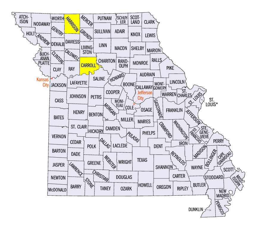
(Figure 5). A large portion of Lower Michigan and northwest Indiana received no precipitation. The lack of rainfall contributed to moderate drought expansion across northern Ohio (Figure 6). Much wetter conditions were common across Kentucky and Missouri. Two to four inches of rain fell across Kentucky while four to six inches fell across Missouri. Isolated higher amounts were also recorded, including 9.08 inches at Bethany, MO (Harrison County) and 7.57 inches at Carrollton, MO (Carroll County). Most of the extreme precipitation in Missouri fell during a two-day period through the mornings of August 1
(Figure 7) and August 2 (Figure 8), where some areas received over five inches.
August 3-4 Severe Weather
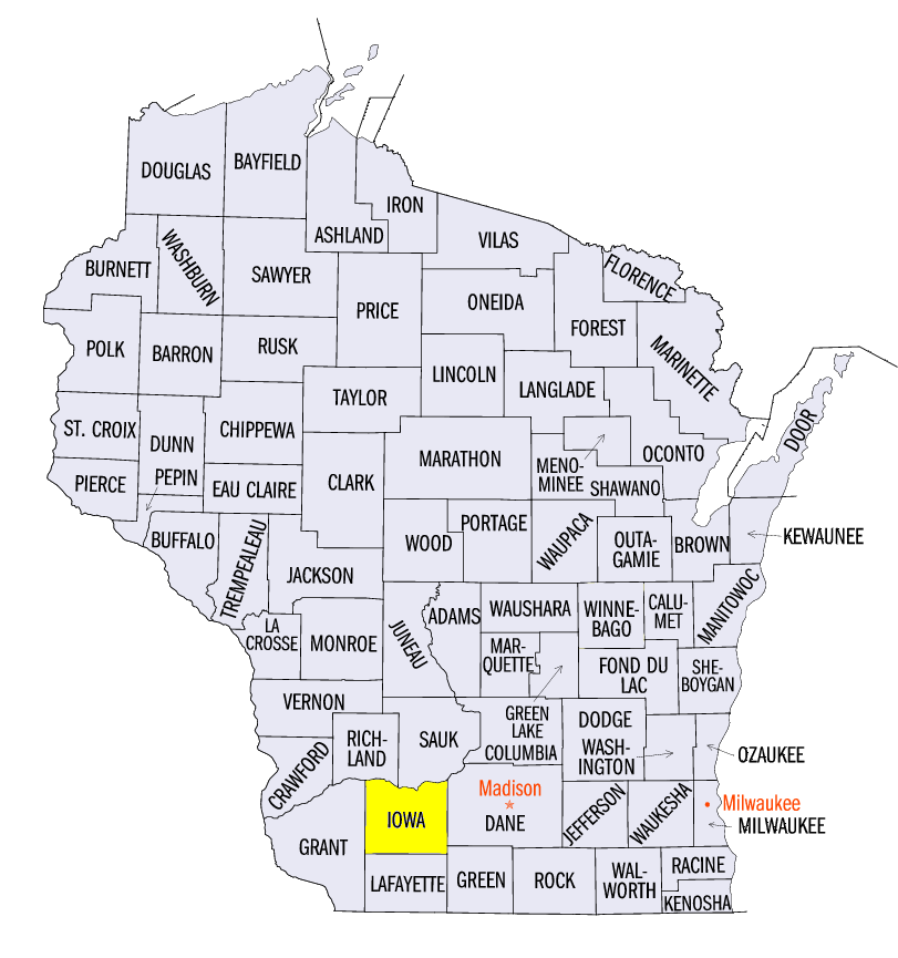
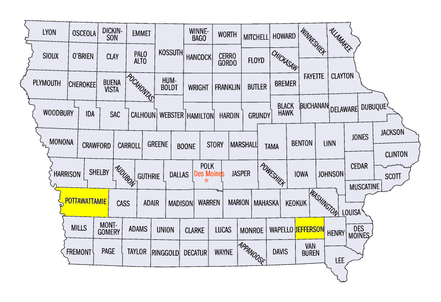
A storm system on August 3-4 caused heavy rain and wind damage across Minnesota, eastern Iowa and Wisconsin (Figure 9). A line of thunderstorms formed in northern Minnesota on August 3. Wind damage was common, with a 78 mph wind gust reported at the Brainerd, MN airport. A strong line of thunderstorms formed over Iowa and Wisconsin on August 4, causing heavy rain and wind damage. Wind gusts up to 60 mph were common across eastern Iowa into southwest Wisconsin. Power poles were downed and a barn was destroyed in Iowa County, WI. Flash flooding was also common. Fairfield, IA (Jefferson County) received 3.05 inches from the storm. Further west, a very thin rope tornado was reported in Pottawattamie County, IA. No damage occurred from the weak tornado.
Crop Conditions Worsen in Ohio
A continuing drought in Ohio has degraded crop conditions once again according to USDA’s NASS. In the August 7 Crop Progress Report, only 47 percent of Ohio’s corn crop was rated good or excellent. Corn crop conditions have steadily dropped in the state from the 70 percent good or excellent reported on July 10 (Figure 10). Michigan’s corn crop is in similar condition as only 54 percent of the crop was either good or excellent as of August 7. However, the rest of the region was faring much better. More than 70 percent good or excellent corn (Figure 11) and soybeans (Figure 12) crop conditions were found in the remaining seven states in the Midwest region.
-BJP-