April 15-21, 2016
Midwest Weekly Highlights - April 15-21, 2016
Dry For Most
Below-normal precipitation was common across most of the region
(Figure 1). Only a few areas in the far western reaches of the region were above normal, where 1-2 inches of precipitation fell (Figure 2). This heavy precipitation came from the far eastern edge of a storm that brought upwards of 5 inches to parts of Nebraska and Kansas. These western areas of the Midwest had more than twice the normal amount of precipitation for the period, while a majority of the region had less than half the normal amount
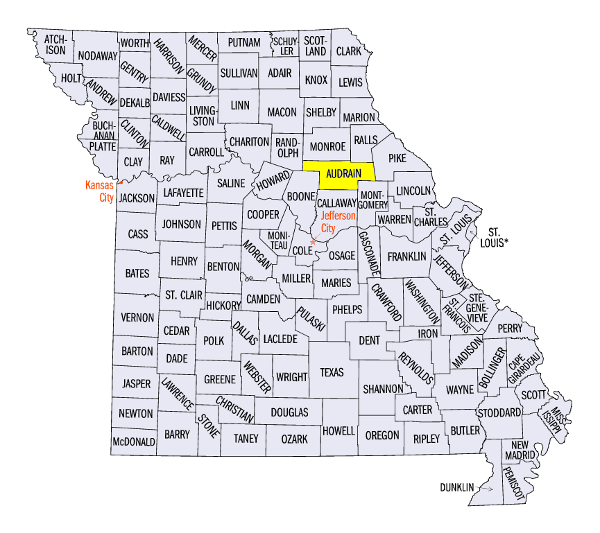
(Figure 3). Fewer storms in the region also led to only a few severe weather reports (Figure 4). A weak tornado was reported Audrain County, MO on April 19, and two hail reports in Illinois and one wind report in Indiana occurred on April 21.
Spring Warmth
After a cold first half of April, above-normal temperatures were common across the entire Midwest
(Figure 5). Temperatures in Minnesota and Wisconsin were 8-12°F above normal, with a few areas up to 15°F above normal. Most of Iowa, Illinois, Indiana and Michigan were 8-10°F above normal. Maximum temperatures were even warmer across the Great Lakes and Ohio Valley (Figure 6). Temperatures reached the upper 70s and 80s across a majority of the region through the mornings of April 18
(Figure 7) and April 19 (Figure 8), causing a few stations to near-record high temperatures on these days.
Abnormally Dry Conditions Expand in Missouri, Kentucky
Continued dry weather in Missouri and Kentucky led to the expansion of abnormally dry conditions in the latest Drought Monitor of April 19
(Figure 9). Nearly 70% of Missouri was classified as either abnormally dry or in moderate drought. About 40% of Kentucky was rated abnormally dry, mainly in the eastern half of the state.
-BJP-