February 1-7, 2016
Midwest Weekly Highlights - February 1-7, 2016
Wet Week
Wet weather was common across the Midwest to start February, as most of the Great Lakes and Ohio Valley had above-normal precipitation for the period
(Figure 1). Precipitation values were the highest across Kentucky, where most of the state had more than 1.5 inches (Figure 2). Values above an inch were also common across Michigan, with totals above a half-inch common across Iowa, Wisconsin and northern Illinois. Most of the precipitation across Iowa, Wisconsin, southern Minnesota and the U.P. of Michigan fell as snow. There were a few dry pockets, however. Most of Missouri and southern Illinois received less than half the normal amount of precipitation for the period, while parts of northern Minnesota also had below normal precipitation
(Figure 3).
More Warm Weather
The warm weather that ended January continued into February with above-normal temperatures common across the entire region (Figure 4). Temperatures were 8-12 degrees above normal from Illinois through Ohio and in Lower Michigan. Northern Minnesota also experienced temperatures 8-12°F above normal. The coldest pockets were in Iowa, where temperatures were 3-6°F above normal.
The 2016 Groundhog Day Blizzard
Five years after a blizzard left a large swath of snow across the Midwest on Groundhog Day, another major storm moved through the Midwest on February 1-3, bringing heavy snow throughout the day on Groundhog Day, February 2. Heavy snow began to fall on February 1 across the High Plains before snow began to fall in western Iowa through the morning of February 2 (Figure 5). Heavy snow then fell across Iowa, southwest Minnesota and southern Wisconsin during the late morning to early afternoon hours, before the storm lost intensity over northern Wisconsin and Lake Superior. Snow totals of 6-12 inches were common across Iowa, southern Minnesota, Wisconsin and the U.P. of Michigan by the end of the storm on the morning of February 3 (Figure 6).
This storm produced more than just heavy snow, however. Strong winds and whiteout conditions were reported on February 1-2. Wind gusts in the 40-50 mph range were reported from western Wisconsin through western Iowa. Roads in northwest Iowa became impassable as plows were unable to keep up with blowing snow, while many roads in southern Minnesota were closed completely. Heavy rain and isolated thunderstorms also occurred during the storm, as northeast Illinois and central Michigan had upwards of an inch of precipitation. Parts of Kentucky, southern Indiana and southwest Ohio had as much as two inches of precipitation through the morning of February 3
(Figure 7).
20th Anniversary of Coldest Midwest Temperature on Record
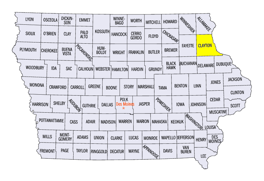
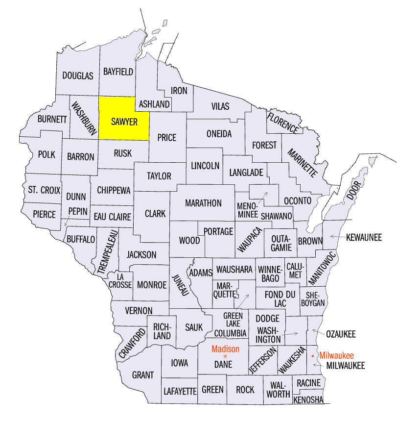
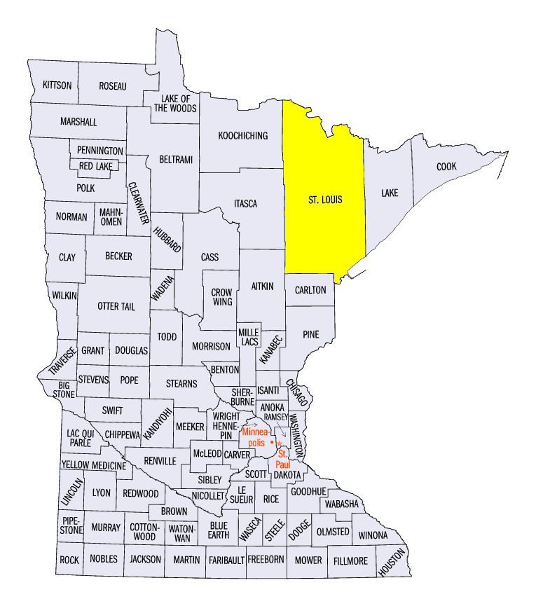
Twenty years ago, an intense arctic blast of cold air brought record cold temperatures to the upper Midwest on February 1-4, 1996 (Figure 8). State records in Iowa, Wisconsin and Minnesota for the coldest temperature recorded were set duing the event. A minimum temperature of -47°F at Elkader in Clayton County, IA tied a record set in 1912 on February 3, 1996. Wisconsin’s record cold temperature was recorded in Couderay in Sawyer County on both February 2, 1996 and February 4, 1996 at -55°F. The cold air outbreak also brought the coldest temperature ever recorded in the Midwest. A minimum temperature of -60°F was recorded 3 miles south of Tower, MN in St. Louis County. Summaries of this cold-air outbreak are available from the Minnesota Climate Office and NWS La Crosse, WI.
-BJP-