October 15-21, 2018
Midwest Weekly Highlights - October 15-21, 2018
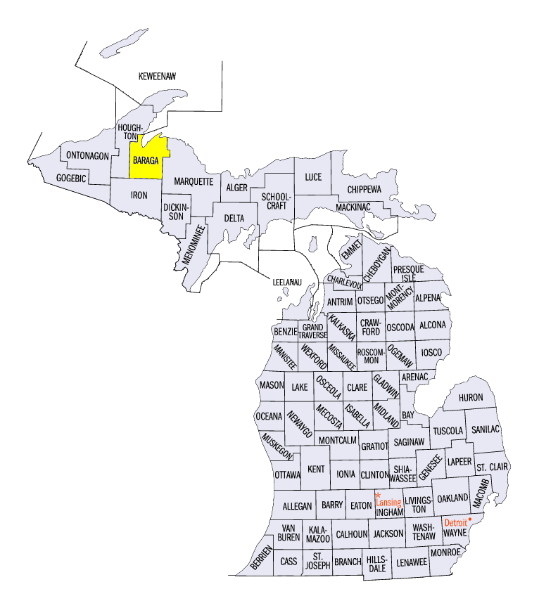
Drying Out
After many wet weeks, precipitation subsided across most of the Midwest during the period
(Figure 1). Most of the region had less than half an inch. Only southern Missouri and Kentucky were above normal, with some areas of southwestern Kentucky receiving heavy amounts more than three times the mean (Figure 2). Snowfall was common with the very cold temperatures in the Upper Midwest
(Figure 3). Lake-effect snow in the U.P. of Michigan was heavy at times, with 10 inches reported during the period in Herman (Baraga County). Amounts of up to an inch were also reported in Wisconsin, Iowa and Minnesota.
Chilly
Temperatures were well below normal across the entire Midwest during the week (Figure 4). Some of the most below-normal areas were in Missouri, Illinois, Indiana and western Kentucky, where temperatures were 7-9°F below normal. While previous weeks had sharp contrasts between maximum and minimum temperatures, both maximum
(Figure 5) and minimum (Figure 6) temperatures were equally as cold during this period. Multiple mornings of freezing temperatures led to first freezes across the southern Midwest
(Figure 7), with some first 28°F freezes (Figure 8). More than 100 daily low maximum and minimum temperature records were broken or tied during the period
(Figure 9).
Mississippi River Flooding Slowly Recedes
With drier weather across the region, flooding along the Mississippi River and its tributaries receded during the week (Figure 10). Crests along the river reached moderate and major flood stage from the Quad Cities through St. Louis. The worst of the flooding occurred in southeastern Iowa, where the confluence of the Iowa and Cedar rivers increased flooding.
Drought Concerns Fading
Heavy rain in the weeks leading up to the October 16 U.S. Drought Monitor decreased drought coverage to less than one percent of the Midwest
(Figure 11). Only a few counties in central and southwestern Missouri were still considered to be in moderate drought. Abnormally dry conditions also decreased to less than seven percent of the region. Wisconsin, Indiana, Ohio and Kentucky were free of any abnormally dry conditions or drought. Since the height of the drought in August, drought conditions have significantly improved in the region, especially in Missouri (Figure 12).
Harvest Season Continues
The corn and soybean harvest continued across the Midwest, with drier weather helping more farmers get to their fields. However, significant delays remained with the soybean harvest in the Upper Midwest according to the NASS weekly crop progress reports for October 21
(Figure 13). Minnesota, Wisconsin and Iowa were all 25 percent or more behind the five-year average. Michigan, Ohio and Missouri were more than 10 percent behind. The corn for grain harvest was ahead of the five-year average in seven of the nine Midwest states, however (Figure 14). Missouri, Kentucky and Illinois were more than 80 percent complete.
-BJP-