October 8-14, 2018
Midwest Weekly Highlights - October 8-14, 2018
Contrasting Temperatures
Colder weather began to move in from the west during the week while warmer temperatures began to exit
(Figure 1). A strong difference in average temperatures was observed from west to east, with areas in northwestern Minnesota more than 10°F below normal, and eastern Ohio more than 6°F above normal. The contrast was accentuated by very cold maximum temperatures in the west (Figure 2), and very warm minimum temperatures in the east
(Figure 3). On the morning of October 9, minimum temperatures were in the 60s across the southern Midwest (Figure 4). Meanwhile, on October 11, maximum temperatures in Minnesota struggled to reach the 30s
(Figure 5). This sharp contrast led to hundreds of daily low maximum (Figure 6) and high minimum
(Figure 7) temperature records during the period.
Wet in the West
Heavy rain fell across areas of Iowa, Missouri, Wisconsin and the U.P. of Michigan during the period (Figure 8). Amounts of over two inches were common, with the U.P. of Michigan and northwestern Missouri receiving more than three inches. In most cases, this was 3-5 times the normal amount
(Figure 9). Some of the heaviest precipitation fell through the morning of October 8 in northwestern Missouri (Figure 10). Areas around Kansas City, MO had more than six inches of rain. The first major snowfall of the season also occurred in northern Minnesota through the morning of October 11
(Figure 11). Several areas received 4-6 inches of snow. Southwestern Minnesota also received several inches of snow through the morning of October 14 (Figure 12).
Major Flooding
One of the wettest late summers to early falls continued in the western Midwest during the week. With most of Iowa, Wisconsin and northern Missouri receiving more than thrice the normal amount of rainfall, Major Flooding continued along the Mississippi River and its tributaries
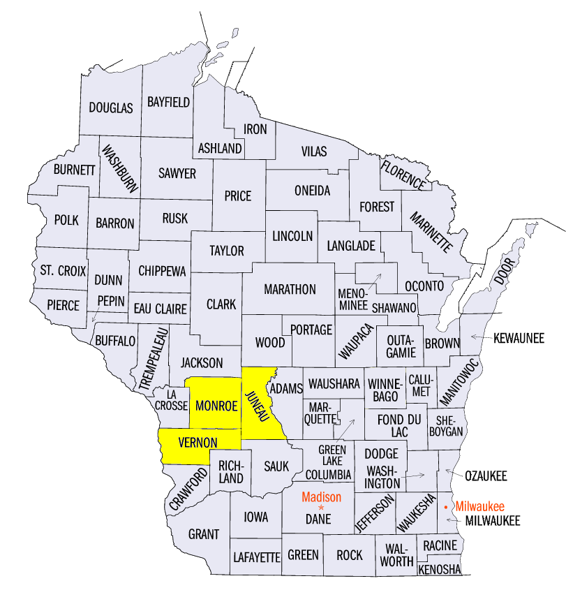
(Figure 13). More than half a dozen stream gauges from southeastern Iowa through St. Louis, MO on the Mississippi River were at Major Flood stage during the period. Many other gauges were reporting moderate and minor flooding. In the 2-month period from August 15-October 14, a large portion of southern Wisconsin and northeastern Iowa received more than 20 inches of precipitation (Figure 14). The long term average rainfall for these areas is 34-38 inches for the entire year. Some of the heaviest amounts in the 2-month period included 29.96 inches near Hillsboro, WI (Vernon County), 29.61 inches near Mauston, WI (Juneau County) and 28.48 inches near Cashton, WI (Monroe County). More recent rain in western Iowa and Missouri also contributed to the current flooding.
Drought Decreases
Heavy rain helped aid in decreasing drought coverage to under three percent of the Midwest according to the October 9 U.S. Drought Monitor
(Figure 15). Most of this relief was felt in Missouri, where drought coverage decreased by 30 percent, while Extreme and Exceptional Drought was eliminated from the state (Figure 16). Less than one percent of the state was still in Severe Drought. Michigan also saw improvement, as drought was eliminated from the state. Drought also significantly decreased in northwestern Minnesota.
October 8-9 Tornadoes
More than a dozen reports of tornadoes were reported in Iowa and northern Missouri on October 8-9
(Figure 17). Of these reports, none were stronger than EF-0. Many were for funnel clouds that had a brief touchdown. Scattered severe weather was also reported in Wisconsin on October 9.
Harvest Continues
The fall harvest continued across the Midwest. Less rainfall across the Ohio River Valley allowed farmers to head out to the fields. According to the October 15 NASS State Crop Progress Reports, Missouri, Illinois and Kentucky have more than 70 percent of corn for grain harvested. Conditions in the Upper Midwest were less than ideal, however. Heavy rain and first fall freezes hampered progress as Minnesota, Wisconsin and Iowa all had less than two days suitable for fieldwork.
First Fall Freezes Move South
Colder temperatures moved into Iowa, southern Wisconsin, northern Illinois, northern Missouri and Lower Michigan during the period, as these areas received their first fall freeze during the week (Figure 18). Many of these freezes occurred on the mornings of October 12
(Figure 19) and October 13 (Figure 20). For most of these areas, this freeze was slightly later than the median date (Figure 21). The first hard freeze at 28°F also occurred across most of Wisconsin and northern Iowa (Figure 22). In many cases, this was near the median date for these areas (Figure 23).
Squalls on Lake Superior
Extremely strong winds whipped up the waters of western Lake Superior on October 10 in a windy day across the Midwest (Figure 24). Waves as high as 20 feet were reported, with ships on the lake reporting wind gusts of more than 60 mph. A Canadian freighter recorded an 86 mph wind gust. In Duluth, MN (St. Louis County), water levels increased by nearly a foot as wind gusts of up to 50 mph were reported. Damage was reported along the lakeshore, while businesses along the lake also were forced to close due to flooding.
-BJP-