October 1-7, 2018
Midwest Weekly Highlights - October 1-7, 2018
Sharp Temperature Contrast
A boundary stretching across the Midwest during most of the week led to exceptionally warm temperatures in the Ohio Valley and cold temperatures in the Upper Midwest
(Figure 1). Average temperatures in the Ohio River Valley were 10-15°F above normal, while areas in western Minnesota were 6-9°F below normal. This contrast was exceptional in average maximum temperatures (Figure 2), where most of Minnesota was 10°F or more below normal, and the Ohio River Valley was 10°F or more above normal. An example of this contrast was evident on October 6
(Figure 3), when maximum temperatures were in the upper 30s in northwestern Minnesota while the Ohio River Valley was in the upper 80s to near 90°F. Minimum temperatures were exceptionally warm in the Ohio River Valley as well, with values as much as 15°F above normal (Figure 4). The sharp contrast led to hundreds of daily high temperature records
(Figure 5) and several dozen daily low temperature records (Figure 6).
Widespread Wet Weather
Storms followed a boundary stretching from northwestern Missouri through Michigan, dumping more than an inch of precipitation during the week
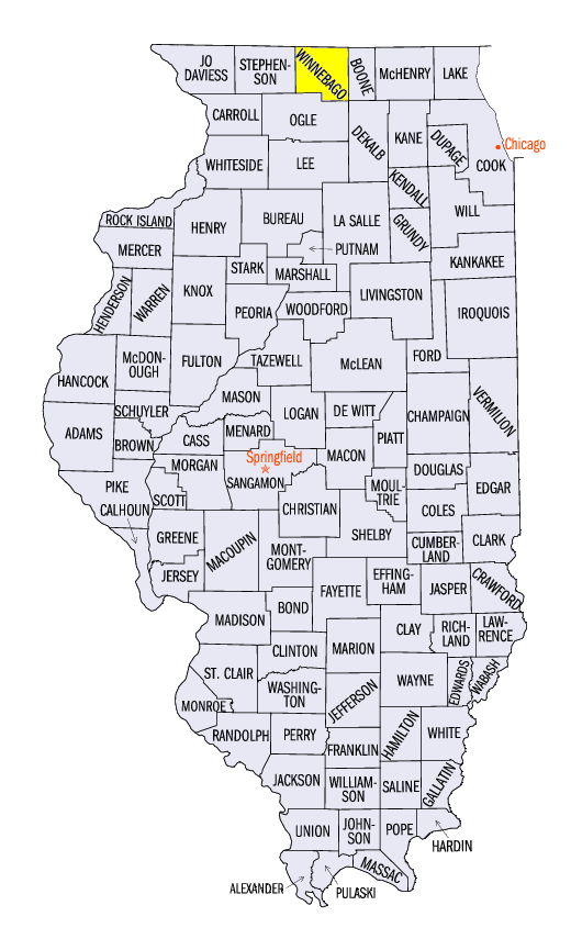
(Figure 7). In most cases, this was more than twice the normal amount (Figure 8). Parts of northwestern Missouri, northeastern Iowa, northern Illinois and southern Wisconsin had more than three inches. Some of the heaviest amounts included 6.44 inches near Lancaster, WI (Grant County), 5.69 inches in Rochester, WI (Racine County) and 5.30 inches near Roscoe, IL (Winnebago County). Scattered severe weather and several weak tornadoes were also reported in the stronger thunderstorms
(Figure 9). Nearly 200 daily precipitation records were broken during the period (Figure 10). The heavy rain also caused flooding along the axis of the heaviest rainfall.
More Flooding
Heavy rain in Iowa, Wisconsin and Missouri led to more flooding across the Midwest
(Figure 11). Major flooding was observed along the Iowa (Figure 12), Wapsipinicon
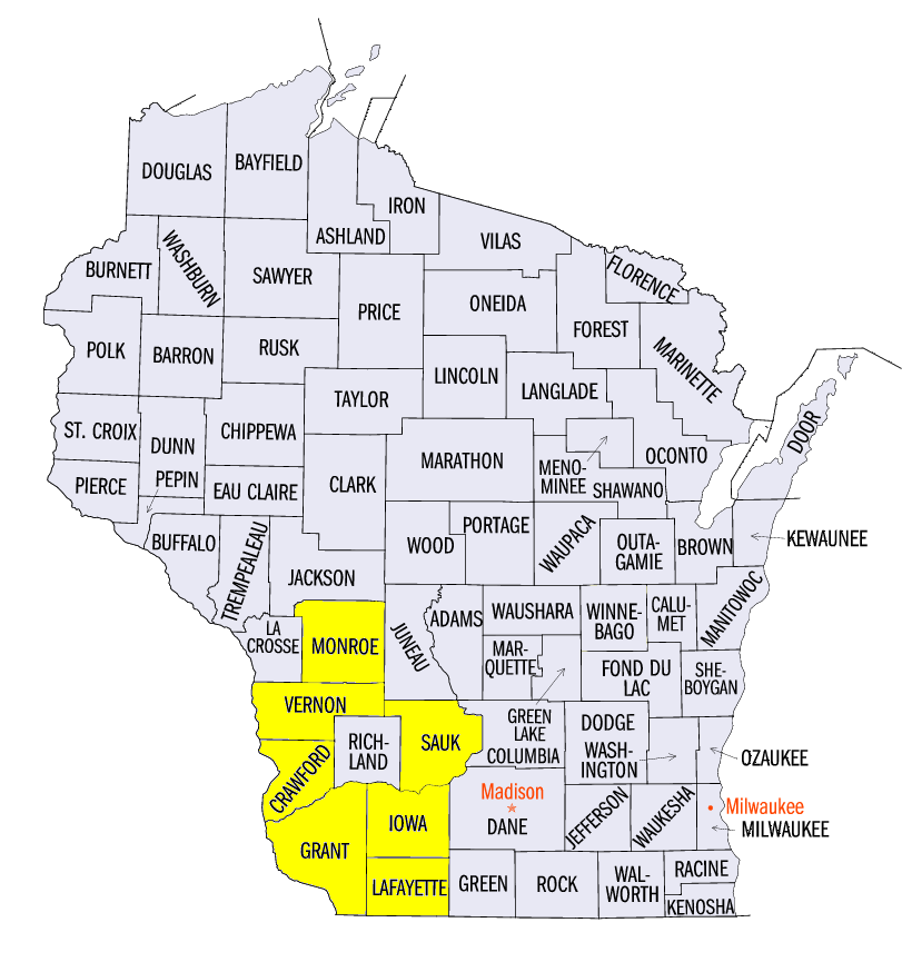
(Figure 13) and Mississippi (Figure 14) rivers, with water continuing to rise on the Mississippi River. Minor and moderate flooding was also observed on rivers in northwestern Missouri. Meanwhile, more rain in southwestern Wisconsin worsened the flooding situation further. A dozen stations in Vernon, Monroe, Grant, Lafayette, Iowa, Crawford and Sauk counties in southwestern Wisconsin have recorded more than 20 inches of rainfall since August 15.
-BJP-