October 2018
Monthly Overview - October 2018
Wet in Northwest
October precipitation averaged 3.97 inches across the Midwest
(Figure 1). This was 132 percent of normal and ranked as the 12th wettest October in the 124 year record (1895-2018). Wisconsin ranked 4th while both Iowa and Michigan ranked 7th wettest with Minnesota and Missouri also ranking in the teens. Three states (Indiana, Kentucky, and Ohio) had below normal precipitation. Reported as a percentage of normal, statewide values ranged from Indiana at 86 percent to Wisconsin at 182 percent Some areas from southern Illinois to southwestern Ohio received less than half of normal precipitation while the wetter areas from northwestern Missouri and southwestern Iowa to Upper Michigan had more than twice their normal rainfall (Figure 2). Much of the rain that fell across northern Missouri, Iowa, southeastern Minnesota, Wisconsin, and Upper Michigan fell in the first half of the month.
First Cold October Since 2012
October temperatures were also mixed with the regionwide average at 49.9° F which was 1.2° F below normal
(Figure 3). Five states were below normal while the other four states were above normal. Statewide values ranged from 3.9° F below normal in Minnesota to 1.3° F above normal in Ohio. Temperatures in the first half of the month showed a strong contrast with cold in the northwestern half of the region and warmth in the southeastern half. The latter half of the month was cool across most of the region. The last October in the Midwest that averaged below normal was in 2012.
Impacts from Heavy Rains
The heavy rains brought major flooding to the Upper Mississippi River and its tributaries in October leading to very high streamflows (Figure 4). Farm fields in the northwestern half of the Midwest were wet, with some having standing water, which significantly delayed harvest in those areas. On the other hand, drought areas continued to show improvement due to the October rains with the Midwest becoming less and less affected over the course of the month. From October 2nd to October 30th
(Figure 5), drought dropped off from over 8% of the region scattered across four states to just 0.14% in one pocket of central Missouri.
Limited Severe Weather
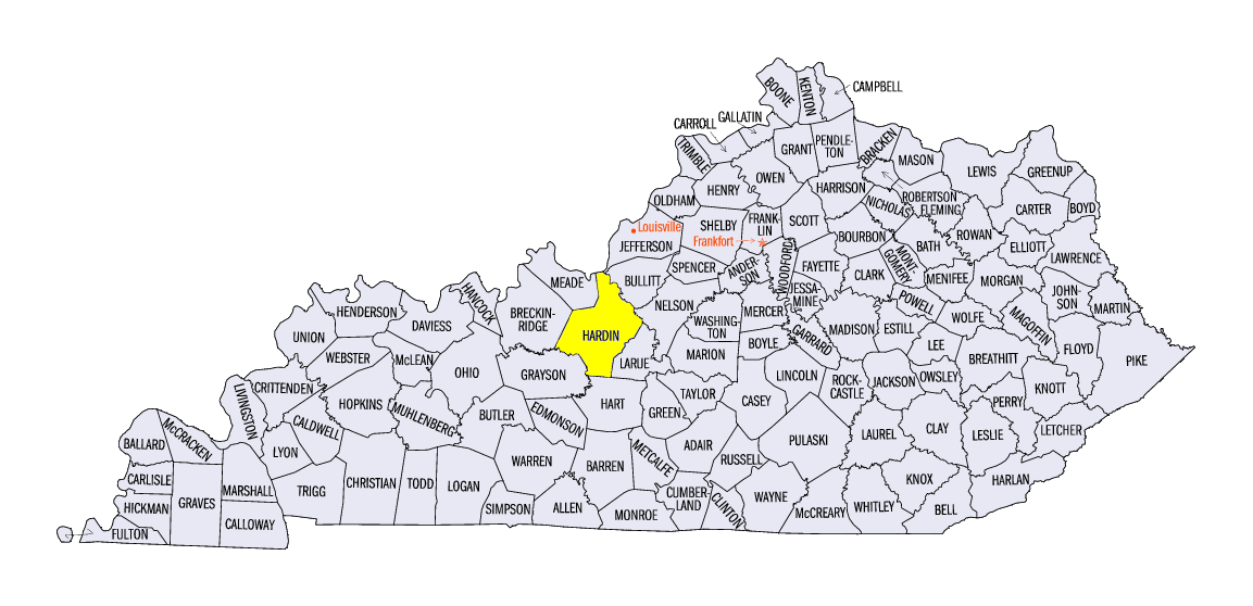
Severe weather was reported on 10 days in October with most of the reports coming in the first 9 days of the month. Six of the first nine days in October had up to 30 reports of severe weather. From the 10th to the 31st there were only four days with reports and fewer than a dozen on each of those days. Six days had tornado reports with Iowa having the most reports, largely from the 9th (Figure 6), along with a handful of reports from Missouri. A tornado on the 31st in Kentucky damaged outbuildings near Rineyville, Kentucky
(Hardin County).
First Freezes
The first freeze of the fall spread across much of the southeastern third of the region in the final 10 days of October
(Figure 7). Some stations still had not reached freezing and many had yet to have a killing frost of 28° F. The timing of the freeze was near normal.
-MST-