September 24-30, 2018
Midwest Weekly Highlights - September 24-30, 2018
Ohio River Valley Rain
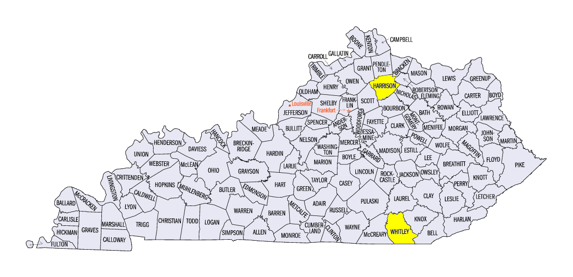
A stationary boundary dumped moderate to heavy rain over the Ohio River Valley during the week
(Figure 1). Most of this rain fell on September 24-28 (Figure 2). Daily rainfall amounts of over an inch were common on each of those days, with isolated amounts of more than two inches. Some of the heaviest amounts for the week were in Kentucky, including 6.63 inches in Cynthiana (Harrison County) and 6.16 inches near Williamsburg (Whitley County). Weekly totals were two to five times the normal amount in the Ohio River Valley
(Figure 3). Meanwhile, moderate amounts of rain fell across Iowa and southern Wisconsin. Flooding in these areas continued during the week after significant flooding during the previous week (Figure 4). Missouri, northern Wisconsin and most of Minnesota were drier during the period, receiving less than half an inch in many cases.
Sharp Temperature Divide
Colder air began invading the Midwest during the week, leaving a strong temperature divide from the Upper Midwest to the Ohio River Valley
(Figure 5). Average temperatures in Iowa, Wisconsin and Michigan were 2-5°F above normal, with areas in northern Minnesota more than 7°F below normal. Meanwhile, the Ohio River Valley was 2-5°F above normal. The major contributor of cold weather in the upper Midwest was very cold maximum temperatures (Figure 6). Meanwhile, the heat in the Ohio River Valley was due to very warm minimum temperatures
(Figure 7). These extremes led to many daily low maximum (Figure 8) and high minimum
(Figure 9) temperature records.
First Fall Freezes
Many areas in the Upper Midwest had their first freeze of the fall season during the period (Figure 10). Cold air moved in during the day of September 28 ahead of a widespread freeze in Minnesota, Wisconsin and the U.P. of Michigan on the morning of September 29
(Figure 11). A hard freeze at 28°F was also observed in northern Minnesota and Wisconsin (Figure 12). The cold also continued through the morning of September 30
(Figure 13). Freeze warnings and frost advisories were put into effect ahead of the freeze.
Harvest Season
The harvest season was underway across the Midwest during September, with all nine Midwest states having corn maturity above the five-year average heading into the period (Figure 14). Soybeans were also ahead of maturity as leaves were dropping ahead of schedule
(Figure 15). While many states had just begun harvesting corn for grain, Missouri was at 68 percent harvested, Kentucky at 60 percent harvested, and Illinois at 48 percent harvested according to the September 30 USDA NASS Crop Progress Report. Soybeans were 35 percent harvested in Illinois, the highest percent of the nine states in the region.Some harvest delays were occurring in areas that had heavy rainfall during the month as soils had surplus moisture.
-BJP-