August 2018
Monthly Overview - August 2018
Mixed Precipitation
Precipitation in August was a mix of above and below normal rainfall
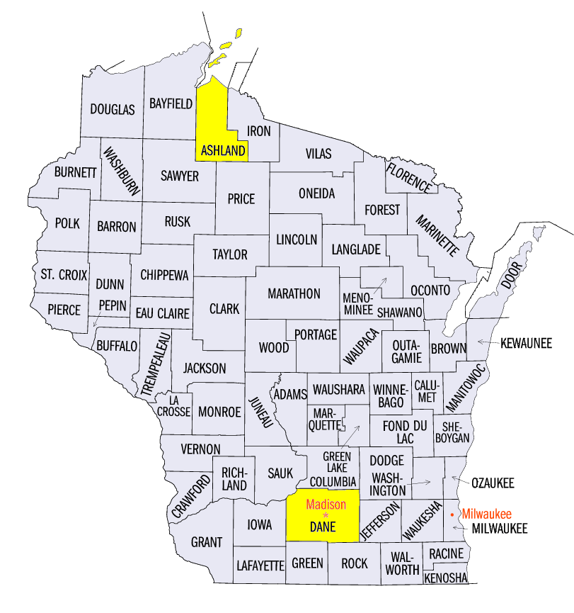
(Figure 1). All nine Midwest states had areas with both above and below normal totals. The driest areas in August were in north central Minnesota where less than half the normal rain fell. Other areas with less than 75% of normal were in Minnesota, eastern Upper Michigan, and near the confluence of the Ohio and Wabash rivers at the southwestern tip of Indiana (Figure 2). Pockets of rainfall more than two times normal were scattered across every Midwest state except Minnesota. Regionwide, rainfall was 133% of normal with statewide totals of 89% in Minnesota and above normal values in the other eight states. Totals ranged from 128% of normal in Michigan to 152% of normal in Missouri. Very heavy rains fell on the 20th and 21st just to the west of Madison, Wisconsin
(Dane County) with unofficial reports of 11 to 15 inches which would exceed the 24-hour record for the state
(Figure 3). The Wisconsin record was set on June 24, 1946 near Mellen, Wisconsin
(Ashland County) with 11.72 inches. Daily precipitation records were set over 500 times during August. Each state had at least 30 such records with 107 in Wisconsin, 95 in Iowa, and 88 in Illinois. Summer precipitation was also a mix of above and below normal values. Summer values ranged from just under 75% of normal to nearly twice normal (Figure 4).
Near to Slightly Above Normal Temperatures
August temperatures were near normal in the western and southern portions of the region and slightly above normal in the northeastern sections
(Figure 5). Temperatures averaged 2°F to 4°F above normal in much of Lower Michigan and the northeastern half of Ohio. Minimum temperatures were above normal for much of the Midwest with only Iowa and northwestern Minnesota near normal for August. Minimum temperatures were 4°F to 5°F above normal in parts of Lower Michigan and northeastern Ohio. There were few extreme temperatures, just 57 daily record high maximums and 46 record low minimums, but there were numerous record low maximums (439) and record high minimums (206) mostly in the last week of the month when heavy rains were falling. Summer temperatures were generally 0°F to 2°F above normal across the region (Figure 6).
Drought Peaked in Mid-August
Drought in August was mainly focused on two regions
(Figure 7). The first was Missouri and southeastern Iowa where extreme and exceptional drought were reported throughout August. The other region was in Lower Michigan where widespread moderate drought and even some severe drought were reported. Drought peaked in mid-August at just under 20 percent of the Midwest and over 80 percent of Missouri. In Missouri, extreme drought covered more than 25 percent of the state and exceptional drought covered more than 5 percent of the state. Rains late in August brought those numbers down slightly as the month came to a close.
Flooding
Flooding and flash flooding occurred at numerous locations throughout the month of August as heavy rains fell in numerous locations during August. Some of the worst flooding was in southern Wisconsin. There was possibly a Wisconsin state record for 24-hour precipitation set west of Madison on the 20th-21st and then heavy rains in the last week of the month across southern Wisconsin. Some areas were hit with rainfall totals that matched their normal totals of all of July and August in just a few days. There were evacuations, record flood stages, interrupted Amtrak services, cancelled classes, and six counties were declared in a state of emergency. Roads were closed for days due to flooding and some washouts. Lake Mendota and Lake Monona both had high water levels that led to flooding in Madison which caused at least $44 million in damages to public infrastructure.
Severe Weather
Tornadoes were reported in the Midwest on 13 days including clusters of reports on the 19th in southwestern Missouri (Figure 8) and on the 28th in central Wisconsin
(Figure 9). There were 17 confirmed tornadoes in Wisconsin on the 28th with the strongest rated as EF-2 on the enhanced Fujita scale. Damage to trees and agriculture was widespread but there were no reported fatalities or injuries. Hail was reported on 21 days in August and wind damage was reported on 25 days.
-MST-