January 1-7, 2018
Midwest Weekly Highlights - January 1-7, 2018
Bitter Cold Continues
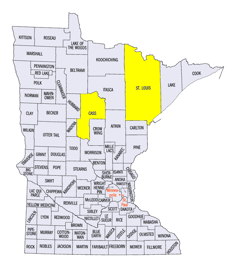
After a record cold final week of December, bitter cold temperature remained in the Midwest in the first week of January (Figure 1). The entire Midwest was below normal, with only parts of northwest Minnesota less than 10°F below normal. Areas in eastern Iowa, Illinois, Indiana and Ohio were 20-25°F below normal for the period. Minimum temperatures were a major factor, with temperatures in eastern Iowa, Illinois, Indiana and southern Ohio more than 25°F below normal (Figure 2). Only Kentucky, southern Missouri and portions of Michigan had average minimum temperatures above zero (Figure 3). Two of the coldest mornings region-wide were January 1 (Figure 4) and January 2 (Figure 5). However, temperatures plummeted below -35°F in northern Minnesota during the mornings of January 4 (Figure 6) and January 5 (Figure 7). The coldest temperatures recorded in northern Minnesota were -40°F in Walker (Cass County) on January 2, -42°F in Cotton (St. Louis County) on January 5 and -45°F in Embarrass (St. Louis County) on January 1. At least 30 more reporting stations recorded temperatures of -30°F or colder in Minnesota at some point during the week.
More than 1,200 daily low maximum and daily low minimum temperature records were broken or tied during the period across the Midwest (Figure 8). Nearly 1,000 of these records occurred from January 1 through the morning of January 3. More than 250 records were broken in Iowa alone, with nearly 200 in Illinois. Indiana and Missouri recorded more than 150 records each as well. Combined with the previous week, more than 2,300 daily temperature records were broken in the 14-day period from December 25, 2017 through January 7, 2018 in the region.
Little to No Precipitation
Precipitation was scarce across most of the Midwest during the week
(Figure 9). A majority of the region received less than five-hundredths of an inch of liquid precipitation. Southern and central Missouri was the only area away from the Great Lakes to receive more than a tenth of an inch. Favorable conditions for lake-effect snow did bring a half inch to an inch of precipitation to the western Lower Michigan and the U.P. of Michigan. However, only the Eastern U.P. of Michigan had near to above normal precipitation
(Figure 10). Snowfall totals in these areas were mostly in the 5-10 inch range (Figure 11).
Drought Remains in Missouri, Iowa, Illinois
Despite limited impacts in the winter, more than 30 percent of the Midwest was considered abnormally dry or in drought according to the January 2 U.S. Drought Monitor
(Figure 12). Moderate and severe drought in Missouri largely had been unchanged in southern and east-central Missouri since early December. The main impacts remained limited to low groundwater and reservoir levels.
-BJP-