December 11-17, 2019
Midwest Weekly Highlights - December 11-17, 2019
Colder Temperatures
Temperatures averaged colder than normal across most of the Midwest during the week
(Figure 1). The coldest areas were in the Upper Midwest, where Minnesota and northwestern Wisconsin were 8-12°F below normal. Minimum temperatures averaged below zero in these areas (Figure 2), with -30s in northern Minnesota through the mornings of December 15
(Figure 3) and December 16 (Figure 4). Several dozen daily low temperature records were broken across the Upper Midwest
(Figure 5). Meanwhile, most of the Ohio River Valley and Missouri was only 1-3°F below normal. Most of Kentucky was within 2°F of normal, with a few areas in southeastern Kentucky slightly above normal.
Wet and Snowy
Precipitation amounts were moderate to heavy across a large portion of the Midwest for the week (Figure 6). Amounts over two inches were common in Kentucky, while amounts near an inch fell across the northern Ohio River Valley. Most of Kentucky had more than twice the normal amount for the period (Figure 7). Amounts over a half inch were recorded in the U.P. of Michigan as well, which was above normal. Drier weather was common across Iowa, southern Wisconsin and Lower Michigan, however. Most of these areas had less than a quarter of the normal amount.
Snowfall was widespread due to colder temperatures across the region (Figure 8). More than half a foot of snow fell in the U.P. of Michigan, as well as parts of northern Wisconsin. Several storms also impacted the central Midwest from Missouri through western Ohio, dropping 2-5 inches. More than 100 daily snowfall records were recorded across the region
(Figure 9).
Central Midwest Snowstorm
A two-day event led to moderate to heavy snowfall and travel disruptions across the central Midwest from December 15-16. Amounts on December 15 through the morning of December 16 were in the 3-5-inch range across northern Missouri, central Illinois and central Indiana (Figure 10). An additional 1-3 inches fell during the day on December 16 from central Missouri through southern Illinois and central Indiana
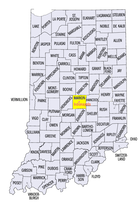
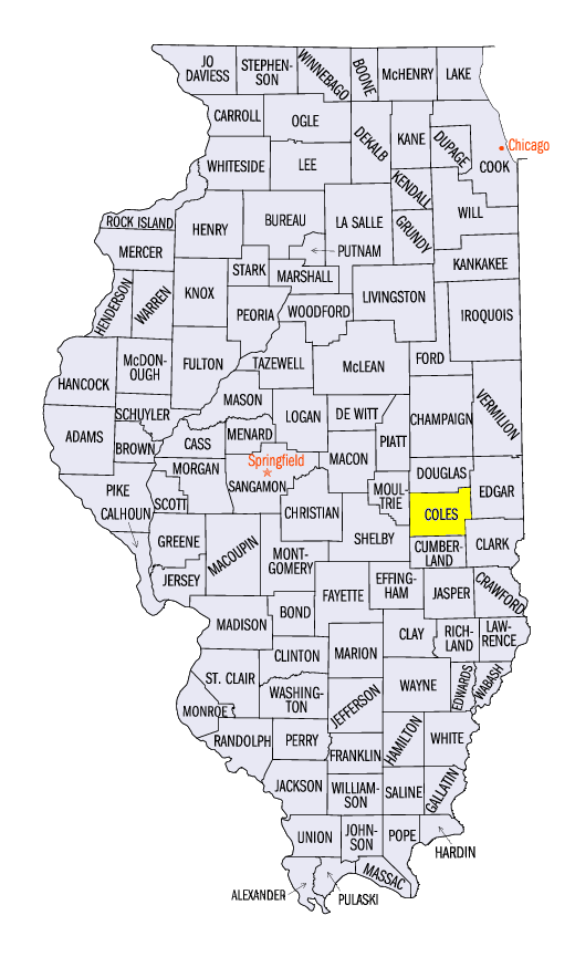
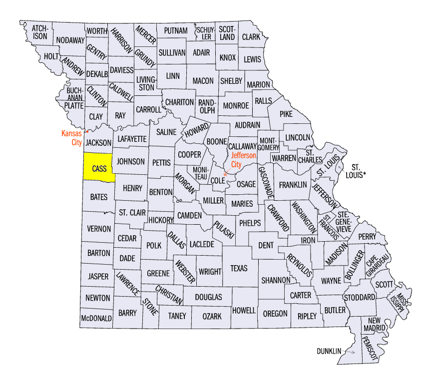
(Figure 11). Some of the heaviest totals included 10.5 inches near Castleton, IN (Marion County), 9.5 inches near Mattoon, IL (Coles County) and 9.2 inches near Pleasant Hill, MO (Cass County).
-BJP-