September 17-23, 2019
Midwest Weekly Highlights - September 17-23, 2019
September Heat Wave
Temperatures were well above normal across the Midwest
(Figure 1), making it feel more like summer than early fall. Most of Minnesota, Wisconsin, Iowa and Missouri were 10-12°F above normal for the period. The remainder of the region was 8-10°F above normal. Minimum temperatures were even warmer across the region (Figure 2), with areas of Iowa, Wisconsin and Minnesota more than 14°F above normal. Maximum temperatures reached the upper 70s and 80s across most of the region
(Figure 3). Temperatures in the 90s were also recorded (Figure 4). More than 440 daily high maximum and minimum temperature records were tied or broken across the region
(Figure 5), with more than 340 from high minimum temperatures.
Continued Heavy Rainfall
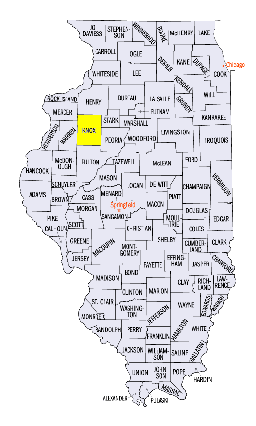
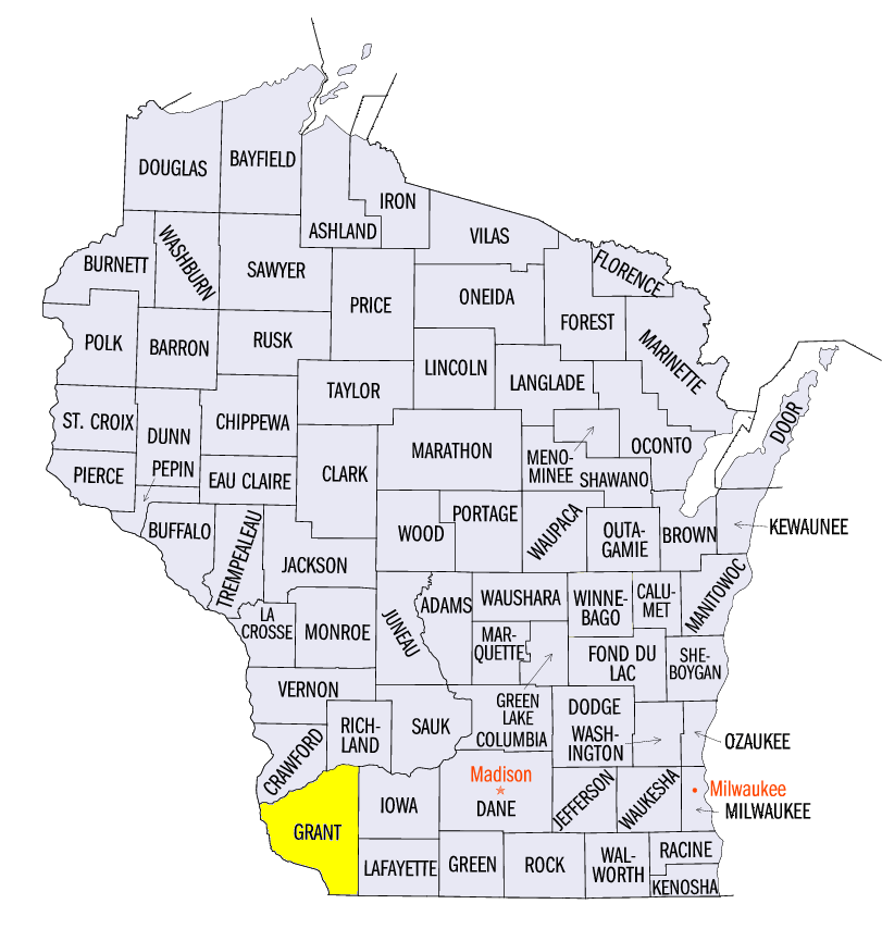
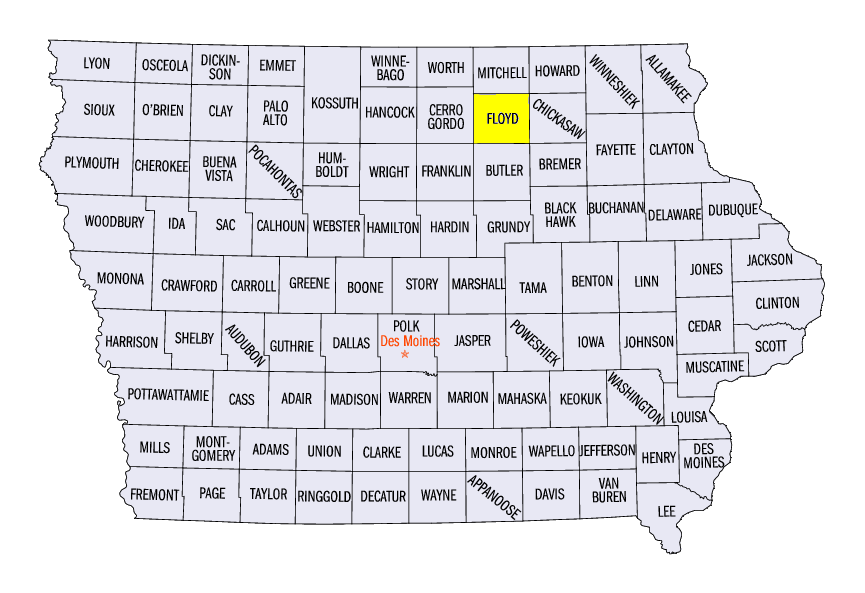
Areas already affected by flooding in the Iowa, Illinois and Wisconsin tri-state area received even more rainfall during another wet week (Figure 6). More than two inches of rain fell in parts of western Missouri, southern and eastern Iowa, northwestern Illinois and southwestern Wisconsin. Locally heavier amounts up to five inches were also recorded. Some of the heaviest rain fell through the mornings of September 19 (Figure 7) and September 20 (Figure 8). More than 60 daily precipitation records were set across the region as well. Some of the heaviest amounts included 6.52 inches in Altona, IL (Knox County), 5.46 inches near Lancaster, WI (Grant County) and 4.74 inches near Nora Springs, IA (Floyd County). Several monthly records were already broken from heavy rain (Figure 9). Lancaster, WI (Grant County) received 17.62 inches through September 23, which shattered the previous record from 2018 of 12.13 inches (118 years on record). Green Bay, WI also broke it’s record with 8.32 inches through September 23 (134 years on record).
Meanwhile, drier conditions continued across Kentucky. Southern Missouri, southern Illinois, Indiana and Ohio were also drier than normal (Figure 10). Drought remained across Kentucky and areas in Iowa, Illinois, Indiana and Ohio in the September 19 U.S. Drought Monitor
(Figure 11). However, above-normal precipitation in Michigan decreased drought coverage regionwide.
Harvest Season Behind
With late planting in the spring, progress in the harvest season also remained behind across the Midwest. As of September 22, corn maturity was well behind the five-year average in every Midwest state except Kentucky (Figure 12). Illinois was the furthest behind at 45 percent behind. Soybeans dropping leaves were also far behind in every state except Kentucky
(Figure 13). Illinois’s 14 percent dropped leaves was 42 percent behind the five-year average. A warm September was welcomed by producers as more growing degree days allowed crops to recuperate spring losses. However, fall freezes worries continued as the median date of the first fall freeze approached (Figure 14).
-BJP-