July 1-7, 2019
Midwest Weekly Highlights - July 1-7, 2019
Heat and Humidity
Temperatures were above normal across most of the Midwest during the first week of July
(Figure 1). Only a few areas in Minnesota and southwestern Missouri were near normal. Northern Illinois, northern Indiana, Ohio and southern Lower Michigan were 5-7°F above normal. Temperatures reached the upper 80s and 90s in the first half of the week, with one of the hottest days on July 2 (Figure 2). More than 50 daily high temperature records were scattered across the region
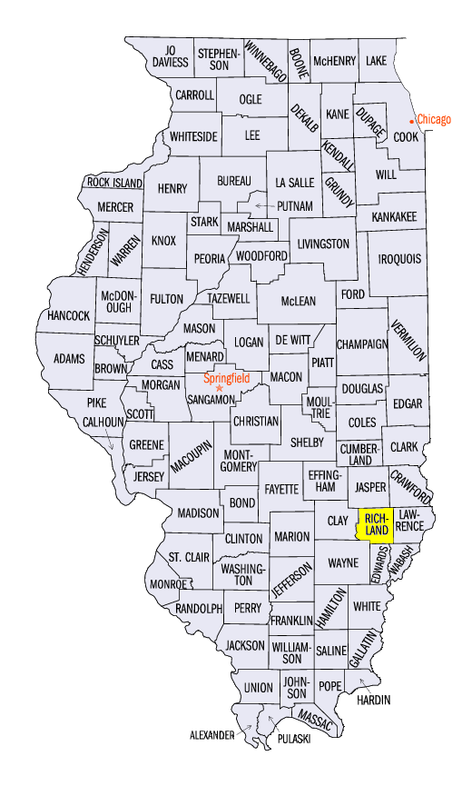
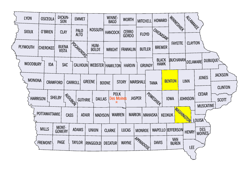
(Figure 3). Humidity was also high in the Midwest, with heat index values in the upper 90s to 100s across the southern two-thirds of the region (Figure 4). Some of the highest recorded heat index values included 106°F in Olney, IL (Richland County), 107°F in Vinton, IA (Benton County) and 112°F at Washington, IA (Washington County).
Scattered Storms and Heavy Rain
Thunderstorms caused scattered precipitation across the Midwest, with afternoon and evening showers and storms common each day in the period
(Figure 5). Some of the heaviest precipitation fell across southern Minnesota, where more than four inches fell. A large portion of this rainfall fell through the mornings of July 1 (Figure 6), July 2
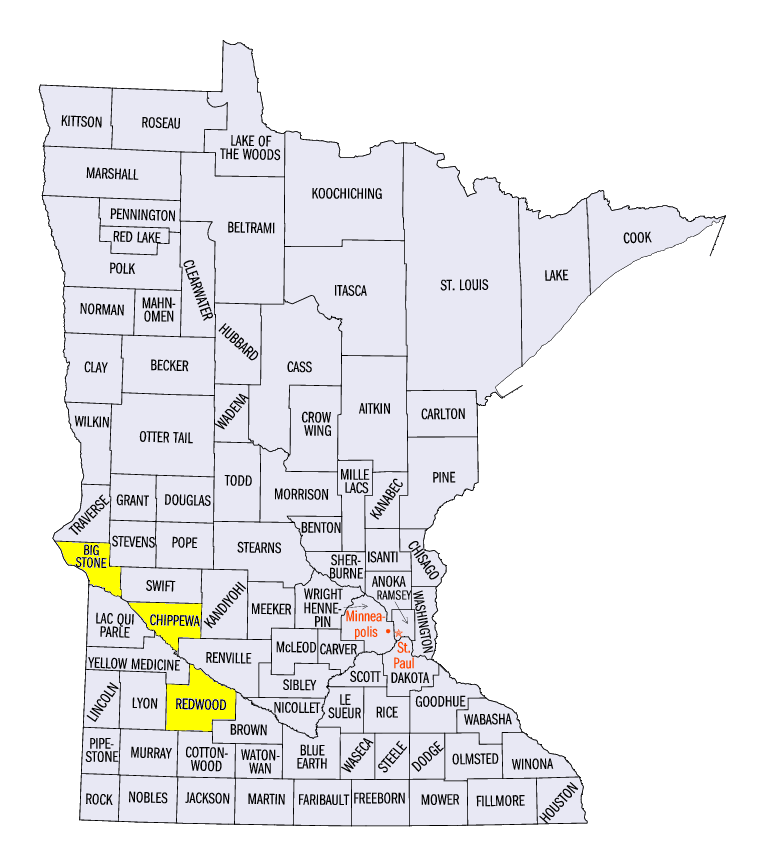
(Figure 7) and July 6 (Figure 8). Some of the heaviest totals in Minnesota included 6.23 inches in Redwood Falls (Redwood County), 5.40 inches near Milan (Chippewa County) and 5.05 inches near Artichoke Lake (Big Stone County). Areas in southern Minnesota received more than three times the normal amount for the period
(Figure 9). More than 90 daily precipitation records were broken across the region (Figure 10).
Strong Winds
More than 200 reports of damaging winds from thunderstorms were reported across the Midwest during the week
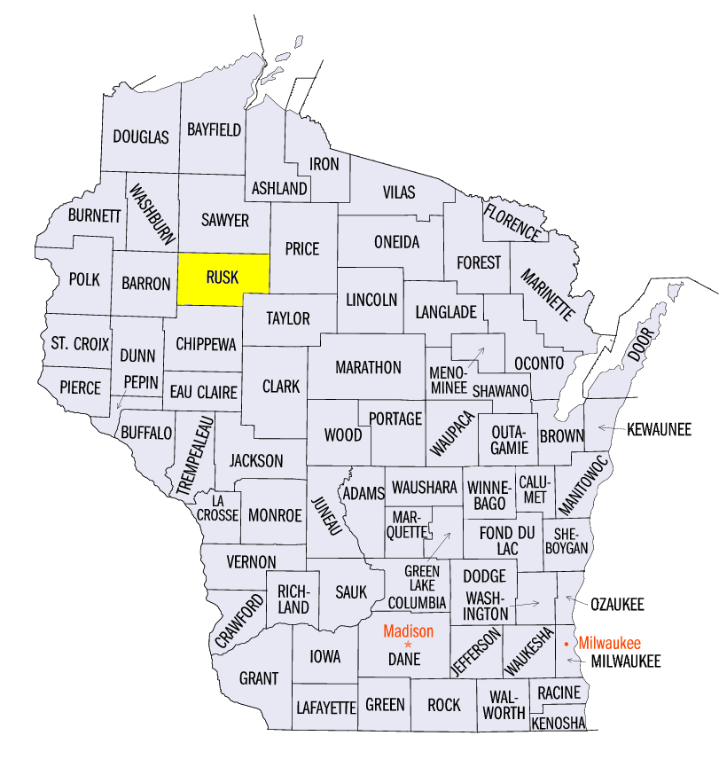
(Figure 11). Many of these occurred in Ohio as a strong line of thunderstorms passed through the state and surrounding areas on July 2 (Figure 12). Damage to trees, power lines, roofs and farm buildings were reported. Several brief tornado touchdowns were also reported in Minnesota and Wisconsin during the week, including an EF-0 tornado on July 4 surveyed near Weyerhaeuser, WI (Rusk County) that tracked for over seven miles.
Drought Free Period Reaches Six Months
With the July 3 U.S. Drought Monitor update, the Midwest reached six consecutive months without drought to start 2019
(Figure 13). Since the streak of weeks without abnormally dry conditions in the region ended on May 21, less than five percent of the region has been designated abnormally dry, mainly in northern Minnesota. Soil moisture remained high across most of the region, except in northern Minnesota (Figure 14). However, planted corn was generally performing favorably in portions of the Midwest according to USDA NASS Crop Progress Reports heading into the month of July
(Figure 15).
-BJP-