February 1-7, 2019
Midwest Weekly Highlights - February 1-7, 2019
Intense Warm-Up
After an Arctic outbreak of cold air, a quick swing to very warm temperatures was observed across most of the Midwest during the first week of February (Figure 1). Areas of southern Missouri and the Ohio River Valley were the warmest at more than 10°F above normal. Maximum temperatures were even warmer in these areas at 15-18°F above normal (Figure 2). Most of Wisconsin and Lower Michigan were warmer than normal during the period.
Most of the warmth was confined to a three-day period after the record low temperatures of January 29-February 1. Maximum temperatures in the 40s, 50s and 60s were widespread across the southern two-thirds of the region for periods ending on the mornings of February 3 (Figure 3), February 4 (Figure 4) and February 5 (Figure 5). More than 500 daily high maximum and minimum temperature records were broken during the week (Figure 6), with more than 380 occurring during that three-day period.
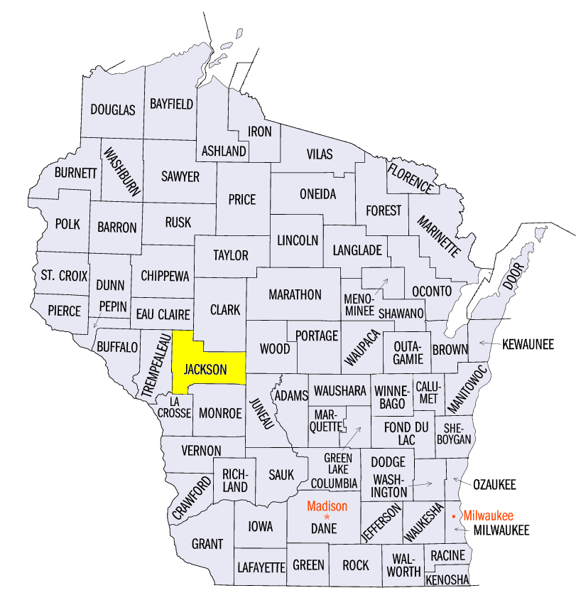
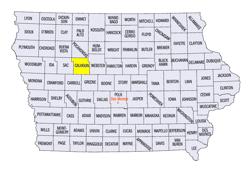
The sudden warm-up led to massive differences from the coldest minimum temperature to the warmest maximum temperature in the period from January 30-February 4 (Interactive Map). More than three-fourths of daily reporting stations in the region recorded a temperature difference of 60°F or more, while more than 500 stations reported a difference of 70°F or more. The two locations with the largest difference were near Mather, WI (Jackson County) with a 91°F difference (-47°, 44°F) and Rockwell City, IA (Calhoun County) with a 94°F difference (-35°F, 59°F). Several dozen other stations recorded temperature differences of 80°F or more.
Wet Weather for Most
Heavy precipitation was common across most of the Midwest during the week
(Figure 7). Most of southern Missouri and the Ohio River Valley received more than an inch of precipitation, while snow and rain combined for amounts over half an inch in northern Illinois, Wisconsin, Minnesota and Michigan. Most of these areas received more than twice the normal amount, with areas of northern Wisconsin and northern Minnesota receiving more than four times the normal amount (Figure 8). Nearly 200 daily precipitation records were broken during the period
(Figure 9). Many of these records occurred through the morning of February 7, where amounts of 1-2 inches of rain fell in southern Kentucky and southeastern Missouri (Figure 10).
Northern Snow
Heavy snow fell over multiple days in northern Minnesota, northern Wisconsin and the U.P. of Michigan during the week
(Figure 11). Northern Minnesota received 4-6 inches of snow through the morning of February 4 (Figure 12). A system then moved through southern Minnesota and northern Wisconsin through the morning of February 6
(Figure 13) with another swath of 4-6 inches. More snow fell through the morning of February 7 in northern Minnesota (Figure 14). In total, most of northern Minnesota received 8-12 inches, while southern Minnesota, northern Wisconsin and the U.P. of Michigan received 4-8 inches.
Ice Storms
As colder air came back into the region in the latter half of the week, mixed precipitation and freezing rain became prevalent from February 5-7. The first event impacted areas from eastern Iowa through northern Illinois in the evening of February 5 through the morning of February 6. Amounts of a tenth of an inch were common. Another storm formed on February 7 and largely impacted southern Wisconsin with freezing rain
(Figure 15). Amounts of a tenth to a quarter of an inch of ice were reported.
Ice Jams and Flooding
With very warm temperatures and rainfall after one of the coldest periods on record in the region, frozen rivers and snowpack quickly melted, causing flooding and ice jams (Figure 16). Rivers in Iowa, Illinois and Wisconsin saw rapid rises in water levels followed by quick decreases as the jams released. Moderate to heavy precipitation during the period also aided in melting snowpack across the region. Many rivers in southern Indiana reached moderate flood stage during the period, while the Illinois River and tributaries of the Mississippi River reached minor flood stage.
Foggy
Increased moisture led to foggy conditions on several days during the period. Very warm weather during the week led to heavy melting of the snowpack across the region. Additional rainfall also added to low-level moisture. Dense fog advisories were put in place in Minnesota, Iowa, Wisconsin and Illinois on February 3-5 as visibilities often reduced to less than one mile.
Severe Weather and Tornadoes
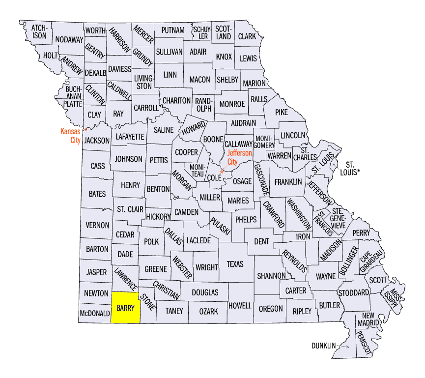
Strong thunderstorms led to reports of hail, thunderstorm wind damage and tornadoes across southern Missouri and parts of the Ohio River Valley on February 6 (Figure 17) and February 7 (Figure 18). Strong winds in southwestern Missouri gusted from 60-80 mph on February 6. A storm survey estimated a wind gust of 80 mph near Monett, MO (Barry County), causing a concrete silo to collapse along with several large trees. One-inch hail was also reported across southwestern Missouri, including several reports of 1.75-inch hail.
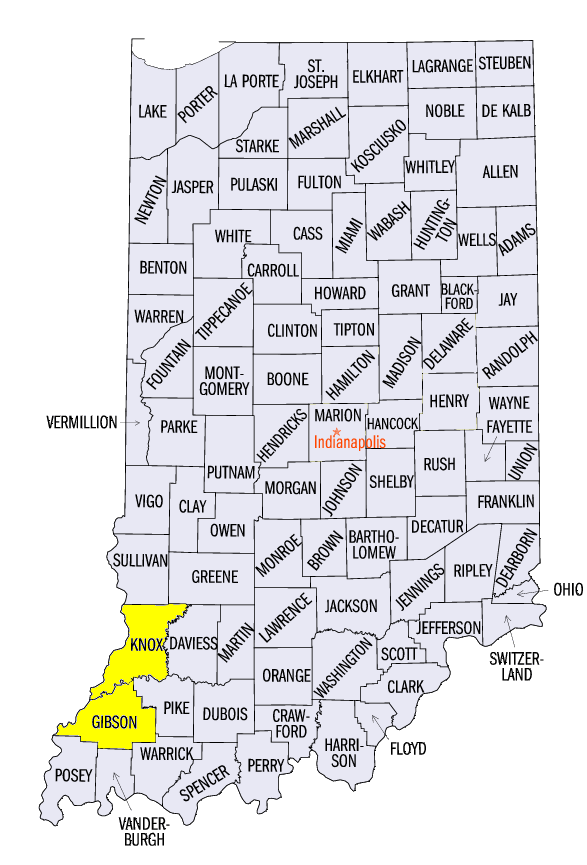
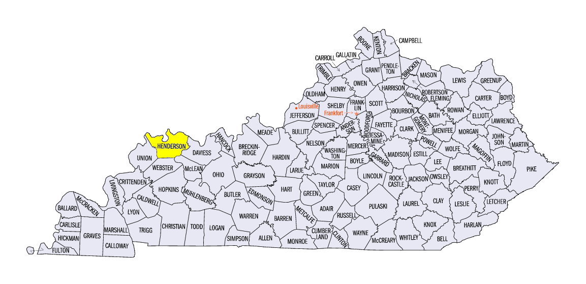
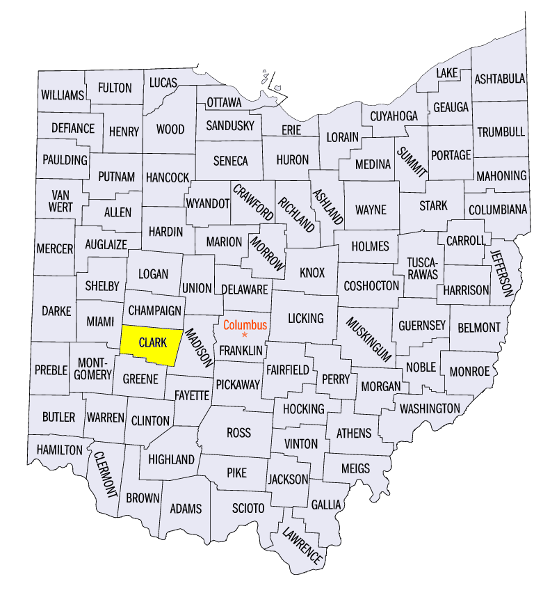
On February 7, several tornadoes were reported along with strong winds. Several EF-1 tornadoes were surveyed near Oakland City, IN (Gibson County) and near Robards, KY (Henderson County). Weak tornadoes were also observed near Decker, IN (Knox County) and near Selma, OH (Clark County). Wind gusts of 50-60 mph were also reported along the Ohio River Valley, including a 69 mph wind gust near Benton, MO (Scott County).
-BJP-