May 25-31, 2020
Midwest Weekly Highlights - May 25-31, 2020
Warm End to May
Temperatures warmed across the Midwest during the last week of May
(Figure 1). Most of the region was 2-6°F above normal, while areas in Lower Michigan were as much as 8°F above normal. Minimum temperatures averaged more than 7°F above normal in most of Wisconsin and Michigan
(Figure 2). More than 230 daily high maximum and minimum temperature records were tied or broken across the region, with more than 170 from high minimum temperatures alone
(Figure 3).
Scattered Thunderstorms to the West
A stalled weather system brought scattered precipitation to the western half of the Midwest during the week (Figure 4). Amounts of 1-3 inches were common in Missouri, Iowa, southeastern Minnesota and Wisconsin. Locally heavier amounts were also reported, especially in northwestern Missouri. Many of these areas had more than twice the normal amount for the period
(Figure 5). Meanwhile, drier areas were observed across the Ohio River Valley and western Minnesota, with most of these areas below normal. The Midwest remained drought-free once again in the May 26 U.S. Drought Monitor (Figure 6), despite a slight increase in abnormally dry conditions.
Scattered Severe Weather
Strong winds and tornadoes were scattered across the Midwest during the period as a system fired off strong storms for several days
(Figure 7). Most of these reports came on May 25 (Figure 8) and May 26
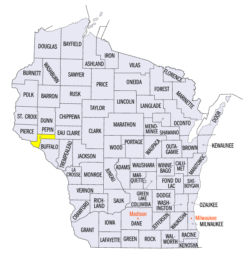
(Figure 9). On May 25, several weak tornadoes were reported in Missouri and Iowa, along with high winds in the western half of the region. A 2-inch diameter hailstone was also reported near Pepin, WI (Pepin County). On May 26, several short-lived tornadoes touched down in Iowa and southern Minnesota, as strong winds were also reported in Wisconsin, northern Illinois, Lower Michigan and northwestern Ohio. Several weak landspout tornadoes were also reported on May 28 in Illinois (Figure 10).
-BJP-