January 25-31, 2021
Midwest Weekly Highlights - January 25-31, 2021
Temperatures Scattered Around Normal
Scattered areas across the Midwest were above normal or below normal during the final week of January
(Figure 1). Areas in Iowa, southern Wisconsin, Michigan and northern Minnesota were a few degrees below normal, while southern Missouri, southern Kentucky and central Minnesota were a few degrees above normal. Very few areas were more than 2°F above or below normal. Maximum temperatures (Figure 2) and minimum temperatures
(Figure 3) for the week were largely opposite, with maximum temperatures below normal and minimum above normal, leading to near-average temperatures.
Heavy Rain and Snowfall
Rain and snow in the southern two-thirds of the Midwest led to very wet conditions in the last week of January (Figure 4). More than an inch of precipitation fell across the southern half of the region, with areas in Kentucky and Missouri receiving more than three inches. Most of this precipitation fell through the mornings of January 25 (Figure 5) and January 26 (Figure 6) with more through the morning of January 31 (Figure 7). Areas in southern Iowa and Missouri had more than three times the normal amount (Figure 8), with large areas of Missouri receiving more than five times the normal amount. Drier conditions were observed across Minnesota and the northern Great Lakes, however, with less than half the normal amount in most of Minnesota and some areas of northern Michigan.
Moderate to heavy snowfall was prevalent during the week (Figure 9). Heavy snow impacted Iowa and northern Missouri through the morning of January 26 (Figure 10). Areas in southwestern Iowa received 8-12 inches of snow. Another storm impacted eastern Iowa through Ohio through the morning of January 31
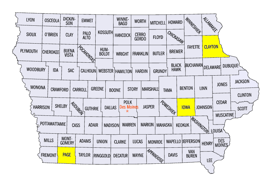
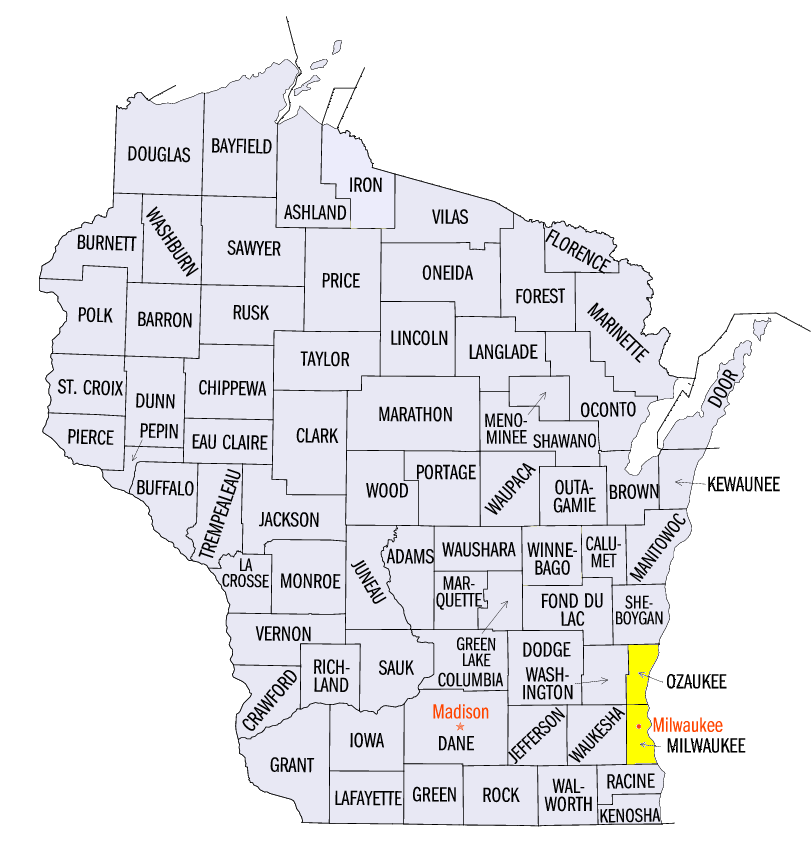
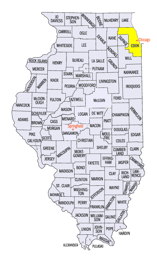
(Figure 11), with heavy lake-effect snowfall along the southwestern shores of Lake Michigan. Some of the heaviest snowfall for the week in Iowa included 16.6 inches near Williamsburg (Iowa County), 15.7 inches in Strawberry Point (Clayton County) and 15.1 inches in Clarinda (Page County). Many other areas in the region received 4-8 inches, with other heavy snowfall amounts such as 22.0 inches near Grafton, WI (Ozaukee County), 18.8 inches near Hales Corners in Milwaukee, WI (Milwaukee County) and 16.8 inches at Chicago O-Hare Airport (Cook County).
-BJP-