July 15-21, 2015
Midwest Weekly Highlights - July 15-21, 2015
More Wet Weather
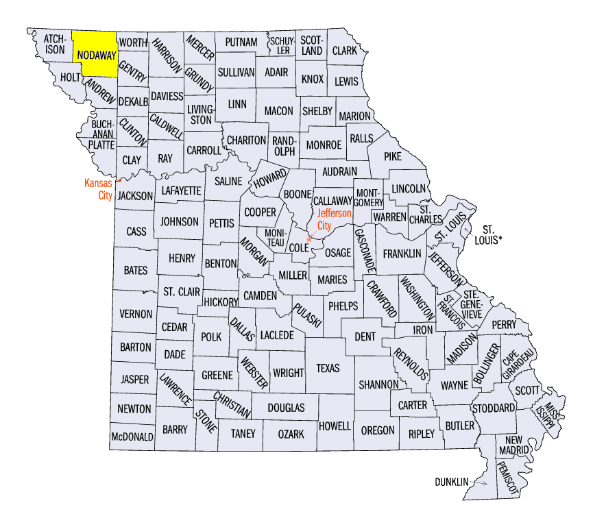
Above normal rainfall was common across the region as abundant precipitation continued to fall. Heavy rain fell across northern Missouri and far southern Iowa as 1.50 to 3.00 inches of precipitation was common
(Figure 1). Locally higher amounts of 3-6 inches were recorded. A cooperative observer in Conception, MO in Nodaway County observed 6.52 inches for the period. Precipitation amounts were at least two inches above normal in these areas (Figure 2). Excess precipitation was also recorded in northern Indiana, western Ohio and eastern Kentucky, where over twice the normal amount of precipitation fell (Figure 3). Over an inch of precipitation also fell across parts of Wisconsin, Michigan and most of Minnesota, leading to above normal precipitation. There were a few dry spots, however. Areas around Lake Superior had less than half the normal amount of precipitation for the period, while pockets of below normal precipitation were found in the Illinois-Iowa-Wisconsin tri-state area and southeastern Illinois.
Cooler Great Lakes, Warmer Plains
Temperatures finally began to feel like summer across the western and southern parts of the region as above normal temperatures returned (Figure 4). Missouri and Kentucky had temperatures 2-5 degrees above normal for the period, while northern Minnesota was 3-6 degrees above normal. Temperatures were a few degrees above normal across most of Iowa, as well. Near normal conditions were common across most of Illinois and Indiana, as well as southeast Minnesota and northern and western Wisconsin. Cooler temperatures were seen around Lake Michigan, Huron and Erie. Most of Michigan was 2-4 degrees below normal while eastern Wisconsin, Michigan’s U.P. and northern and central Ohio were only a few degrees below normal.
Severe Weather Wrap-up
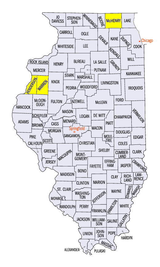
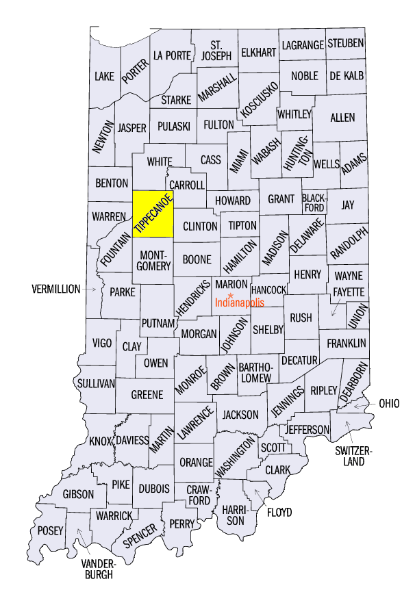
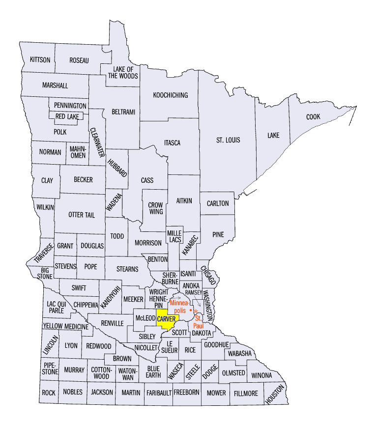
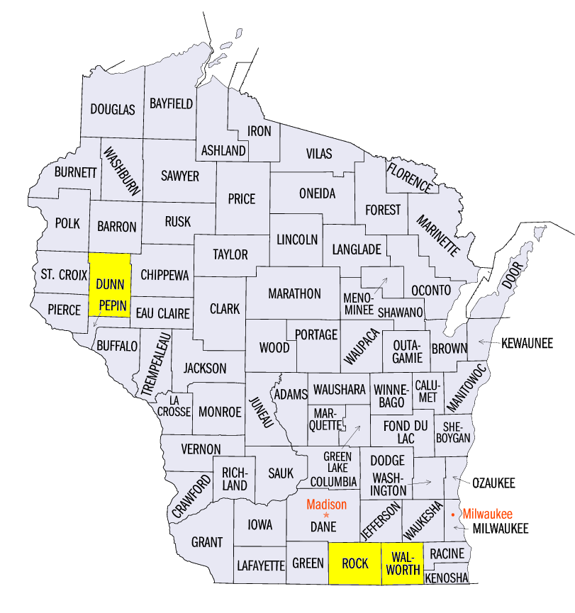
While nowhere near as active as the beginning of July or during June, severe weather continued to cause problems in the upper Midwest on July 16-18
(Figure 5). Tornadoes touched down late in the afternoon on July 16 south of the Quad Cities area. Three different tornadoes moved through Warren County, IL during the evening hours, with one rated EF-1 and two rated EF-2. An EF-1 tornado also touched down in Henderson County, IL earlier in the evening. In total, six tornadoes were surveyed in the Quad Cities area, with one EF-0, two EF-1 and three EF-2 tornadoes. On July 17, two tornadoes brought damage to farmland south of Lafayette, IN in Tippecanoe County. Both tornadoes were rated EF-1. A fairly benign day in Minnesota that day turned severe during the overnight hours as a squall line formed over the western parts of the state. The line of storms organized just west of the Twin Cities around midnight. A brief tornado was observed near Watertown in Carver County, MN at midnight. The line of storms caused widespread wind damage through the Twin Cities metro area as wind gusts of 60-70 mph were common. The line of storms continued into Wisconsin, where another tornado was observed in Dunn County, WI. Wind damage continued to occur along the line of storms through the night, eventually falling apart in eastern Wisconsin around sunrise. In the early afternoon hours on July 18, a line of thunderstorms developed in southwestern Wisconsin and pushed into the eastern part of the state. An EF-1 tornado touched down just west of the Walworth/Rock County, WI line in the mid-afternoon. A couple of EF-0 tornadoes also spun up in McHenry County, IL from the same line of storms. Wind damage was then seen in the Chicago area and throughout far northern Indiana and southwest Michigan. While this three day period didn’t produce a large amount of storm reports, it did produce a high number of tornadoes, especially for mid-July.
Flood Waters Slowly Receding
Flooding continued in Illinois and Indiana as adequate rain fell, keeping many rivers above flood stage. Major flood stage was still present at five different locations along the Illinois River with four more gauges at moderate flood levels. However, river stages have started to fall along the river. In Meredosia, IL, the river was less than one and a half feet above major flood stage (Figure 6), while in Valley City, IL, the river was less than half a foot away from moving below major flood stage (Figure 7). Forecast river stage drop rates of half a foot to a foot per day were expected through the end of July, barring unexpected precipitation. Flooding has gripped the river since early June.
Meanwhile, the Wabash River continued to stay in minor flood stage in Indiana as well above normal precipitation fell across the state during the period. With heavy rain in Missouri the Missouri River became flooded along most of its length through the state. The Mississippi River, however, went below flood stage between Quincy and Grafton, Illinois. Minor flooding continues in the St. Louis area through the Missouri Bootheel, with sporadic flooding along the river through Louisiana.
Excess Precipitation Causing Crop Damage
With Illinois, Indiana and Ohio breaking their precipitation records for June and Missouri having its 5th wettest May through June on record, it has been a rough summer for farmers. While drought is often considered the biggest threat to crops, excess precipitation has caused considerable degradation of corn and soybean crop conditions across the central Midwest. Weekly National Agricultural Statistics Service crop reports have shown that crop conditions progressively worsened from end of May (Ohio started reporting on June 7, Missouri on June 28) through the latest report on July 19 in Indiana, Illinois and Ohio (Figure 8). As of the latest report, 20 percent of the soybean crop was rated at poor to very poor in both Illinois and Missouri. Ohio and Indiana fared even worse with 23 and 28 percent respectively. On the other end of the spectrum, only 29 percent of the soybean crop was rated good to excellent in Missouri, with only 40 percent in Indiana, 41 percent in Ohio and 47 percent in Illinois. Corn fared slightly better across these states, but poor to very poor conditions were reported for around 20 percent of the corn crop as well (Figure 9). Despite the threat for decreased yields in these states, Minnesota, Iowa and Wisconsin farmers have enjoyed an excellent summer so far, as corn and soybean conditions were rated around 80 percent good to excellent in all three states as of the July 19 report.
-BJP-