December 8-14, 2016
Midwest Weekly Highlights - December 8-14, 2016
Winter Chill
Well-below-normal temperature were common across the entire Midwest this week
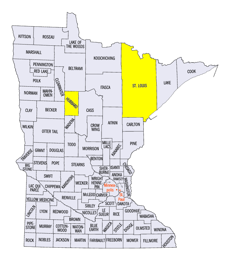
(Figure 1). Average temperatures were in the teens and single digits across most of the upper Midwest (Figure 2), which translated to 8-14°F below normal. The central and southern Midwest were also cold at 5-8°F below normal. Lower Michigan was the closest to normal at 3-6°F below normal. Minimum temperatures reached below zero in Minnesota during most of the week. The minimum temperature was -23°F near Orr, MN (St. Louis County) on December 11 and -22°F in Badoura, MN (Hubbard County) on December 13. Below-zero temperatures also spread into Wisconsin and northern parts of Iowa, Illinois and Indiana through the morning of December 14
(Figure 3).
Snowy in the Upper Midwest
More than five inches of snow fell across the Upper Midwest during the week, as multiple large-scale storms and lake-effect snow storms occurred (Figure 4). Michigan received the most snowfall during the period, with areas over 15 inches in the Lower Peninsula. Further south, several inches of snow through the morning of December 14 in Indiana and Ohio (Figure 5) was more than three times the normal amount (Figure 6).
Precipitation from this snowfall was near to slightly above normal in Wisconsin, but parts of western Minnesota and Michigan received more than one and a half times the normal amount
(Figure 7). Drier conditions were found across Missouri, Iowa, Illinois and southern Indiana, where less than half the normal precipitation fell. Eastern Kentucky received more than an inch of precipitation during the week (Figure 8). However, this was only near the normal amount in this drought stricken area.
December 8-10 Lake-Effect Snow
Warm lake temperatures, cold Canadian air and winds from the northwest led to lake-effect snow storms across Lower Michigan on December 8-10. More than six inches of snow fell through the morning of December 9
(Figure 9), with an additional 3-6 inches through the morning of December 10 (Figure 10). Interstates 94 and 96 in western parts of the state had multi-car pile-ups that involved hundreds of vehicles. At least four were reported dead, with dozens more injured.
December 10-12 Upper Midwest Snowstorm
Moderate to heavy snow fell across the Upper Midwest from the afternoon hours of December 10 through the morning of December 12. Amounts of 4-6 inches fell across southern Minnesota, northeastern Iowa, southern Wisconsin and southeastern Michigan through the morning of December 11
(Figure 11). Higher amounts were common across southern Minnesota, where 6-10 inches fell. Michigan was hit hard during the day on December 11 through the morning of December 12 (Figure 12). More than 6 inches fell across southern Lower Michigan. Snowfall continued behind the storm in northern Wisconsin, eastern Minnesota and the U.P. of Michigan, where 2-6 additional inches fell.
Kentucky Drought Improves
Rainfall since the start of December helped improve drought conditions across Kentucky according to the December 13 Drought Monitor (Figure 13). While nearly 95 percent of the state remains in drought, nearly a quarter of the state saw an improvement in conditions. Extreme drought was eliminated from south-central Kentucky, while the area in severe drought decreased from near 80 percent to near 56 percent. Moderate drought was also occurring outside of Kentucky in southern Indiana and the Bootheel of Missouri. Over four and a half million people in the Midwest are estimated to be in drought-affected areas.
-BJP-