November 2016
Monthly Overview - November 2016
Very Warm Temperatures
Temperatures in November were well above normal, especially in the northwestern parts of the region. Temperatures ranged from about 3°F above normal in the southeast to more than 12°F above normal in the northwest
(Figure 1). The region as a whole ranked as the second warmest November in 122 years of records. Iowa, Minnesota, Wisconsin, and Michigan also ranked second statewide, and the remaining states all ranked among the top 11 warmest in their respective records. Record high temperatures were abundant with well over a thousand during the month, while just a handful of record lows were set. First freezes (both 32°F (Figure 2) and 28°F
(Figure 3)) were later than typical by two or three weeks across most of the region, with nearly all Midwest locations recording a hard freeze by the end of November. November temperatures reached the upper 70s in all nine Midwest states with readings into the 80s in all but the northernmost states, Minnesota, Wisconsin, and Michigan. The coldest temperatures of the month were in Minnesota where the readings dropped below zero. Single-digit readings were recorded in Wisconsin and Michigan, and temperatures dropped into the teens in the other six Midwest states.
Mostly Dry Conditions
Most of the Midwest was below normal for the month (Figure 4). Precipitation totals ranged up to 4 inches in southeastern Missouri, while parts of northwestern Missouri picked up less than three-quarters of an inch
(Figure 5). When viewed as a percentage of normal (Figure 6), the values ranged from less than 25% of normal in parts of Missouri to more than twice normal in northeastern Minnesota. Large swaths of Missouri and Ohio received less than half their normal monthly precipitation totals in November. Most of Minnesota and northwestern Iowa were above normal, along with some small scattered areas from Wisconsin to Indiana. Statewide totals in Ohio ranked among the driest 10% of the record (122 years) and among the driest 25% of the record in Missouri, Kentucky, and Michigan. Seasonal snowfall totals
(Figure 7) were mostly below normal across the Midwest. Totals were well below normal in Upper Michigan, below normal for much of the region, and slightly above normal only in north central Minnesota (Figure 8).
A Warm Fall and Year
Temperatures were warm throughout the fall (September-November) in the Midwest with the region recording its record warm fall in 2016 at more than 5°F above normal
(Figure 9). All nine states ranked either 1st (Iowa, Michigan, Minnesota, and Wisconsin) or 2nd (Illinois, Indiana, Kentucky, Missouri, and Ohio) warmest statewide for the fall season. The year-to-date (January-November) temperatures also have been among the warmest on record, ranking 2nd for the region behind only 2001 (Figure 10). All nine states ranked between 2nd and 4th for the year-to-date. Precipitation totals for the fall
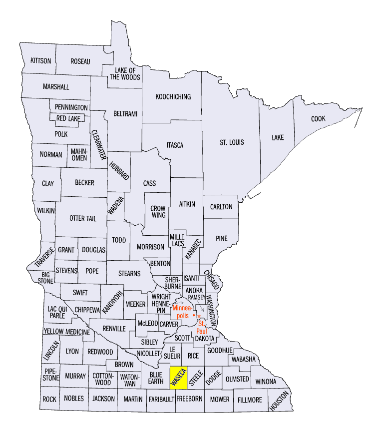
(Figure 11) and year-to-date (Figure 12) periods were a mixed bag with both above and below normal state-wide totals in the nine-state region. Kentucky ranked as the 6th driest fall. Wisconsin (2nd), Minnesota (3rd), and Michigan (10th) ranked among the wettest year-to-date periods in their histories. Waseca, Minnesota
(Waseca County) has already topped the annual record for all Minnesota stations with 54.29 inches through November.
Drought in Kentucky
Drought in the southeastern U.S. extended into Kentucky with worsening conditions through November. Most of the state (82%) was in moderate drought to begin the month
(Figure 13) along with small areas of neighboring Midwest states (8% of the region as a whole). By the end of the month (November 29th), the coverage had expanded slightly to 98% of the state and 11% of the region and the conditions had deteriorated such that 90% of the state was in severe drought and 25% was in extreme drought (Figure 14). Several significant wildfires burned in eastern Kentucky in November
(Figure 15).
Severe Weather
November was mostly quiet with few storms. There were three days with severe convective weather reported, the 2nd, 18th, and 28th. Winter weather was also related to the storm on the 18th with a blizzard in Minnesota dropping up to 25 inches of snow in north central Minnesota on the 18th and 19th
(Figure 16). Large hail and thunderstorm winds on the 2nd
(Figure 17) affected Missouri and Illinois. Wind damage on the 18th
(Figure 18) stretched from east central Illinois, across Indiana (up to 74 mph), and into southeastern Michigan (up to 79 mph). Three weak tornadoes touched down in central Iowa on the 28th
(Figure 19), the fourth latest date on record for Iowa twisters.
-MST-
The Iowa Climatology Bureau also contributed to this report.
The Minnesota State Climatology Office also contributed to this report.
The Missouri Climate Center also contributed to this report.