May 1-7, 2016
Midwest Weekly Highlights - May 1-7, 2016
Close to Normal Temperatures
Temperatures during the first week of May were close to normal across most of the region, with only northern Minnesota and Wisconsin more than 3°F above normal, and northwest Indiana more than 3°F below normal
(Figure 1). The southern half of the region skewed slightly below normal, with Missouri, southern Iowa, Illinois, Indiana and western Kentucky all 1-3°F below normal. Winds off Lake Michigan also kept western Michigan 1-3°F below normal. Northern Wisconsin and southern Minnesota were slightly above normal, but northern Minnesota was much warmer at 4-8°F above normal. The warm conditions were punctuated by a very hot day on May 6 through the morning of May 7 (Figure 2). Some of the warmest temperatures in the U.S. were in northern Minnesota, Wisconsin and Michigan as several record maximum temperatures were either tied or broken
(Figure 3). The warmest temperature recorded in the region was 95°F in Superior, WI. In comparison, the high temperature was 80°F in Phoenix, AZ on the same day.
Wetter to the East, Drier to the West
A storm system during the first few days of May brought upwards of an inch of precipitation to the eastern half of the Midwest and Iowa (Figure 4). More than a half-inch fell through the morning of May 1 across most of Iowa, northern Illinois, Indiana, northern Ohio and eastern Kentucky
(Figure 5). Precipitation continued through the morning of May 2, adding another quarter- to half-inch (Figure 6). Additional precipitation during the week led to more than two inches in eastern Kentucky. Drier conditions were observed across Missouri, southern Illinois, Minnesota and Wisconsin, with precipitation amounts more than a half-inch below normal
(Figure 7).
Severe Weather Summary
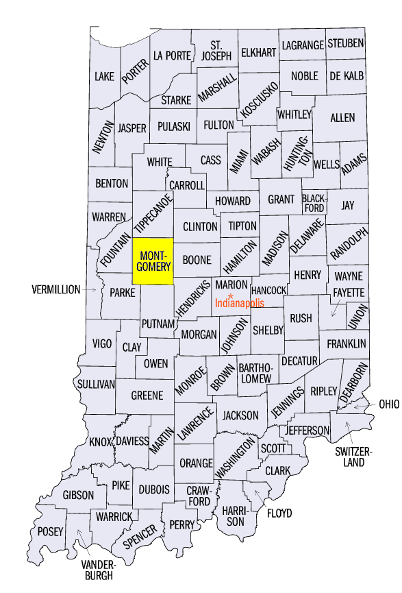
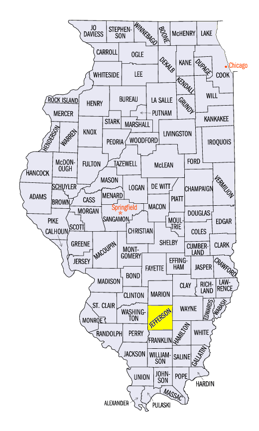
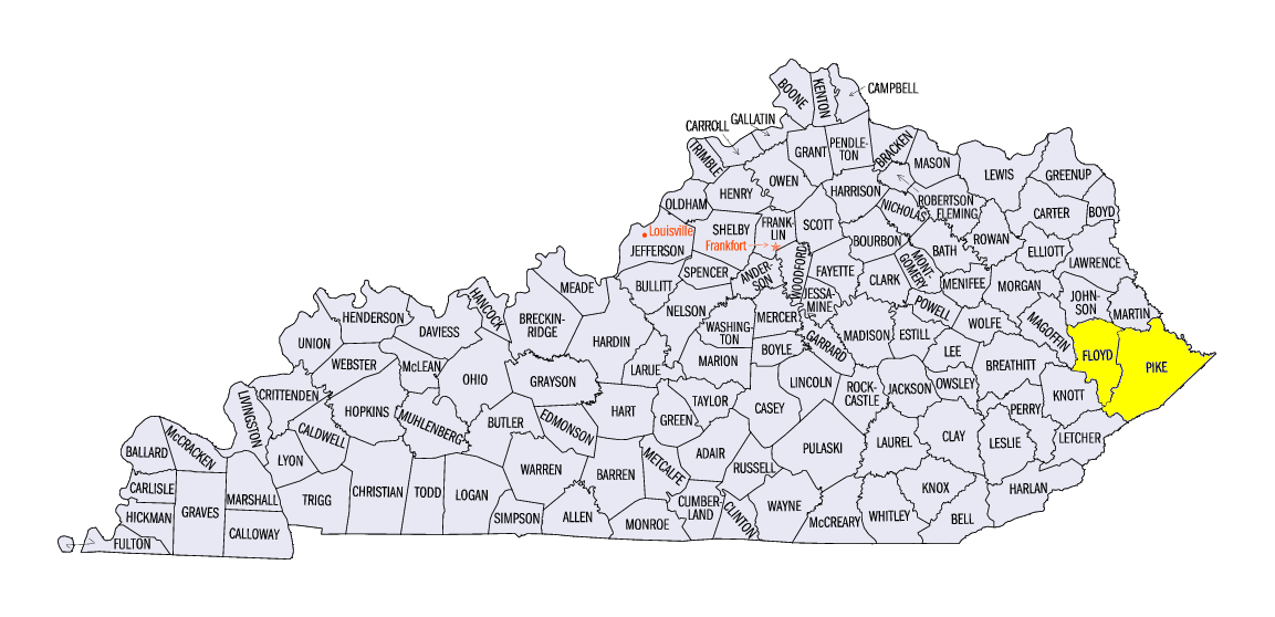
Two major severe weather events bookended the week on May 1 and May 7 (Figure 8). On May 1, widespread thunderstorms caused hail and wind damage in Indiana, Kentucky and eastern Ohio. One particular storm that began in east-central Illinois moved through central Indiana during the evening hours and produced 2-2.5 inch hail. Strong winds in northeast Kentucky downed trees and damaged barns. Two tornadoes were also reported in Montgomery County, IN. On May 7, strong winds were accompanied by a cluster of storms that went across southern Illinois, southwest Indiana and central Kentucky. Wind gusts of 50-60 mph were common with a 75 mph wind gust reported in Jefferson County, IL. Large trees were blown down while shingles were torn off of houses. While the rest of the week was less eventful, reports of two-inch hail were found in Pike and Floyd counties, KY on May 2.
-BJP-