April 1-7, 2016
Midwest Weekly Highlights - April 1-7, 2016
Wet Across the Great Lakes
Multiple clipper storm systems crossed the Great Lakes to start April, bringing over an inch of precipitation to Michigan, northern Indiana and northern Ohio
(Figure 1). Many of these areas had more than twice the normal amount of precipitation for the period (Figure 2). Northwesterly flow over the lakes also enhanced precipitation in northwest Indiana, northeastern Lower Michigan and the eastern U.P. of Michigan. While severe weather wasn't common during the week, a tornado was reported in southern Tippecanoe County, IN on April 1. Well-below-normal temperatures during the timeframe caused most of this precipitation to fall as snow. Over ten inches of snow fell across the U.P. and northern Lower Michigan, with stations reporting over 20 inches of snow in some areas
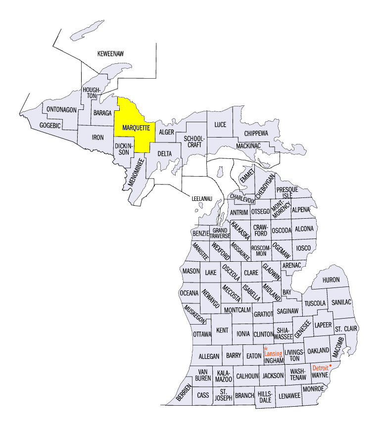
(Figure 3). Some of the heaviest snowfall occurred through the morning of April 6, when 4-6 inches of snow fell across the Arrowhead of Minnesota and the U.P. of Michigan (Figure 4). The Marquette, MI airport in Marquette County reported 32.2 inches of snow for the seven-day period. Meanwhile, below-normal precipitation was common across most of Missouri, Illinois, Kentucky, Iowa and Minnesota
(Figure 5). Most of Missouri was more than a half-inch below normal.
Cold Start to April
After the Midwest experienced its 6th warmest March on record, April began well-below-normal across most of the region (Figure 6). Temperature departures of over 10°F below normal were common across the U.P. and northern Lower Michigan. Most of Minnesota, Wisconsin, Illinois, Indiana and Ohio were 3-8°F below normal, while Kentucky was 1-3°F below normal. Maximum temperatures were even colder, as most of northern Minnesota, northern Wisconsin and Michigan were 10°F or more below normal
(Figure 7). Persistent snowpack in these areas likely aided in keeping maximum temperatures lower than normal (Figure 8). The Marquette, MI airport in Marquette County also set daily minimum temperature records on April 3 (1°F) and April 5 (-7°F). Western Missouri and extreme southwest Iowa were the only warm spots during the period, with average temperatures coming in at 1-3°F above normal.
April 2 Winds
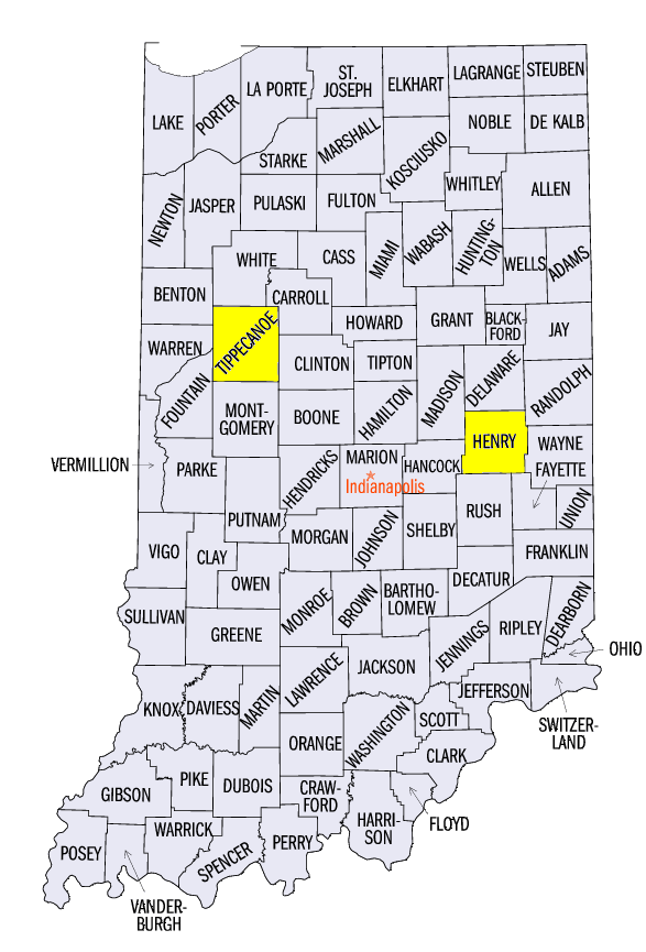
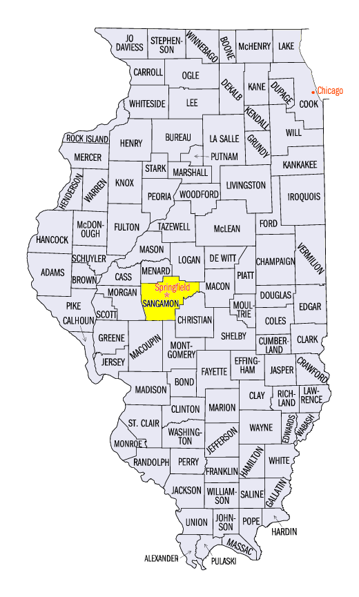
A quick-moving clipper system with strong high pressure to the west led to strong winds across the central Midwest on April 2. Damage from high winds was reported across parts of southern Wisconsin, eastern Iowa, Illinois, Indiana, western Ohio and northern Kentucky. Wind gusts of 40-50 mph were common across these areas, with occasional gusts of up to 60 mph. A 62 mph gust was recorded at the Springfield, IL airport (Sangamon County) and at the Purdue Airport in Lafayette, IN (Tippecanoe County). The highest wind gust reported was 71 mph in Henry County, IN.
-BJP-