February 15-21, 2016
Midwest Weekly Highlights - February 15-21, 2016
Warm Temperatures Return
February continued to alternate warm and cold spells as above-normal temperatures returned to the region over the period (Figure 1). The warmest spots were across the western reaches of the region, where temperatures were 8-14°F above normal. Most of Illinois was 4-8°F above normal, while the remainder of the region was 1-5°F above normal. A few near-normal spots were found in Michigan, eastern Ohio and eastern Kentucky.
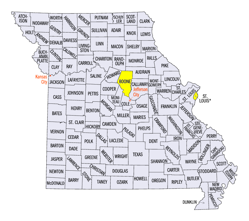
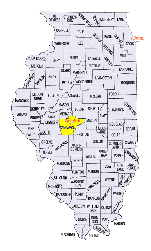
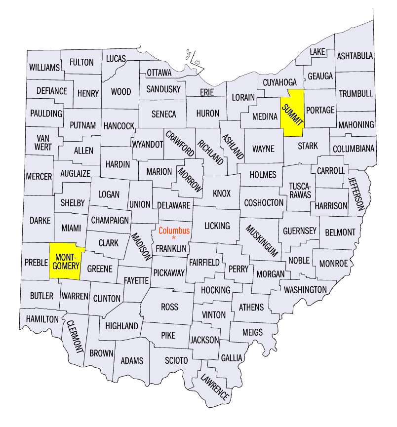
Temperatures were at their warmest during the weekend of February 19-21. The warmest day was February 20 through the morning of February 21 (Figure 2). Record high temperatures were broken on February 20 in Columbia, MO (Boone County), St. Louis, MO (St. Louis County), Springfield, IL (Sangamon County), Dayton, OH (Montgomery County), Akron-Canton, OH (Summit County) and many other locations.
Dry Week
Very little precipitation fell across the region; only Kentucky and southern Ohio had more than an inch of precipitation (Figure 3). Most of Missouri, Illinois, Indiana, Lower Michigan, Wisconsin, Iowa and Minnesota had less than a half-inch of precipitation over the period. Most of southern Wisconsin, northern Iowa and southern Lower Michigan had less than a tenth of an inch. This was less than half the normal amount in many cases (Figure 4). Precipitation in Kentucky, northern Minnesota, northern Wisconsin and the U.P. of Michigan was well above normal, however, and was two to three times more than the normal amount.
Most of the precipitation across northern Minnesota and the U.P. of Michigan and a good portion of the precipitation in Kentucky fell as snow
(Figure 5). While snowfall in the U.P. of Michigan fell across multiple days during the period, most of the snow across the region fell on February 14 through the morning of February 15 (Figure 6). Most of Kentucky received 3-6 inches of snow, while 2-5 inches fell across eastern Iowa through Indiana. Northern Minnesota also received 3-6 inches of snow.
February 19 High Wind Event
A dry day for many across the Midwest became quite eventful as significant pressure differences led to strong winds across the region. A low-pressure system moved across northern Minnesota and Wisconsin during the daytime hours of February 19, while a strong sprawling high-pressure system was stagnated along the east coast of the U.S. (Figure 7). Strong high pressure was also in place across the Rocky Mountains. The result was wind gusts from 40-50 mph across most of the region. Sustained winds in Iowa neared 60 mph while higher wind gusts up to 70 mph were reported. Selected wind speed and gust reports are available from this map and listed below from these National Weather Service Offices:
Damage was reported across the region. One of the hardest hit places was the Chicago area, where high-rise buildings were evacuated. Glass from these buildings shattered before raining on pedestrians below. The Willis Tower Skydeck was closed due to the winds. A building under construction was toppled, crushing a car on the street. High profile vehicles flipped across northern Indiana and northeast Illinois. Power outages were also common in Chicago and northern Indiana as trees and power lines were snapped. A full report for the Chicago area is available from the National Weather Service-Chicago.
-BJP-