January 22-31, 2016
Midwest Weekly Highlights - January 22-31, 2016
Warm End to January
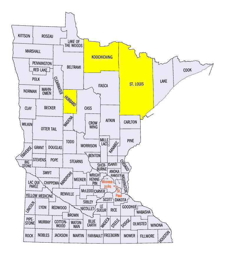
After cold air invaded the region during the middle of the month, January ended much warmer than normal across most of the Midwest (Figure 1). The warmest state by far was Minnesota, where temperatures were largely 10°F or more above normal. Embarrass in St. Louis County, International Falls in Koochiching County and Park Rapids in Hubbard County were all more than 15°F above normal for the period. Temperatures in Wisconsin and Michigan were 5-9°F above normal while Iowa, Missouri, Illinois and Indiana were 3-8°F above normal. Northern Ohio also had temperatures 2-5°F above normal.
Kentucky, however, remained colder-than-normal for the period. A major winter storm tracked across the state through the morning of January 23, which leaving most of the state under a blanket of snow. While snow melted quickly over the state (Figure 2), the snowpack helped keep overnight minimum temperatures well below normal
(Figure 3).
Dry, But Snowy in Michigan, Kentucky
Dry conditions were common across the region to end January. A majority of the region had below-normal precipitation (Figure 4). Parts of Missouri, central Illinois and central Indiana were dry for the period, while most of Iowa and northern Ohio had less than two-tenths of an inch (Figure 5). Higher precipitation amounts were found in southern Kentucky where 0.5-1.5 inches fell over the period. Parts of Michigan also had between a half-inch and an inch.
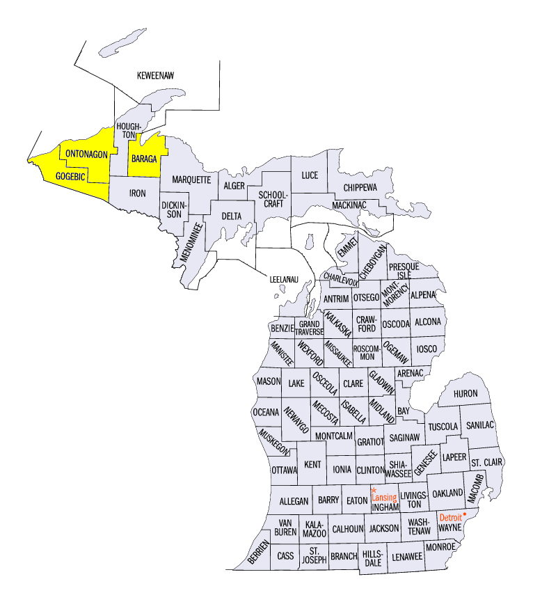
A few winter storms crossed the region during the period, but most of the region received less than two inches (Figure 6). Snow amounts were high across the U.P. of Michigan, with more than 10 inches across most of the peninsula
(Figure 7). Some spots had more than 15 inches. Alberta in Baraga County had 20.6 inches, while Bergland in Ontonagon County had 22.4 inches and Ironwood in Gogebic County had 23.3 inches. A storm that occurred through the morning on January 26 also brought 4-8 inches of snow to central Wisconsin (Figure 8). The big story, however, was in Kentucky, as the state was hit extremely hard by a storm that brought heavy snow all along the east coast of the United States (see below).
Major Winter Storm Blankets Kentucky
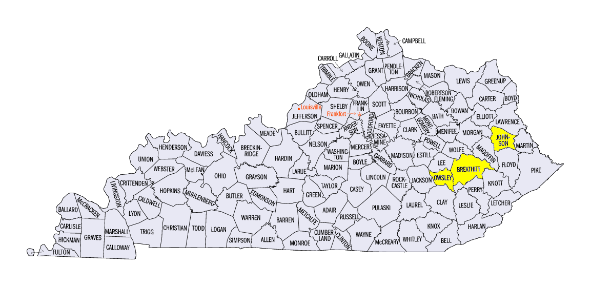
Heavy snow fell across Kentucky from January 21 through the morning of January 23 as a major winter storm formed
(Figure 9)
(Figure 10). The storm first began late in the day of January 21 in western Kentucky, where up to a quarter-inch of ice accumulated. Eventually, snow began to fall, leaving western Kentucky with 6-10 inches of snow. Heavier snow totals were found in the central and eastern parts of the state as the storm gained strength. Some of the higher storm total snowfall included 18.5 inches at Paintsville in Johnson County, 18.5 inches at Jackson in Breathitt County and 23.7 inches 12 miles southwest of Boonesville in Owsley County. While these amounts were significant for Kentucky, the storm was just forming when snow fell across the state. Even heavier amounts fell across the mid-Atlantic region and into the northeast, as spots from Virginia to New York had upwards of 30 inches from the storm
(Figure 11). This was the third major winter storm to dump more than a foot of snow in parts of Kentucky since February 2015.
-BJP-