September 17-23, 2017
Midwest Weekly Highlights - September 17-23, 2017
Heat Wave
Some of the warmest temperatures of 2017 occurred during the third week of September across the Midwest. Most of Iowa, Missouri, Wisconsin, Illinois, Indiana, Ohio and Lower Michigan were 8°F or more above normal for the period (Figure 1). Areas in western Lower Michigan were as much as 14°F above normal. High temperatures in the upper 80s and 90s were common throughout the week. The extent of the heat was largest on September 21 (Figure 2), September 22 (Figure 3) and September 23 (Figure 4). Heat Advisories were issued by the National Weather Service in southern Minnesota, Iowa, western Wisconsin and northwestern Illinois on September 22 (Figure 5). Over 100 stations recorded their hottest day of 2017 during the period.
Hundreds of high maximum and high minimum records were tied or broken during this stretch as well (Figure 6). More than 200 records fell through the morning of September 21
(Figure 7). More than 300 occurred through the morning of September 22 (Figure 8) and more than 400 fell through the morning of September 23
(Figure 9). Through the morning of September 25, more than 1,400 high maximum and minimum temperature records have been tied or broken in the Midwest in September (Figure 10).
Scattered Showers
Precipitation was scattered in the Midwest, with some areas receiving more rainfall than others
(Figure 11). Northern Minnesota was wet for a second straight week, with more than an inch of rainfall. Parts of Iowa, Missouri and Indiana also received more than an inch. This was as much as twice the normal amount (Figure 12). Meanwhile, southeastern Missouri, eastern Kentucky, eastern Ohio and Lower Michigan were much drier. These areas had less than half the normal amount. West-central Lower Michigan and northeastern Ohio were completely dry for the period.
Severe Weather
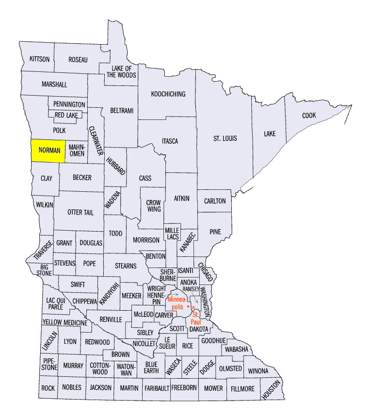
High winds were common across northern Minnesota, northern Wisconsin and the U.P. of Michigan on September 19-22
(Figure 13). Trees and power lines were toppled in Minnesota on September 19 (Figure 14). An intermittent tornado also tracked through Norman County. Several hail reports were reported in central Wisconsin on September 20, while strong winds were reported in northern Minnesota on September 21. Scattered hail and thunderstorm wind reports also occurred on September 22 in northern Wisconsin and the U.P. of Michigan.
Drought Coverage Expands
Despite decreased drought coverage in northwestern Minnesota from wet weather, drought area increased in the Midwest according to the September 21 U.S. Drought Monitor
(Figure 15). More than a tenth of the Midwest was considered to be in drought. New areas where drought was introduced included south-central Lower Michigan, west-central Indiana and southeastern Wisconsin. Drought in southern Iowa also expanded into extreme northern Missouri. An estimated six million people were living in drought affected areas.
-BJP-