June 15-21, 2017
Midwest Weekly Highlights - June 15-21, 2017
Wet for Most, Dry in Minnesota
Heavy rain occurred across most of the Midwest during the third week of June
(Figure 1). Rainfall of more than an inch was reported on five of the seven days in the period across the region. This widespread precipitation led to most of northern Missouri, Illinois, eastern Wisconsin and Michigan to have more than twice the normal amount (Figure 2). Over 100 daily precipitation records were recorded, with Minnesota the only Midwestern state to not record a station record
(Figure 3). Minnesota was very dry for the week. Most of the state received less than half-an-inch of precipitation, which in many cases was less than half the normal amount. Drier weather was also common in northwestern Iowa, southern Missouri and northern Ohio.
Hot Weather Continues
Temperatures remained above normal for many across the Midwest (Figure 4). Eastern Ohio was the warmest at 3-5°F above normal, while Lower Michigan, Indiana, Kentucky, Illinois, Missouri and southern Iowa were only 1-3°F above normal. Near-normal temperatures were common across northern Iowa, southern Minnesota, Wisconsin and the U.P. of Michigan. A few areas in northern Minnesota were slightly below normal.
Large Hail and Strong Winds
Nearly 500 wind and hail reports were witnessed across the Midwest in another active week of severe weather (Figure 5). Severe weather was reported on each of the seven days in the period, with more than 100 reports on each day from June 15-17.
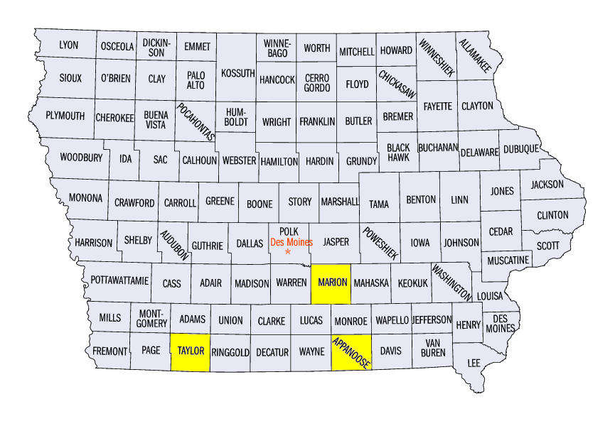
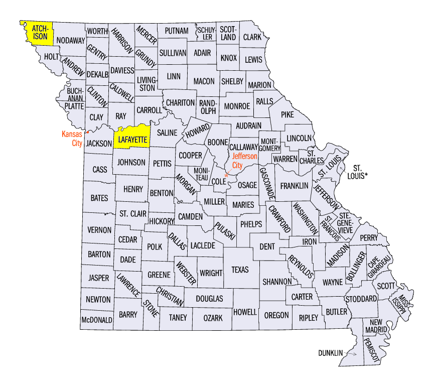
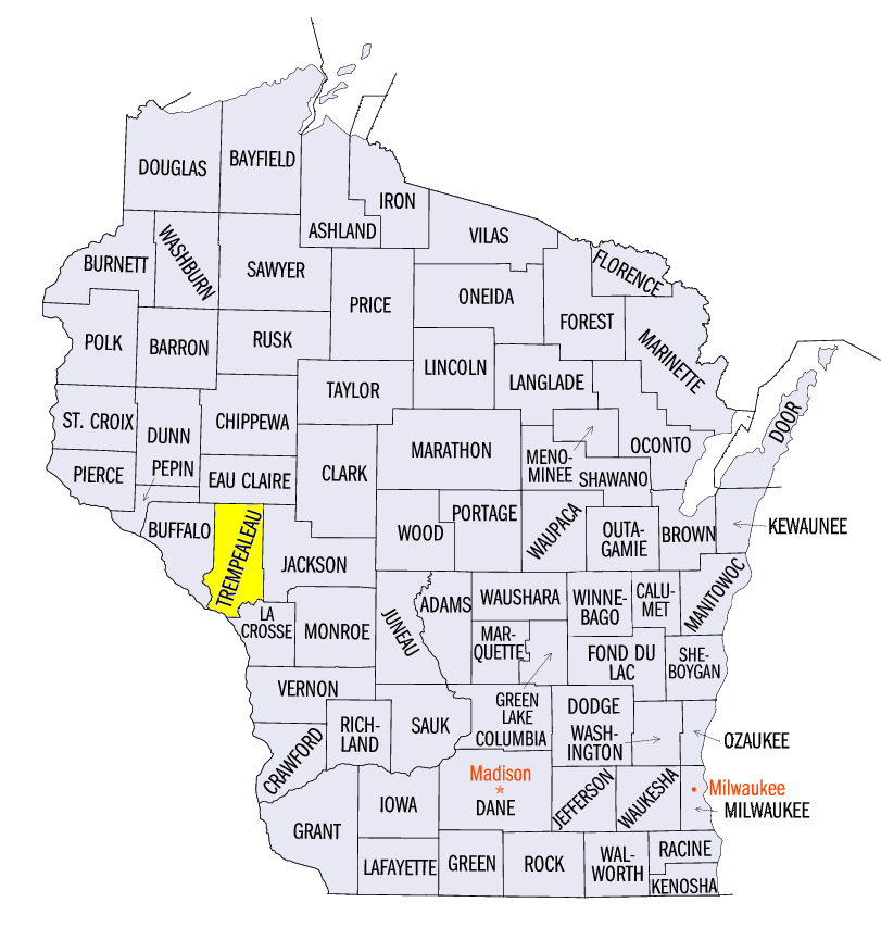
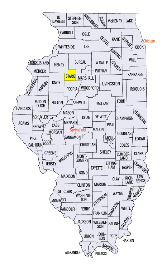
Large hail was widespread across Iowa on June 15 (Figure 6). At least a half-dozen reports of two-inch or greater hail occurred, including 2.75 inch diameter hail near Knoxville and Melcher-Dallas, IA (Marion County). Strong winds along the western border of Iowa and Missouri on June 16 caused damage at campsites (Figure 7). An injury was reported near New Market, IA (Taylor County) where three camper trailers were blown from their campsites into a lake. Several wind gusts of over 75 mph were reported in Missouri, including an 88 mph wind gust at a wind farm near Westboro, MO (Atchison County). Large hail and strong winds were found in thunderstorms in southeastern Minnesota and western Wisconsin. Several reports of 2.5 inch hail were reported in Trempealeau County, WI. Strong thunderstorms continued on June 17 in Missouri, eastern Iowa and Illinois (Figure 8). Hail in southeastern Iowa was as large as three inches in diameter near Centerville, IA (Appanoose County). Wind gusts of 75-80 mph were reported in Missouri. The strongest wind gust was in Illinois, however, near Wyoming, IL (Stark County) at 85 mph. An EF-0 tornado was also surveyed near Odessa, MO (Lafayette County), where shingles were blown off a roof and tree branches were felled.
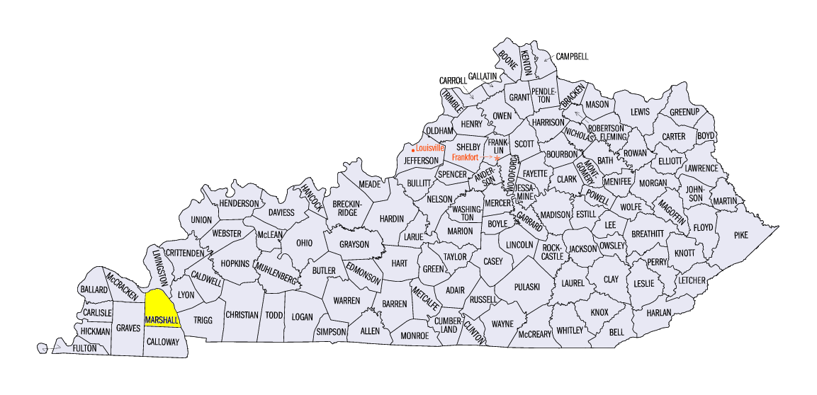
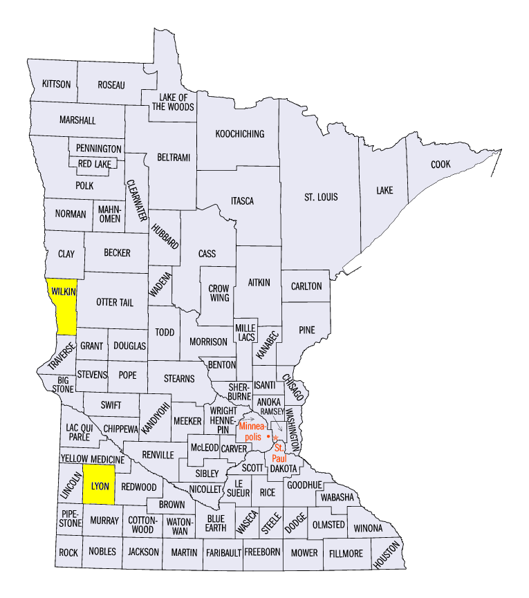
Scattered severe weather reports continued during the remainder of the period. Several of these reports were significant. A microburst was surveyed near Draffenville, KY (Marshall County) on June 18, with estimated winds of 85 mph. Two-inch hail was reported near Lynd, MN (Lyon County) on June 21. A tornado was also reported on June 21 near Foxhome, MN (Wilkin County).
-BJP-