April 2017
Monthly Overview - April 2017
Wet April for a Majority of the Midwest
April precipitation totals were above normal for a majority of the region, with the highest departures in Missouri
of more than 300% of normal
(Figure 1). Other areas with significantly above-normal precipitation include portions of southern Illinois, northern Wisconsin, and the U.P. of Michigan. On the other hand, areas of northern Minnesota and central Kentucky received less than half their normal April precipitation. Monthly precipitation totals ranged from only half an inch to over 15 inches in Missouri (Figure 2).
Missouri's preliminary statewide average precipitation was 9.81 inches, which would be the wettest April on record for the state since 1895. Tecumseh, MO (Ozark County) received 17.48 inches of precipitation in April, which broke the previous monthly precipitation record of 14.43 inches set in 1957. Much of the significant precipitation in Missouri fell on April 29 and 30. Tecumseh received nearly half of its record-breaking monthly precipitation over this two-day period. The heavy rainfall caused major flooding along many rivers and streams in late April. In Missouri, two deaths were reported after cars were swept off the road and over 100 rescues and evacuations were needed across the state. In addition to Missouri's record-breaking precipitation, Illinois, Michigan, and Wisconsin all had statewide averages for April precipitation that fell among their top 10 wettest.
Snow fell in April in some areas of the Midwest. Over 5 inches of snow was reported throughout the month in portions of northern Minnesota, northern Wisconsin, the U.P. of Michigan, and northeast Ohio (Figure 3). In the U.P. of Michigan, some areas received 10-12.5 inches over the course of the month. The monthly snowfall totals were up to four inches above normal in Minnesota, Wisconsin, and Ohio, but six to over eight inches below normal in the U.P. of Michigan (Figure 4).
Widespread Above-Normal Temperatures
April temperatures were above normal across a majority of the Midwest, with the exception of near-normal temperatures in portions of Minnesota, Wisconsin, and Iowa (Figure 5). In Indiana, Ohio, and Kentucky, some areas were 5°F to 7°F above normal. Much of the unseasonably warm temperatures were persistent throughout the month. However, there were some cooler spells with below-normal temperatures in some locations during the second half of the month. The preliminary statewide average temperatures in Kentucky and Ohio were the 2nd warmest on record and Indiana was 4th warmest. Many cities including Akron (OH), Cleveland (OH), Cincinnati (OH), Louisville (KY), Detroit (MI), and Lansing (MI) experienced their warmest April on record.
Extreme temperatures throughout the month included widespread 80°F temperatures on April 19 (Figure 6) and April 29
(Figure 7). On the other hand, below-freezing temperatures made their way back to the region in late April as well. For several consecutive days, minimum temperatures below 30°F were widespread across the Upper Midwest (Figure 8). While freezes are not uncommon at this time of year, the mild weather prevailing for much of the early spring accelerated development of horticultural crops and as a result, left them more susceptible to freeze damage. At this time, no widespread damage has been reported from the late April freeze events.
Midwest is Free of Abnormally Dry Conditions
Due to the heavy precipitation in April, the entire Midwest is now free of any abnormally dry conditions on the May 2nd U.S. Drought Monitor (Figure 1). The last time this happened in the Midwest was 15 years ago in May 2002. The removal of abnormally dry and drought conditions is an improvement from the beginning of April. On the April 4th U.S. Drought Monitor, 2.5% of the region was in Moderate Drought and an additional 16% was abnormally dry (Figure 10).
Growing Season Update
Despite the rainy April conditions for many, corn and soybean planting progressed throughout April, with some states ahead of the 5-year average. Missouri, Illinois, Indiana, and Ohio are ahead of the 5-year average for planting corn (Figure 11) and the same states are also ahead for planting soybeans with the exception of Missouri, which is right at the 5-year average (Figure 12). Minnesota is the most behind the 5-year average, with only 12% of corn planted (24% behind the average) and no soybeans planted yet (6% behind the average). The wet conditions at the end of April may require replanting of some crops.
Active Month for Severe Weather
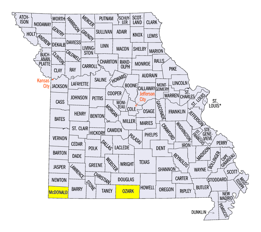
Overall, April was a pretty active month in terms of severe weather. There were just over 800 severe weather reports throughout the month, including tornado, high wind, and large hail reports. A significant amount of the month's severe weather occurred during the first ten days of April. From April 4-5, there were several tornadoes reported, including an EF-2 tornado in Goodman, MO (McDonald County). In addition, wind gusts up to 70 mph occurred in the U.P. of Michigan and a 2.5-inch hailstone was reported in Iowa. The last week of April was also active for severe weather, when over 250 reports high wind, large hail, and tornadoes were reported.
-MW-
Extension Climatologist for the MRCC and Illinois-Indiana Sea Grant.
The Iowa Climatology Bureau also contributed to this report.
The Missouri Climate Center also contributed to this report.