October 22-31, 2018
Midwest Weekly Highlights - October 22-31, 2018
Autumn Chill
Most of the Midwest had near to colder than normal temperatures during the period
(Figure 1). However, areas in the eastern half the Midwest were much cooler than to the west. Parts of Lower Michigan and northern Ohio were 3-5°F below normal, while most of Iowa, Wisconsin, Illinois and Missouri were near to 3°F below normal. Several dozen daily low maximum and minimum temperature records were tied or broken during the period (Figure 2). A few areas in extreme northwestern Iowa, southwestern Minnesota and northern Minnesota were slightly above normal.
Mostly Dry
Most of the Midwest received lower amounts of precipitation during the period of less than an inch
(Figure 3). Only a few areas in central Illinois, eastern Ohio, central Lower Michigan and northern Minnesota had more than an inch. This was significantly above the normal amount in Ohio and northern Minnesota (Figure 4). Meanwhile, Iowa, Missouri and the Ohio River Valley were very dry. Most of Iowa had less than a quarter the normal amount of precipitation. The lack of rainfall allowed the Mississippi River to slowly recede from recent flooding
(Figure 5). Drought remained a non-factor in the region as less than six percent of the region was considered abnormally dry or in drought according to the October 30 U.S. Drought Monitor (Figure 6).
Severe Weather October 28 & 31
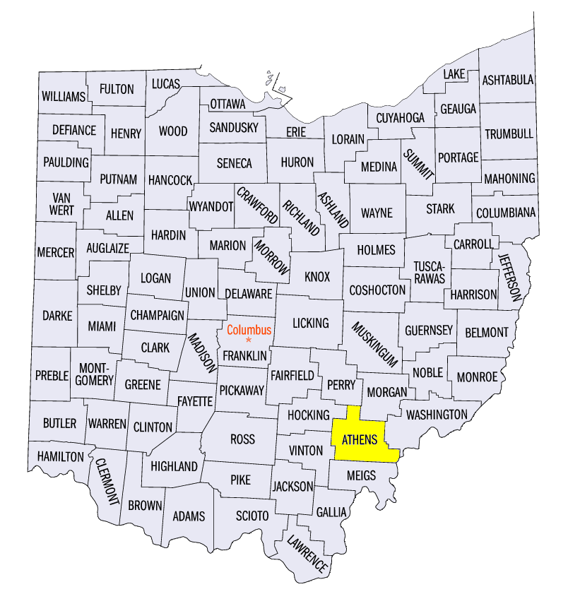
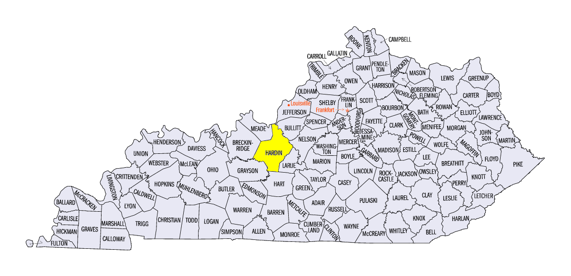
Isolated severe weather was observed in Ohio on October 28 and in northern Kentucky on October 31
(Figure 7). In Ohio, isolated hail was reported along with a weak EF-0 tornado near Connett (Athens County). Strong winds were reported in Kentucky on October 31, along with an EF-1 tornado that damaged outbuildings near Rineyville (Hardin County). These reports were on the far northern end of a tornado outbreak in the south from eastern Texas through Mississippi (Figure 8).
-BJP-