September 10-16, 2018
Midwest Weekly Highlights - September 10-16, 2018
Blast of Summer Heat
Temperatures were warmer than normal across the Midwest, with a blast of heat across the Upper Midwest
(Figure 1). Most of Minnesota, northwestern Iowa, northwestern Wisconsin and the U.P. of Michigan were 7-10°F above normal. Parts of southern Minnesota were 10-12°F above normal. Maximum temperatures in the 80s were common, with some areas reaching the low 90s on September 15 (Figure 2). Dozens of high temperature records were broken across the region, with many of these in Minnesota
(Figure 3).
Drying Out
After a very wet first week of September, most of the region experienced very dry conditions (Figure 4). Most of southern Minnesota, Wisconsin, Iowa, Missouri, Illinois, Indiana and Michigan had less than a quarter inch of rainfall. A few areas in eastern Kentucky and Ohio had more than an inch of rainfall as the systems that brought heavy rain exited the region through the morning of September 10. Northern Minnesota also had areas of 1-2 inches of rain. This was more than twice the normal amount in both of these areas
(Figure 5).
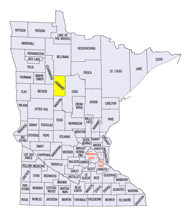
Northern Minnesota Severe Weather
Only a few areas of Northern Minnesota had severe weather during the period, as stormy conditions were suppressed across most of the region (Figure 6). Several reports of large hail were observed on September 12 in the extreme northern reaches of the state
(Figure 7). Strong winds and hail were also reported on September 14 (Figure 8). A two-inch hailstone was reported near LaPorte (Hubbard County). Winds snapped trees as well near the Duluth metro area.
Flooding Continues
While drier weather allowed waters to recede after a week of extreme precipitation to start September, flooding continued along several larger rivers in the region
(Figure 9). Major Flooding occurred along both the Rock River in Wisconsin (Figure 10) and the Mississippi River on the Iowa/Illinois border
(Figure 11). Minor Flooding was also common further south along the Missouri/Illinois border north of St. Louis.
Drought Slowly Improving
Improvements were seen once again in the U.S. Drought monitor for September 11 (Figure 12). Missouri continued to see some of the largest improvements, as Extreme and Severe Drought decreased significantly from the prior week. More than 40 percent of the state remains in drought, however
(Figure 13). Drought coverage across the Midwest has been more than halved since August 14 (Figure 14). Contributing factors to this improvement were a very wet end to August and start to September and decreased demand from crops as the harvest season begins.
-BJP-