May 22-31, 2018
Midwest Weekly Highlights - May 22-31, 2018
Record Heat
An exceptionally warm air mass brought record heat to most of the Midwest during the period (Figure 1). The entire region was 7°F or more above normal, with Minnesota, Iowa and Wisconsin 12-14°F above normal. Maximum temperatures were even more above normal in every state except Kentucky (Figure 2). Western Iowa and southern Minnesota had maximum temperatures 15-17°F above normal. Maximum temperatures in these areas averaged in the upper 80s to low 90s (Figure 3). Maximum temperatures also reached 100°F at several stations on May 27 (Figure 4) and May 28 (Figure 5).
More than 1,300 combined daily high maximum and minimum temperature records were broken during the period, with more than 800 of these from maximum temperatures (Figure 6). Most of these records occurred during the Memorial Day weekend. More than 200 records fell through the mornings of May 27
(Figure 7) and May 29 (Figure 8), while more than 300 fell through the morning of May 28
(Figure 9). The Indianapolis 500 on May 27 tied for the second hottest on record at 91°F. More than 200 fans were treated for heat illness at the race. Heat-related illnesses were also reported across the region from increased outdoor activity.
A Few Wetter Areas
Several rounds of storms led to moderately heavy amounts of precipitation in northwestern Wisconsin, eastern Minnesota and the Ohio River Valley during the week (Figure 10). More than two inches fell across parts of Minnesota, Wisconsin and Ohio, while areas in western Kentucky received more than three inches. In most cases, this was one and a half to two times the normal amount
(Figure 11). Meanwhile, dry weather continued across most of Iowa and Missouri. Southern Iowa and eastern Missouri had less than half the normal amount of precipitation.
Subtropical Storm Alberto Impacts Midwest
The post-tropical remnants of Subtropical Storm Alberto tracked through the Midwest on May 30 (Figure 12). While winds from the storm were not a major impact, moderate amounts of rainfall fell across Illinois, Kentucky, Indiana, Wisconsin, Michigan and Ohio. Alberto moved into southern Kentucky as a post-tropical depression during the early morning hours of May 30
(Figure 13). The storm then quickly moved northeast through Indiana and Michigan during the afternoon and evening hours, maintaining a distinct center of circulation. Rainfall in western Kentucky mainly fell through the early morning of May 30 (Figure 14), before moving northward during the day
(Figure 15). Thunderstorms formed around the edges of the circulation, causing airport delays in Chicago and other hubs. Strong winds from these thunderstorms were reported in northern Indiana, western Ohio and Lower Michigan (Figure 16).
Widespread Severe Weather
Reports of strong winds, hail and tornadoes were common across the Midwest, as at least one storm report occurred on each day during the period
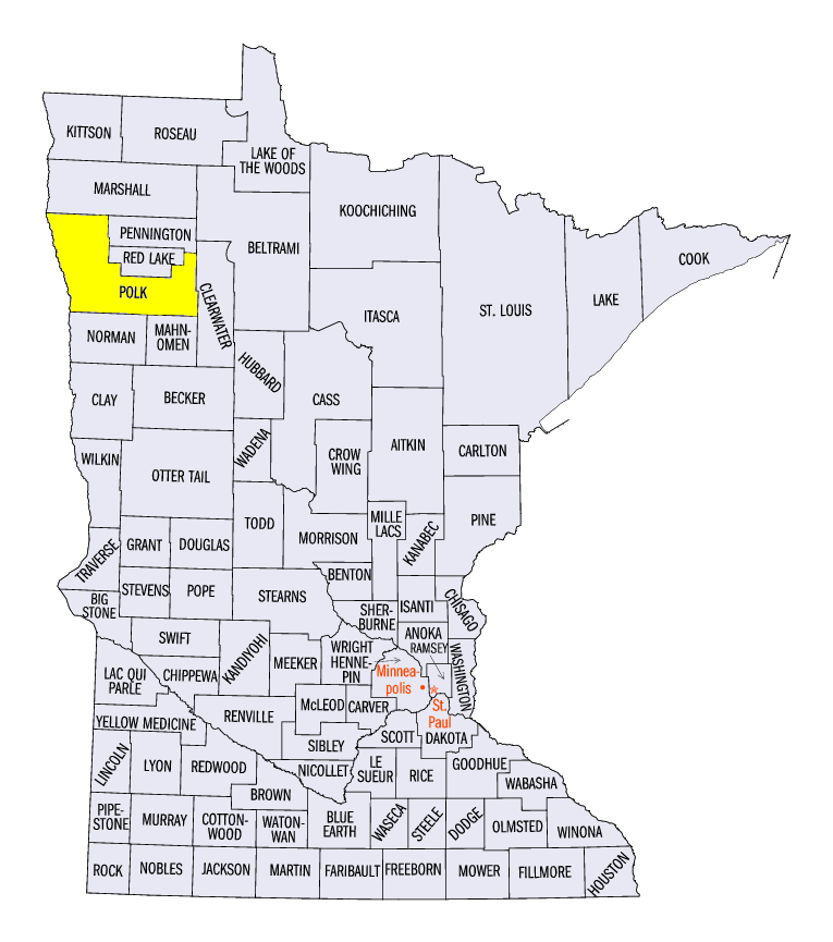
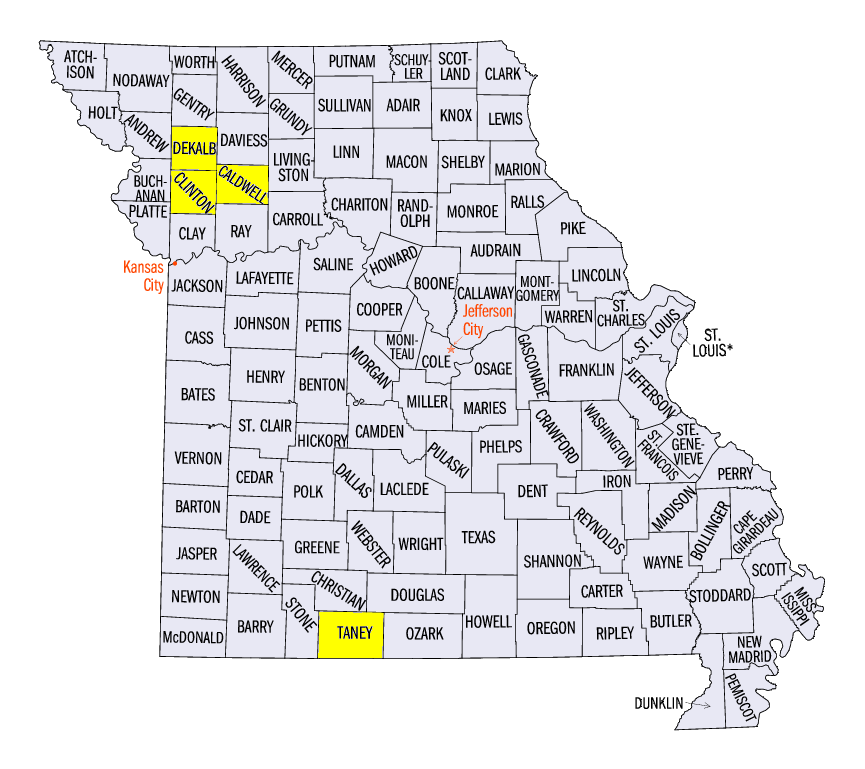
(Figure 17). Damaging winds were reported in northeastern Ohio on May 22 and in Minnesota on May 24. A 75 mph wind gust was reported near Crookston, MN (Polk County), where steel roofing was torn back. Scattered wind and hail reports were common across the Upper Midwest on May 25-30, with six landspout tornadoes reported that caused no significant damage. Two-inch hail was also reported in several locations during that period. Widespread strong winds impacted the Ohio River Valley on May 31 (Figure 18). Large hail was reported in Missouri as the storms began in the afternoon, including a 2.75 inch diameter report near Forsyth (Taney County). As the storms moved east, strong winds with gusts over 60 mph were reported. A 78 mph wind gust was measured at the Mt. Vernon, IL Airport (Jefferson County). An injury was also reported near Newton, IL (Jasper County) when a semi-trailer blew over. In total, more than 770 storm reports were reported during the period.
)
Severe Drought Added in Northwestern Missouri
While overall drought coverage in the Midwest decreased to under four percent, several counties in northwestern Missouri had severe drought introduced in the May 29 U.S. Drought Monitor
(Figure 19). Most of Clinton, DeKalb and Caldwell counties were in severe drought. Moderate drought remained across most of northern Missouri and southern Iowa, while abnormally dry conditions continued in northern Minnesota, northern Wisconsin and the U.P. of Michigan.
-BJP-