February 2018
Monthly Overview - February 2018
Temperature Contrast
February temperatures across the Midwest ranged from well below-normal in the northwest to well above-normal in the southeast. Departures from normal temperatures ranged from 8°F below normal in western Minnesota to 8°F above normal in southeastern Kentucky
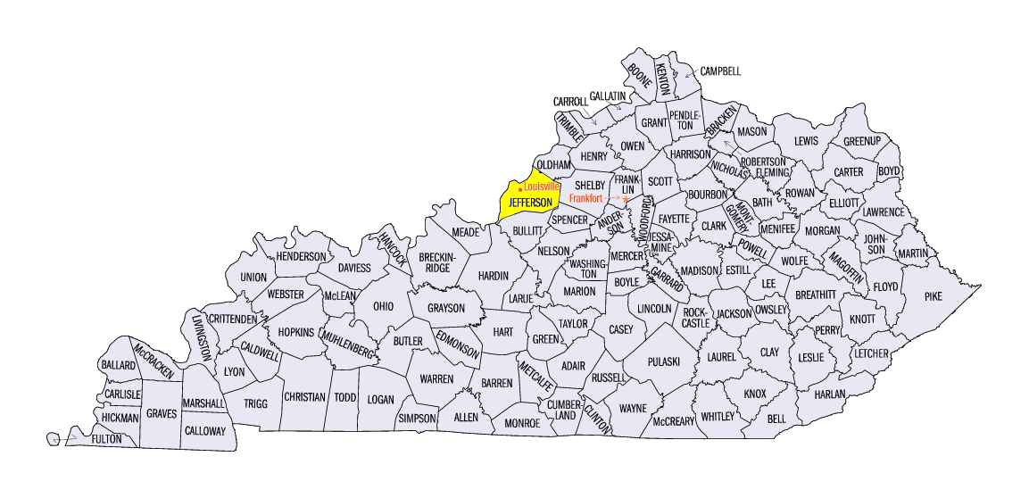
(Figure 1). Very warm temperatures pushed north into Kentucky and Ohio latter half of the month with new record highs in Louisville, Kentucky
(Jefferson County) set for both minimum temperature (66°F, old record 55°F) and maximum temperature (82°F, old record 76°F) on the 20th. Readings pushed into the 80s in southern Ohio on the 20th-22nd as well with 70s reaching across much of Ohio, Indiana, and southern Illinois on the 20th (Figure 2). Earlier in the month, very cold temperatures pushed across much of the Midwest with below zero readings in every state except Kentucky where readings fell into the single digits
(Figure 3). Some stations in Indiana and Ohio had temperature ranges in February of 75°F, and even 80°F, from their lowest readings to their warmest readings. For the Midwest as a whole, daily temperatures ranged from below -40°F in northeastern Minnesota early in the month to more than 80°F later in the month in Kentucky.
Record Precipitation
February precipitation, at more than double the normal amount, set a new record for the Midwest easily surpassing the old record from 1908. Statewide records were also set for Illinois, Indiana, and Missouri while Ohio ranked 2nd and both Michigan and Kentucky ranked 3rd wettest. The three remaining states in the northwestern Midwest also ranked among the wettest 25% of their histories. Large parts of the region had more than 200% of normal (Figure 4) including northeastern Minnesota, southern Missouri, southern Michigan, all of Kentucky, and nearly all of Illinois, Indiana, and Ohio. Just a few smaller areas were below normal in northwestern Minnesota, part of Upper Michigan, southwestern Iowa, and northwestern Missouri. The first half of the month
(Figure 5) had above normal precipitation from Iowa to southern Michigan and in much of Kentucky. The totals in southeastern Kentucky topped 300% of normal for the 1st to the 14th. The latter half of the month (Figure 6) was extremely wet for much of the region with precipitation totals topping 400% of normal, and even 500% of normal in some locations, from southern Missouri up to southwestern Michigan and also along the Ohio River into central Ohio.
Record Flooding
Widespread flooding in the eastern and southern Midwest occurred in late February
(Figure 7). In northern Illinois and Indiana, major flooding occurred on several rivers. In the Kankakee River Basin, the Yellow River (Figure 8) at Plymouth, Indiana
(Marshall County) crested at over 17.6 feet, staying above the 1982 record crest of 16.37 feet for days. The flooding in northern Illinois and Indiana was due to the heavy rains, melting of recent snows, and frozen ground that prevented absorption into the soils. Moderate to major flooding was also noted along the Ohio River. For the lower basin, the river reached its highest levels since 2011 and in the mid section of the river, the levels were the highest since 1997. More than 1000 structures were impacted by flooding on the Ohio River. Across the region, numerous rescues were needed to extract people from precarious spots and at least five deaths were reported. Kentucky declared a statewide emergency and parts of Missouri, Illinois, Indiana, and Ohio have also been declared disasters due to flooding.
Rains Ease Drought
Extreme drought in Missouri expanded in early February. The area of Missouri with extreme drought rose to over 5% of the state in the February 13th US Drought Monitor
(Figure 9). After a slight drop the following week, all extreme and severe drought was removed from the state, and the entire region, as of the February 27th US Drought Monitor (Figure 10). Missouri was without severe drought for the first time since October and the state had just 16% of the state in moderate drought. The Midwest ended the month with less than 5% of the region (in Missouri, Iowa, and Minnesota) in drought which was the lowest percentage since July.
Winter Snow
Snow totals in the Midwest were generally below normal in the southern half of the region and a mix of above and below normal in the northern half
(Figure 11). Lake-effect snow was responsible for some of the areas with above-normal snow. In February, multiple snow storms added to the seasonal totals. On the 5th to the 7th (Figure 12), snow stretched from Iowa to northern Indiana with totals topping 10 inches in Altona, Illinois
(Knox County). Hundreds of accidents in Iowa, including a multi-car pileup on I-35, led to at least nine fatalities. On the heels of that storm, a slow moving storm moved from Iowa to Lower Michigan on the 8th through the 12th
(Figure 13). Snow totals topped 15 inches in northeastern Illinois and southwestern Michigan. Chicago
(Cook County) recorded nine straight days, February 3rd to 11th, with at least 0.2 inches of snow each day, the longest such streak in Chicago history. Later in the month, 23rd to 25th, while heavy rains fell to the south and east, heavy snows fell in northern Minnesota, northern Wisconsin, and Upper Michigan (Figure 14). Widespread 5-10 inch totals were seen with a few totals topping 17 inches.
Winter Precipitation
Despite the record wetness in February, the winter precipitation totals were much closer to normal. The region had 109% of normal for the winter with statewide values ranging from 90% of normal in Iowa to 123% of normal in Kentucky. Winter values ranged from just under 50% of normal in a small area of northwestern Missouri to over 150% of normal just off Lake Michigan along the Indiana-Michigan border
(Figure 15). Southern Missouri and much of the Ohio River Basin were above normal for the season.
Winter Temperatures
The winter saw big swings of temperatures that largely averaged out to near normal in the southeastern two-thirds of the Midwest and slightly below-normal in the northwestern third of the region (Figure 16). Departures of more than 2°F were limited to parts of Iowa, Minnesota, Wisconsin, and Upper Michigan. The daily weather during the season swung back and forth from warm to cold several times. Very cold temperatures enveloped the region for the last week of December and the first week of January. Departures from normal ranged from 12°F to 25°F below normal for the two-week period
(Figure 17). Very warm temperatures across the region in the last 10 days of January ranged from 5°F to 11°F above normal (Figure 18).
-MST-