January 22-31, 2018
Midwest Weekly Highlights - January 22-31, 2018
Warm Across the Region
Temperatures were warmer than normal across the entire Midwest
(Figure 1). Areas in eastern Iowa, southern Wisconsin, northern Illinois, northern Indiana, northwestern Ohio and southern Lower Michigan were the warmest at 7-10°F above normal. The remainder of the region was mostly 4-8°F above normal. More than 200 daily high temperature records were broken during the period (Figure 2). Maximum temperatures reached the 50s and low 60s across the southern half of the region on several days, including January 26
(Figure 3).
Wet and Snowy for Many
Precipitation amounts of a half inch to an inch were common across most of the Midwest (Figure 4). Parts of Iowa, southern Minnesota, southern Wisconsin. Southern Missouri and western Kentucky received more than an inch. This translated to more than twice the normal amount across Iowa, southern Minnesota and Wisconsin
(Figure 5). However, Kentucky was below normal (Figure 6). Snowfall was largely limited to the northern half of the region
(Figure 7). A major winter storm brought most of the snowfall to western Iowa, southern Minnesota and northern Wisconsin. Several days of lake-effect snow also contributed to totals in Michigan and northern Ohio.
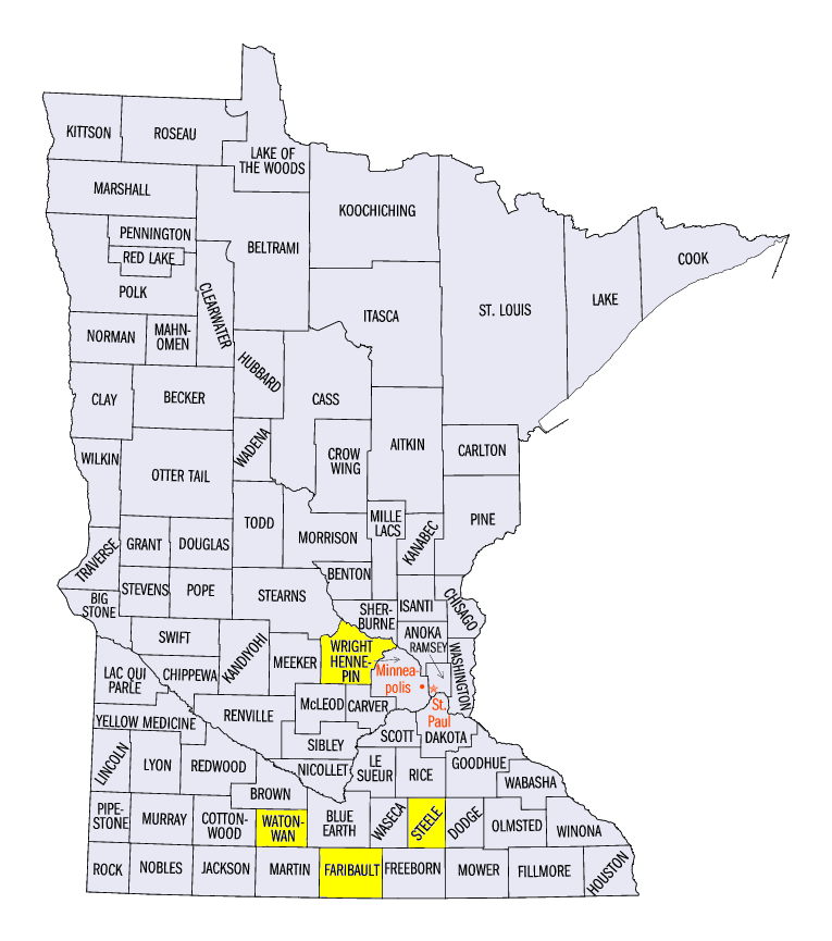
January 22-23 Winter Storm
A major winter storm on January 22-23 brought 6-12 inches of snowfall to western Iowa, southern Minnesota and northern Wisconsin (Figure 8). This storm had snowfall only along a narrow band. The Minneapolis/St Paul, MN Airport recorded 12.4 inches, while a CoCoRaHS observer 40 miles to the northwest near Monticello, MN (Wright County) received only a trace. Some of the heaviest totals included 19.9 inches in Kennebec, IA (Monona County), 17.0 inches in Winnebago, MN (Faribault County), 15 inches in Owatonna, MN (Steele County) and 15 inches in St James, MN (Watonwan County). Further east, strong thunderstorms rolled through Indiana, Ohio and Kentucky, leading to several dozen wind and hail storm reports
(Figure 9). Trees were uprooted while several outbuildings were also damaged due to wind gusts up to 60 mph.
-BJP-