September 10-16, 2019
Midwest Weekly Highlights - September 10-16, 2019
September Heat
Warm weather returned to most of the Midwest during the period (Figure 1). Most of the mid-Mississippi and Ohio river valleys were 6-8°F above normal, with lower Michigan, Wisconsin and southern Minnesota 1-4°F above normal. Maximum temperatures were even hotter in the Ohio River Valley at 9-12°F above normal (Figure 2). Maximum temperatures reached the upper-90s on September 10
(Figure 3) and September 13 (Figure 4) in Kentucky. Heat index values over 100°F were also recorded
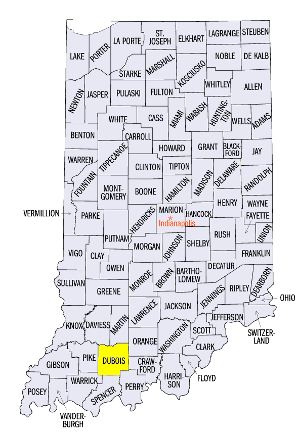
(Figure 5). Some of the hottest temperatures during the period included 101°F at Taylorsville Lake, KY (Spencer County), 100°F in Lexington, KY (Fayette County) and 100°F at Patoka Lake, IN (Dubois County). In total, more than 330 daily high maximum and minimum temperature records were tied or broken across the region (Figure 6).
Wet North, Dry South
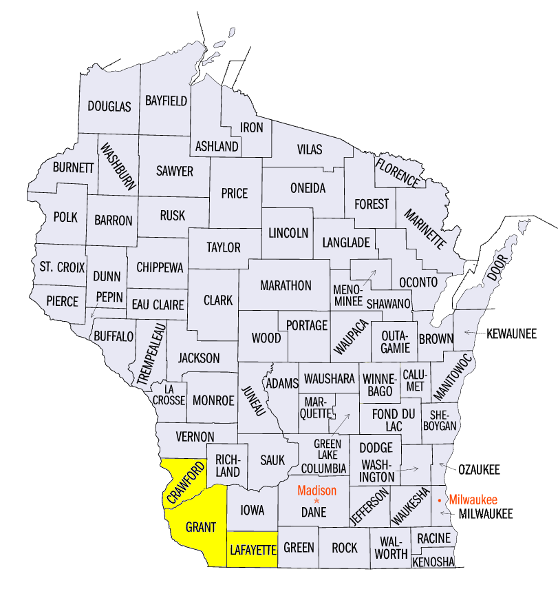
Rain and thunderstorms impacted the Upper Midwest throughout the period, leading to flash flooding (Figure 7). Amounts of 3 or more inches fell from southern Minnesota through central and southern Wisconsin, northeastern Iowa and northern Illinois. Isolated amounts over 6 inches were also recorded in southwestern Wisconsin and southwestern Minnesota. While moderate to heavy rain fell on at least five days during the period, on of the wettest was through the morning of September 12 (Figure 8). Flash flooding was reported near Prairie Du Chien, WI (Crawford County) and in communities along the Mississippi River in Grant County, WI. Some of the heaviest totals for the period included 10.58 inches in Lancaster, WI (Grant County), 8.51 inches in Pipestone, MN (Pipestone County) and 7.96 inches in Cuba City, WI (Lafayette County). More than 150 daily precipitation records were set across the region (Figure 9).
Meanwhile the southern Midwest was almost completely dry (Figure 10). Most of Missouri, southern Illinois and the Ohio River Valley had less than a quarter inch of rainfall. The lack of rainfall was felt most in Kentucky, where drought was introduced in the September 12 U.S. Drought Monitor
(Figure 11). Topsoil moisture was drying out while shortages of 3-6 inches were reported as contributing factors.
Severe Weather & Tornadoes
Severe thunderstorms were reported during several days during the period (Figure 12). Several tornadoes were also reported on September 12
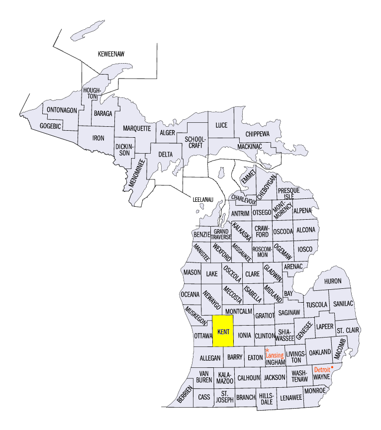
(Figure 13) in northeastern Iowa, rated EF-0. Strong winds were also reported in Michigan on September 11 (Figure 14). Several gusts of 70 mph or stronger were reported. An 80 mph gust was reported near Grand Rapids, MI (Kent County), with a National Weather Service survey finding evidence of speeds up to 100 mph.
-BJP-