July 8-14, 2019
Midwest Weekly Highlights - July 8-14, 2019
Very Dry
Scattered showers and thunderstorms were kept to a minimum across the Midwest as high pressure set in during most of the week
(Figure 1). Amounts of less than half an inch were common across most of Wisconsin, Michigan, Iowa, Illinois, Indiana, western Ohio and Missouri. Most of these areas had less than half the normal amount for the period (Figure 2). The wettest areas were in northwestern Minnesota, where amounts of 3-5 inches fell in total through the mornings of July 9
(Figure 3) and July 10 (Figure 4). Rainfall in these areas was needed as some of these areas were abnormally dry according to the July 9 U.S. Drought Monitor
(Figure 4).
More Heat
Temperatures were near to above normal across most of the Midwest (Figure 6). Only a few areas in northern Michigan and the Arrowhead of Minnesota were slightly below normal. Most of Missouri, southern Illinois and western Iowa was also near normal while the remainder of the region was 1-4°F above normal. Heat Index values were in the 90s across the southern Midwest most of the week, with 100s common on July 10
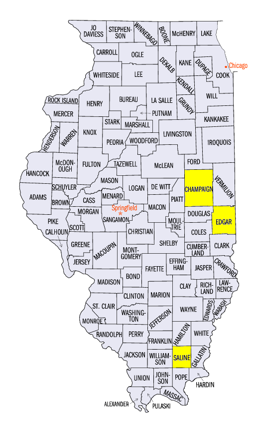
(Figure 7). Some of the highest values were in Illinois, including 113°F at Paris (Edgar County) and near Harrisburg (Saline County).
Strong Winds and Tornadoes
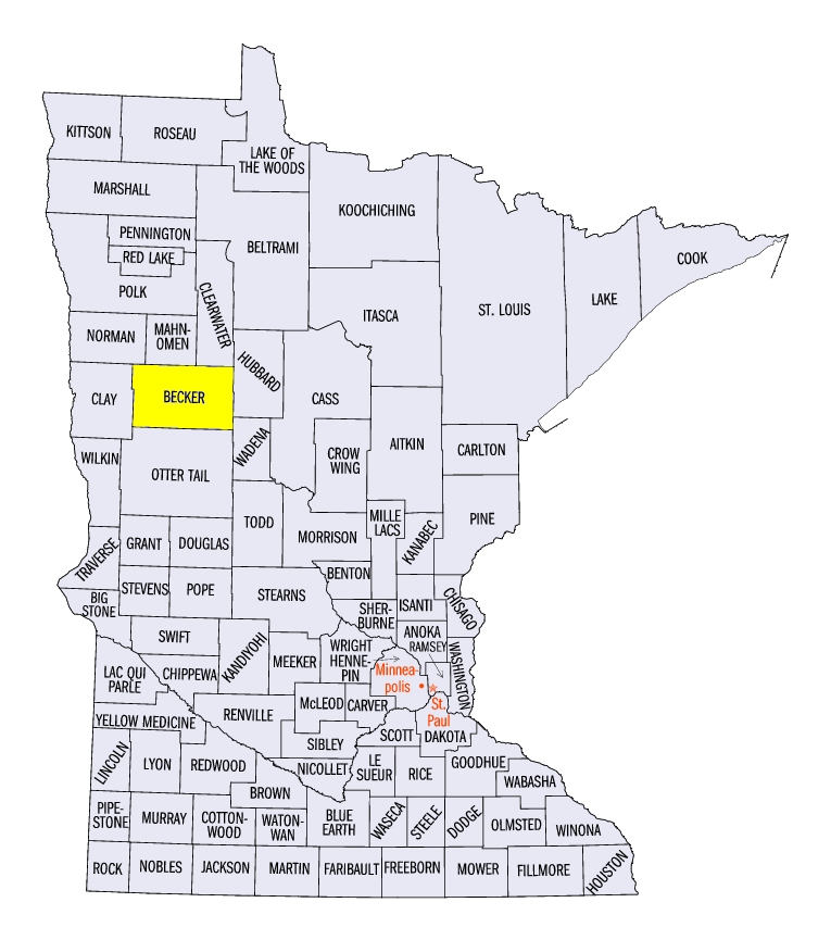
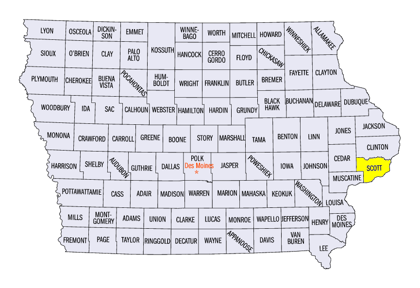
While fewer storms limited precipitation, severe weather still led to more than 150 reports of wind, hail and tornadoes across the region (Figure 8). Many of these storms were in northwestern Minnesota, where several tornadoes were reported. Two-inch diameter hail was also reported near Lake Park, MN (Becker County) on July 14. Scattered strong storms also went through the central Midwest. A 76 mph wind gust was recorded in Champaign, IL (Champaign County) on July 14 while brief tornado touchdowns were reported in Scott County, IA on July 9.
-BJP-