April 8-14, 2019
Midwest Weekly Highlights - April 8-14, 2019
Sharp Temperature Contrast
Temperatures were sharply divided between north and south in the Midwest during the week
(Figure 1). The northern half of the Midwest was much colder than normal, while the southern Midwest was much warmer. Areas of Minnesota were the coldest, with average temperatures 5-8°F below normal. Maximum temperatures were even colder at 10-12°F below normal (Figure 2). Warmer areas in the Ohio Valley were 7-9°F above normal. A moderate number of daily high
(Figure 3) and low (Figure 4) temperature records were broken across the region from these extremes.
Wet and Snowy
Areas of the Ohio River Valley were very wet during the period (Figure 5). Amounts of 1-2 inches were common, with isolated areas up to 3 inches in southern Kentucky. More than an inch of liquid equivalent precipitation was also observed in parts of Minnesota, Wisconsin and U.P. of Michigan. Many of these areas had more than twice the normal amount for the period (Figure 6). Lack of dryness kept the U.S. Drought Monitor free of abnormally dry or drought conditions for the 7th consecutive week (Figure 7). With adequate to surplus soil moisture across the entire region, planting and fieldwork remained challenging.
A good portion of the precipitation in the Upper Midwest fell as snow from a major winter storm (Figure 8). Moderate snowfall also fell in Illinois, southeastern Wisconsin and Lower Michigan on April 14 through the morning of April 15
(Figure 9). A Chicago Cubs game was postponed due to nearly 4 inches of snow that fell during the schedule game time. These storms also generated severe weather in the Ohio River Valley, including several EF-0 tornadoes in Ohio (Figure 10).
April 10-12 Blizzard
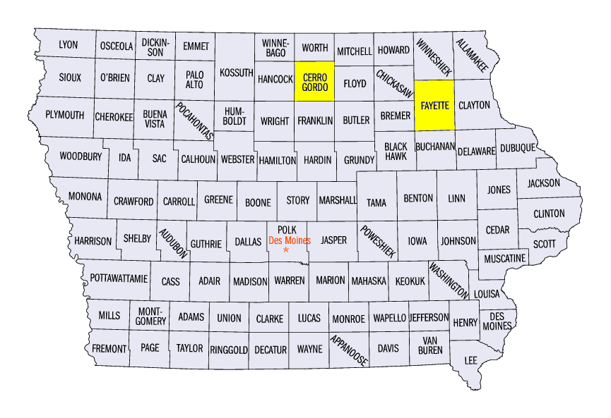
An intense storm system coupled with well below-normal temperatures led to blizzard-like conditions across western Minnesota
(Figure 11). Snowfall began during the day on April 10 through the morning of April 11 (Figure 12). Amounts of 8-12 inches were observed across southern Minnesota into central Wisconsin. Winds began to pick up during the overnight hours of April 11, with sustained speeds from 35-45 mph in southern Minnesota and northern Iowa
(Figure 13). Some of the strongest winds included 45 mph at Duluth, MN (St. Louis County) and 46 mph at Oelwein, IA (Fayette County). A 63 mph wind gust was also reported in Mason City, IA (Cerro Gordo County). Heavy snow continued on April 11 through the morning of April 12 in Minnesota, northern Wisconsin and the U.P. of Michigan, with amounts up to 8 inches (Figure 14). Another few inches fell during the day on April 12 (Figure 15). Some of the heaviest storm totals included 21.0 inches in Dawson, MN (Lac Qui Parle County), 20.5 inches near Milan, MN (Chippewa County) and 18.0 inches near Ortonville, MN (Big Stone County). Dozens of daily snowfall records were broken across the Upper Midwest from the heavy snowfall during the storm
(Figure 16).
Flooding
Major flooding continued along the Mississippi River from the Wisconsin-Illinois border through central Missouri during the week (Figure 17). Crests happened along the river in these areas during the week and slowly receded near the end of the period. Minor to moderate flooding continued along the entire length of the river in the Midwest. Meanwhile, flooding on the Red River reached major flood stage along the Minnesota-North Dakota border during the week
(Figure 18). Crests were quickly reached and had begun to recede in southern areas of the northward-flowing river.
-BJP-