February 15-21, 2019
Midwest Weekly Highlights - February 15-21, 2019
Cold Continues
Temperatures remained colder than normal for a second straight week across most of the Midwest
(Figure 1). Average temperatures in the western half of the region were 8-12°F below normal, with areas in western Iowa and southwestern Minnesota 15-18°F below normal. Minimum temperatures were even colder across Iowa and southern Minnesota, with most areas 16-20°F below normal (Figure 2). Minimum temperatures averaged below zero across most of Iowa, Minnesota and western Wisconsin
(Figure 3).
Heavier Precipitation
Snow and rain led to heavier amounts of precipitation for a majority of the Midwest during the week (Figure 4). Most of Kentucky and parts of the northern Ohio River Valley had more than an inch of precipitation. Some areas in southern Kentucky had more than 3 inches of precipitation. Some of the heaviest amounts included 4.70 inches near Williamsburg (Whitley County), 4.54 inches in London (Laurel County) and 4.40 inches near Stearns (McCreary County). Many of the daily precipitation records broken in the region were in these areas along the Ohio River
(Figure 5). In the Upper Midwest, precipitation amounts of a quarter to three quarters of an inch were common. Most of this precipitation was from snowfall (Figure 6). Many of these areas received more than twice the normal amount for the period, with areas in northwestern Iowa and southeastern Kentucky receiving more than three times the normal amount
(Figure 7).
Multiple Winter Storms
Snow was common across the Upper Midwest during the week, with several impactful winter storms. Hundreds of daily snowfall records were broken as a result (Figure 8). Lake-effect snow through the morning of February 15 started the week (Figure 9). Most of the U.P. of Michigan received 4-6 inches of snow, with heavier amounts over 8 inches in the western U.P. Winds off Lake Superior allowed snow to continue through the morning of February 16 while another storm began to gain strength in Missouri (Figure 10). Amounts of 4-6 inches fell in central Missouri, with lesser amounts in southern Illinois and parts of Kentucky. The storm matured through the morning of February 17, with 4-6 inches of snow across most of Iowa (Figure 11). Isolated amounts up to 8 inches were also reported. Scattered amounts of 4-6 inches fell from eastern Iowa through southern Lower Michigan as the storm moved east through the morning of February 18 (Figure 12). Northwesterly winds off of Lake Michigan enhanced snowfall amounts in southeastern Wisconsin as many received 6-10 inches in these areas.
Another impactful storm dumped 4-8 inches of snow across most of Iowa, Minnesota and most of Wisconsin through the mornings of February 20
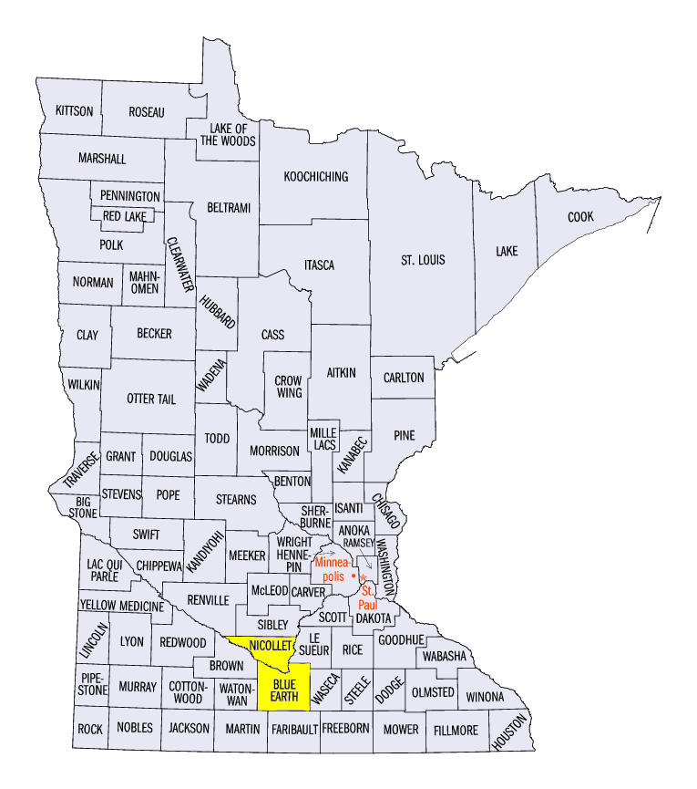
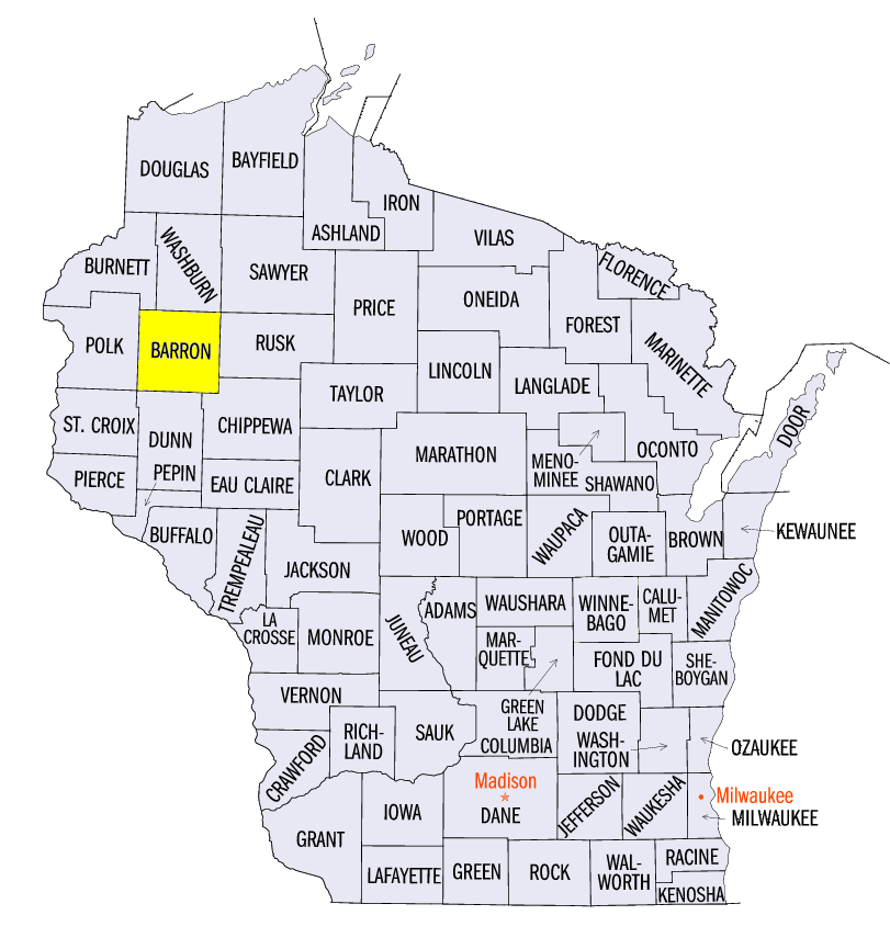
(Figure 13) and February 21 (Figure 14). The heaviest amounts over the two-day period fell from southwestern Minnesota through northwestern Wisconsin, where totals were in the 7-10 inch range with isolated amounts over a foot
(Figure 15). Some of the heaviest amounts included 14.6 inches near New Ulm, MN (Nicollet County), 11.7 inches near Mankato, MN (Blue Earth County) and 10.0 inches near Rice Lake, WI (Barron County).
-BJP-