January 15-21, 2019
Midwest Weekly Highlights - January 15-21, 2019
Temperatures Get Colder
After a warm first few weeks of 2019, temperatures cooled off across the region
(Figure 1). Average temperatures were below normal across Iowa, Minnesota, Wisconsin, Michigan and most of Ohio. The coldest areas were in northern Minnesota at 8-12°F below normal. Most of Michigan was 3-6°F below normal as well. Near-normal temperatures were common across Illinois, western Indiana and most of Kentucky, while few areas in southern Missouri, southern Illinois and western Kentucky were slightly above normal. Contrasts between maximum (Figure 2) and minimum
(Figure 3) temperatures were very pronounced during the period. Above-normal minimum temperatures were widely common across the southern Midwest, while below-normal maximum temperatures were widespread. Several dozen daily low temperature records were set across the region (Figure 4).
Moderate to Heavy Precipitation
A storm system brought moderate to heavy amounts of precipitation to the Midwest during the week
(Figure 5). Amounts of one half to one inch were common in southern Minnesota, eastern Iowa, Illinois, Missouri and northern Indiana. Wetter weather was found in the Ohio River Valley, where more than one inch fell in most areas. Many of these areas had one and a half to two times the normal amount for the period (Figure 6). Dozens of daily precipitation records also were broken (Figure 7). Meanwhile, drier weather was observed across most of the Upper Midwest. Northern Minnesota, northern Wisconsin, western Iowa and parts of Michigan had less than half the normal amount. Snowfall was plentiful during the week (Figure 8). Most of this snow fell during a storm that impacted the region on January 18-20.
January 18-20 Major Winter Storm
A storm system that brought impacts across the United States dumped moderate to heavy snow in every state in the Midwest (Figure 9). The strongest impacts to the region occurred on January 18-20, while the Great Plains and the Northeast were also impacted on preceding and proceeding days (Figure 10). More than 120 daily snowfall records were broken during the event as the storm moved through the Midwest (Figure 11).
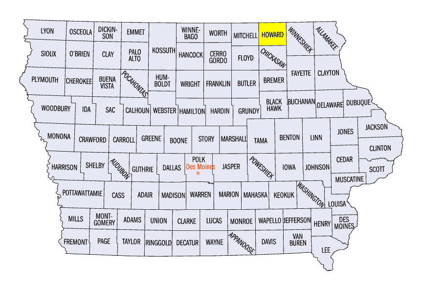
Moderate to heavy snow fell in southern Minnesota, eastern Iowa, southern Wisconsin and northern Illinois during the day of January 18 through the morning of January 19 (Figure 12). Amounts of 4-6 inches were common in these areas. The heaviest amounts fell in extreme southern Minnesota and northeastern Iowa. Amounts of 8-12 inches were observed in these areas. Some of the heaviest amounts for the storm included 12.4 inches in Windom, MN (Cottonwood County), 12.0 inches in Winnebago, MN (Faribault County) and 11.3 inches near Cresco, IA (Howard County).
The storm moved further east on January 19 through the morning of January 20 (Figure 13). Amounts of 3-6 inches were observed from southeastern Missouri through the Ohio River Valley. The heaviest amounts were recorded in northeastern Ohio, where lake effects from Lake Erie increased snow totals. Heavy amounts in Ohio included 14.0 inches in Chardon (Geauga County), 14.0 inches in Mansfield (Richland County) and 12.7 inches near Stow (Summit County). Strong winds were also widespread at 25-35 mph (Figure 14).
Impacts to travel were widespread in the region. The Missouri State Highway Patrol responded to at least 15 stranded motorists and seven non-injury accidents. Roads in Illinois became ice covered quickly as a mix of rain with snow froze as temperatures decreased. More than 900 flights out of Chicago’s Midway and O’Hare Airports were canceled due to the storm. A United Airlines flight also skidded off a runway at Chicago O’Hare due to the deteriorated weather.
-BJP-