October 2020
Monthly Overview - October 2020
Varying Precipitation
Wetter conditions across the Ohio River Valley and Great Lakes were offset by drier conditions in the corn belt, leading to near-normal precipitation across the Midwest in October
(Figure 1). Total precipitation for the region was 3.13 inches, which was 0.12 inches above normal. Major differences in precipitation were observed, with areas in southern Missouri receiving more than 6 inches while northwestern Missouri had less than one inch. This led to areas well above and well below normal (Figure 2). After a dry first half of October
(Figure 3), precipitation amounts increased significantly in the second half (Figure 4), as a major storm stalled across the Upper Midwest, and the remnants of Hurricane Zeta dropped heavy rain on the southern Midwest. A total of more than 420 daily precipitation records were broken across the region
(Figure 5), with many across the Ohio River Valley, southern Minnesota and southern Wisconsin.
Unseasonable Cold
Extreme cold impacted the Midwest on multiple occasions in October, leading to well below-normal temperatures (Figure 6). Regionwide temperatures were 47.9°F which was 3.1°F below normal. This ranked as the 13th coldest October on record (1895-2020) and was the 2nd coldest October in the 21st century behind 2009. While moderate temperatures were common across the first half of October
(Figure 7), several arctic air outbreaks led to freezing temperatures across a large portion of the region. Minnesota was the most affected by the cold, experiencing their 5th coldest October on record (1895-2020). Wisconsin also had their 7th coldest October on record (1895-2020). The coldest period during the month was from October 25-29 (Figure 8), where more than 100 daily low maximum temperature records were broken or tied each day during that period. October 27 alone had more than 200 daily low maximum temperature records
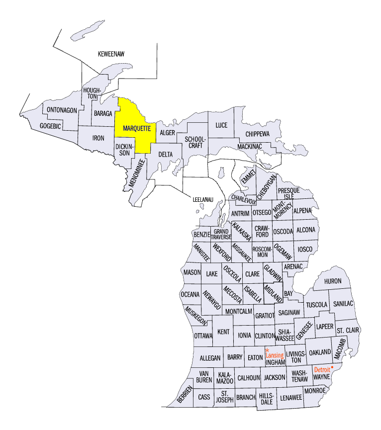
(Figure 9). In total, an astounding more than 1400 daily low temperature records were set (Figure 10), with more than 1100 of those records coming from low maximum temperatures. Very few of these records came from Indiana, Ohio and Kentucky, where less than 30 low records were recorded. More than 20 monthly average station temperature records were broken as well, including the Marquette County, MI area (144 years on record).
Record Snowfall
Extreme cold for October led to record snowfall in the Upper Midwest in October
(Figure 11). An eight-day stretch from October 20-27 brought snow to Minnesota, Wisconsin, Michigan, Iowa and even northern Missouri (Figure 12). Totals were highest in Minnesota, where amounts between 6-10 inches were common. Lake-effects led to amounts over 15 inches in the U.P. of Michigan. A major storm that impacted the Upper Midwest from October 20-23 led to most of this snowfall
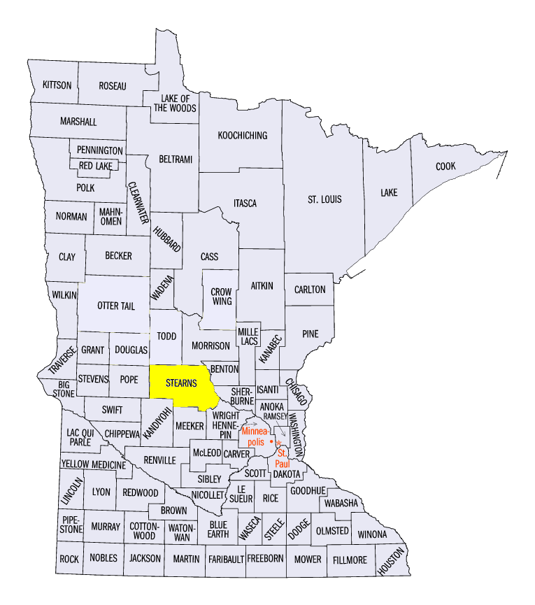
(Figure 13). A secondary storm that was less intense followed shortly after, leading to snowfall in southern Minnesota, western Iowa and northwestern Missouri. With snowfall uncommon in October, more than 290 daily snowfall records were broken (Figure 14), and more than 50 monthly snowfall records were broken. Cities that broke monthly records included Minneapolis-St. Paul, MN (142 years on record), St. Cloud, MN (Stearns County, 126 years on record), Marquette, MI (Marquette County, 136 years on record), Eau Claire, WI (Eau Claire County, 128 years on record) and Rhinelander, WI (Oneida County, 102 years on record).
Drought Persists
Drought persisted in western Iowa, southern Missouri, Illinois and Indiana during October according to the U.S. Drought Monitor
(Figure 15). While some ebb and flow were observed across Illinois, Indiana and southern Missouri, overall drought percentage changed by only around 5 percent for the region from the start (Figure 16) to the end of the month. Severe and extreme drought persisted in western Iowa throughout the month, while some improvement was observed in southwestern Missouri. Overall, 12 percent of the Midwest was in drought as of the October 27th Drought Monitor.
Scattered Severe Weather
Scattered severe weather in the Midwest led to slightly less than 100 reports of strong winds and hail in October. Many of these reports occurred on October 23
(Figure 17) in Indiana, Ohio and Michigan along the cold front of a potent storm system. Strong winds toppled trees and power lines in these areas as hail damage was also noted. Strong storms were also prevalent in extreme western Iowa and Minnesota on October 11 (Figure 18). Toppled trees and power lines were reported along with 2.5-inch hail near Ortonville, MN.
-BJP-