September 1-7, 2020
Midwest Weekly Highlights - September 1-7, 2020
Cool in the Upper Midwest
Temperatures were below normal in the Upper Midwest during the first week of September
(Figure 1). Areas in northern Minnesota, northern Wisconsin and the U.P. of Michigan were 4-6°F below normal, with southern Wisconsin and Minnesota 2-3°F below normal. Meanwhile, temperatures in the southern half of the region were near- to slightly above normal. Some areas of eastern Ohio and southwestern Missouri were 2°F above normal, while most of Illinois and Indiana were within a degree of normal.
Ohio Valley Rainfall
Precipitation was concentrated along the southern Ohio River Valley and from northeastern Iowa through northern Illinois during the week (Figure 2). Amounts of 1-2 inches fell in these areas, with locally heavier amounts. Precipitation in these areas was more than twice the normal amount (Figure 3). Some of the heaviest rainfall fell through the mornings of
September 3 (Figure 4) and September 6
(Figure 5). However, little rain fell across western Iowa, northern Minnesota, northern Wisconsin and the northern Ohio River Valley. Most of these areas had less than half the normal amount, with some areas receiving less than a quarter of normal.
Drought Continues to Expand
With sparse rainfall in Iowa and northern Illinois, drought expanded according to the September 1 U.S. Drought Monitor (Figure 6). More than 82 percent of Iowa was in drought, with less than one percent not in abnormally dry or drought conditions in the state. Areas in extreme drought more than doubled in western Iowa, while severe drought increased more than eight percent.
Severe Weather
Strong storms on September 5 and September 7 led to strong winds and hail
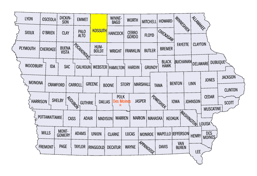
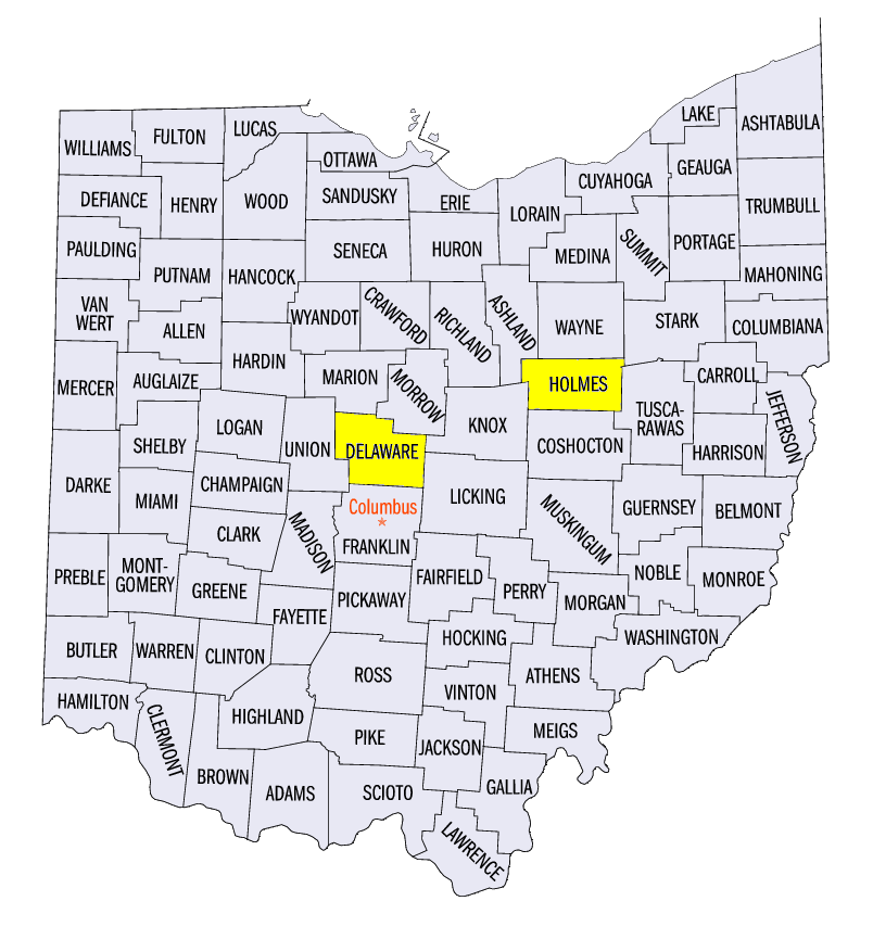
(Figure 7). On September 5, large hail impacted southern Minnesota, where 2.5-inch diameter hail fell near Olivia (Renville County) and near Wanda (Redwood County). Strong winds also impacted northern Iowa, where a personal weather station near Titonka (Kossuth County) recorded an 83-mph wind gust. Fallen trees and power lines were reported. On September 7, scattered thunderstorms in central Ohio led to severe winds, and some large hail. This included a 2-inch diameter hailstone near Nashville, OH (Holmes County). A weak EF-0 tornado was also confirmed near Delaware, OH (Delaware County).
-BJP-