June 1-9, 2020
Midwest Weekly Highlights - June 1-9, 2020
Widespread Heat
Temperatures were hot across the entire Midwest during the first week of June
(Figure 1). Most of southern Minnesota, Iowa, and northwestern Missouri were 8-11°F above normal, with most of the Ohio River Valley 2-5°F above normal. Maximum temperatures in the 80s were widespread (Figure 2), with western Iowa averaging in the low 90s. The heat led to more than 490 combined daily high maximum and minimum temperature records in the region
(Figure 3).
Mostly Dry
Most of the Midwest was drier during the week (Figure 4). Only a major precipitation event in northern Minnesota produced well above normal precipitation prior to the impacts of Tropical Storm Cristobal
(Figure 5). Most of Illinois, Indiana, Michigan and western Iowa had less than half the normal amount for the full period (Figure 6). Impacts from Cristobal through the morning of June 9, along with several other storms in the period led parts of Missouri to have more than twice the normal amount.
Remnants of Tropical Storm Cristobal Impact Midwest
Tropical storm Cristobal impacted the Midwest as its remnants tracked through the western half of the region from June 8-10 (Figure 7). It was exceptionally rare for a storm to track this far west, as Cristobal was only the 2nd recorded tropical system to track across Iowa and only the third to track through on-shore Wisconsin. The remnants of Hurricane Gilbert in 1988 tracked across maritime southeast Wisconsin.
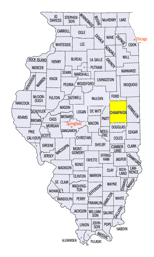
The event was marked with heavy rain from Missouri through Iowa, Minnesota and western Wisconsin, with strong winds impacting parts of Illinois, Indiana, Michigan and the Great Lakes. Rainfall in Missouri through the morning of May 9 reached 2-3 inches in some areas (Figure 8). During the day on May 9, eastern Iowa, southeastern Minnesota and northern Wisconsin received amounts of 2.50-3.50 inches, with locally heavier amounts (Figure 9). More than 80 daily precipitation records were recorded through the morning of June 10 (Figure 10). Sustained non-thunderstorm wind speeds of 20-30 mph were widespread in eastern Illinois and western Indiana (Figure 11). Chicago Midway Airport recorded a 62-mph wind gust, while O’Hare recorded a 60-mph wind gust. Champaign, IL (Champaign County) also recorded a 53-mph wind gust.
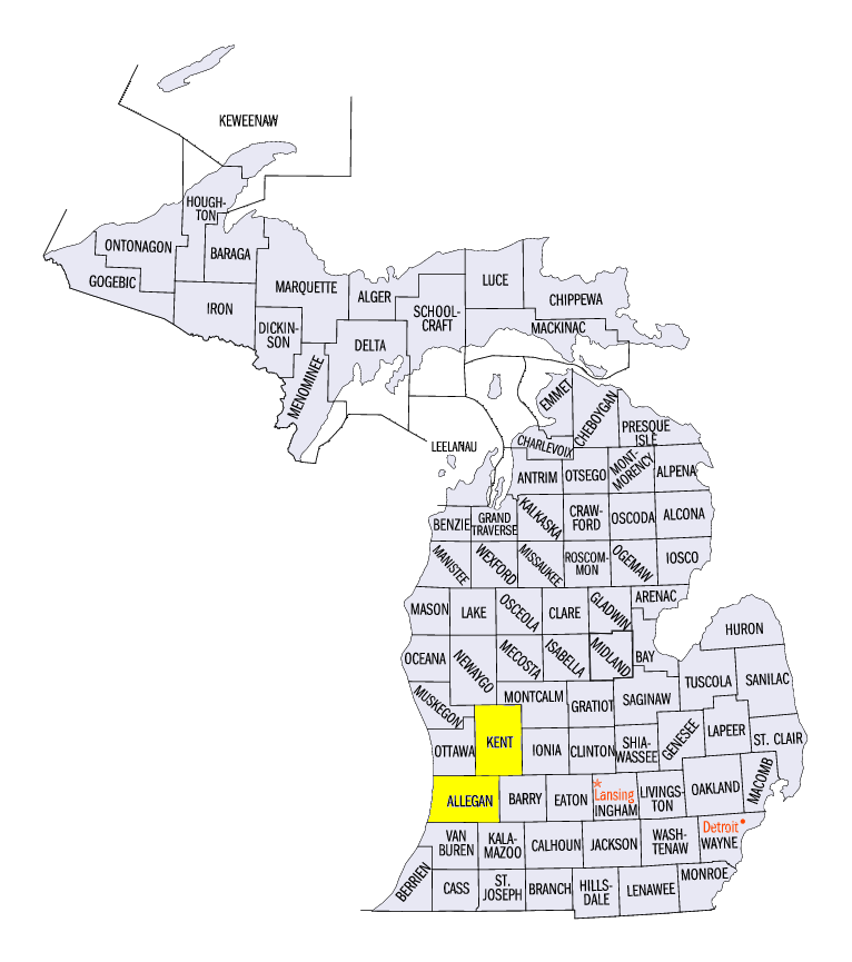
In Michigan, severe thunderstorms led to strong winds which damaged trees and power lines (Figure 12). A 75-mph wind gust was reported near Grandville, MI (Kent County), while a 73-mph gust was reported near Holland, MI (Allegan County). More than 375,000 energy customers in the state were without power in total. Hail up to 2.0 inches in diameter was also reported in the Chicago area and in Bryan, OH (Williams County). Several short-lived tornadoes also impacted Ohio, including an EF-0 tornado Chillecothe, OH (Ross County).
Active Week of Severe Weather
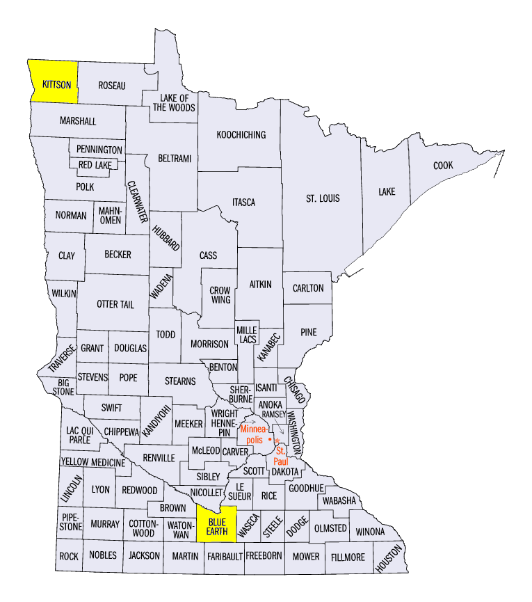
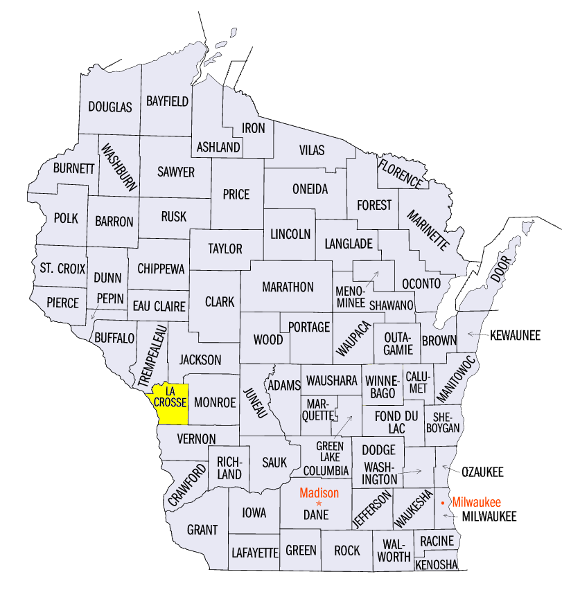
While overall precipitation was below normal, severe weather activity was high across the Midwest (Figure 13). Prior to the impacts of Cristobal, more than 450 reports of strong winds and hail were reported across the region. Many of these reports occurred on June 2 from southern Minnesota, southern Wisconsin and Lower Michigan (Figure 14). Wind gusts of 55-65 mph were common, with a wind gust of 75 mph from a ship on Lake Michigan. Hail over 2 inches in diameter was reported in southern Minnesota and west-central Wisconsin, including 2.5 inches near Garden City, MN (Blue Earth County) and near Holmen, WI (La Crosse County). Large trees, roofs and light poles were reported as damaged from the storms.
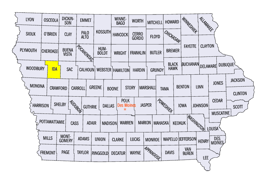
On June 4, strong winds and hail impacted southwestern Minnesota and Iowa along with Ohio. Reports of large hail included 2.5 inches near Ida Grove, IA (Ida County) and 2 inches hail near Milford, OH (Union County). Strong wind gusts up to 60 mph were also reported.
Strong storms on June 7 and June 8 in northwestern Minnesota led to strong winds and large hail. Strong winds were reported along the Minnesota and North Dakota border on June 7, while storms on June 8 narrowly tracked along extreme northwestern Minnesota on June 8. Several tornado reports were received on June 8, with minor damage to trees. A 3-inch diameter hailstone was also reported near Lake Bronson, MN (Kittson County).
-BJP-