April 8-14, 2020
Midwest Weekly Highlights - April 8-14, 2020
Cold Returns
Temperatures were colder than normal across the western half of the Midwest during the week
(Figure 1). Only a few areas of Indiana, Ohio, Michigan and northeastern Illinois were near normal. Some of the coldest areas were in Minnesota and western Iowa, where temperatures were 8-10°F below normal. Minimum temperatures averaged below freezing in the Upper Midwest and western Iowa (Figure 2) while maximum temperatures in these areas were largely below 50°F
(Figure 3). The cold over the Upper Midwest led to more than 150 daily low maximum and minimum temperature records (Figure 4).
Wet Wisconsin, Michigan, Kentucky
A major storm system from April 11-13 brought heavy precipitation to areas of Wisconsin, Michigan, Kentucky and southern Ohio
(Figure 5). Amounts over 2 inches were reported in southern and eastern Kentucky and southeastern Ohio. Amounts over an inch were also recorded in the U.P. of Michigan. For most of these areas, this was more than twice the normal amount (Figure 6). More than 70 daily precipitation records were broken across the region
(Figure 7). Meanwhile, much drier conditions were observed across most of Illinois, Missouri, Indiana and Minnesota, with areas in northern Minnesota receiving less than a quarter of normal.
April 11-13 Upper Midwest Snowstorm
A late-season snowstorm impacted the Upper Midwest from April 11-13 dumped more than four inches of snow from southern Minnesota through the U.P. of Michigan. While the storm started to bring snow late on the day on April 11 through the morning of April 12 (Figure 8) in southwestern Minnesota, most of the snowfall occurred through the morning of April 13
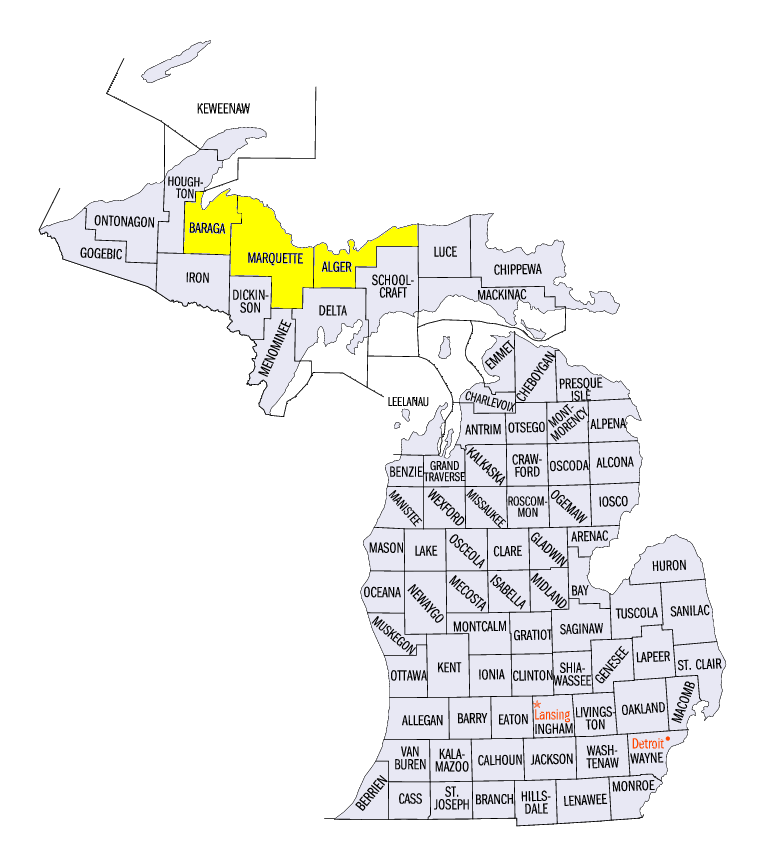
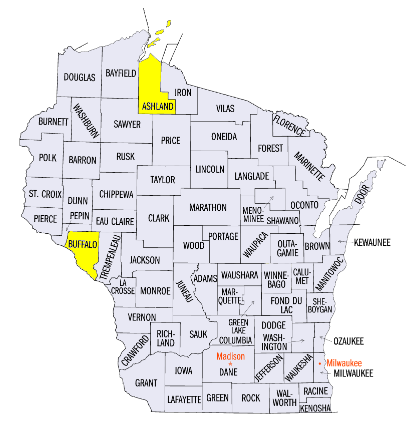
(Figure 9). The heaviest snowfall fell in northern Wisconsin and the U.P. of Michigan, where 8-12 inches were common. Some of the heaviest amounts included 20.1 inches in Marquette, MI (Marquette County), 19.0 inches in Herman, MI (Baraga County), 15.2 inches in Munsing, MI (Alger County), 13.3 inches near Butternut, WI (Ashland County), and 12.0 inches near Mondovi, WI (Buffalo County). The heavy snow led to more than 90 daily snowfall records across the Upper Midwest
(Figure 10).
-BJP-