October 1-7, 2019
Midwest Weekly Highlights - October 1-7, 2019
Upper Midwest Drenched Again
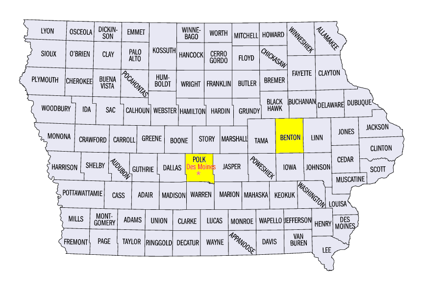
Near-record September rainfall in areas of the Upper Midwest continued into the first week of October (Figure 1). Areas of Iowa, southern Wisconsin and central Lower Michigan received more than three inches of rain, with locally heavier amounts over four inches in northeastern Iowa and southwestern Wisconsin. Most of this rain fell through the morning of October 2 (Figure 2). Some of the heaviest amounts for the period included 6.45 inches in Beaver Dam, WI (Dodge County), 6.37 inches in Horicon, WI (Dodge County) and 6.26 inches in Vinton, IA (Benton County). Much needed rain also fell in Kentucky through the morning of October 7
(Figure 3). More than twice the normal amount fell across most of the state (Figure 4). Heavy rain in these areas led to more than 250 daily precipitation records being broken across the Midwest
(Figure 5). The only significantly dry areas across the region were from central Missouri through the northern Ohio River Valley. Most of these areas had less than half the normal amount for the week.
Temperatures Divided Northwest to Southeast
Lingering warmth from a near-record September finally gave way to cooler than normal temperatures during the week (Figure 6). While maximum temperatures in the upper 80s to 90s were widespread through the morning of October 1
(Figure 7), 40s 50s and 60s were much more common by October 4 in the Upper Midwest (Figure 8). This left the Ohio River Valley still warmer than normal, while parts of the Upper Midwest were slightly cooler than normal. The divide in temperatures was most noticeable with daily maximums
(Figure 9), as eastern Kentucky was 10-12°F above normal, while southern Minnesota was 7-9°F below normal. However, minimum temperatures stayed warm across most of the region (Figure 10). This led to average temperature in parts of Wisconsin, eastern Iowa and the U.P. of Michigan being within a few degrees of normal. While only a handful of daily low temperature records were broken
(Figure 11), nearly 800 daily high maximum and minimum temperature records were tied or broken during the week (Figure 12). Most of these records occurred on October 1
(Figure 13) and October 2 (Figure 14).
Flooding and Flash Flooding
Significant rainfall in already saturated areas of southwestern Wisconsin and northeastern Iowa led to flash flooding on October 1-2
(Figure 15). The hills and valleys of the Driftless Area funneled water into areas and left roads closed in Grant County, WI. Minor and moderate flooding also developed. By the end of the week, rains led to flooding in northern Illinois and along the Mississippi River from the Quad Cities through St. Louis (Figure 16). Minor and moderate flooding also occurred along the Missouri River as water from rainfall in late September began to move downstream.
Severe Drought in Kentucky
Before heavy rain through the morning of October 7 brought some relief to Kentucky, severe drought formed across over half the state in the October 1 U.S. Drought Monitor
(Figure 17). More than 90 percent of the state was in at least moderate drought. Extreme drought also was added to several counties in eastern Kentucky. Moderate drought was also in areas in the Ohio River Valley. Decreases in abnormally dry conditions and drought were observed however across Illinois, northern Indiana and Lower Michigan. Overall, more than seven million people were estimated to be living in drought-affected areas.
October 1 Severe Weather
Heavy rain was accompanied by severe weather in parts of Iowa and southern Wisconsin on October 1 (Figure 18). Strong winds and hail were reported, along with several weak tornadoes. The strongest was an EF-1 tornado surveyed near Sullivan, WI (Jefferson County). Large hail up to 2.75 inches in diameter was also reported in the Des Moines, IA area (Polk County).
-BJP-